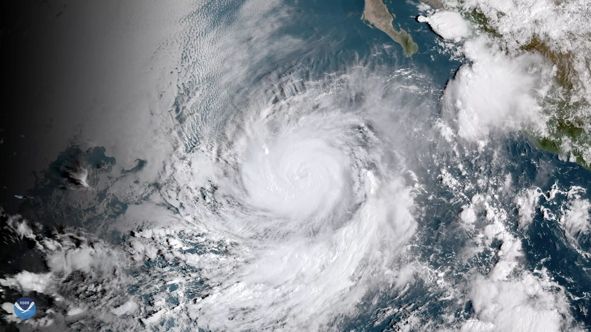
Hurricane Rosa, seen here by GOES East satellite on Sept. 27, 2018 at 11 a.m. ET, is still gaining strength over the eastern Pacific and is forecast to become a major hurricane later today or tonight.
Rosa became a hurricane Wednesday morning, and by early Thursday the storm already had maximum sustained winds of 105 mph with higher gusts. Thursday morning, Rosa was located about 530 miles southwest of the southern tip of Baja, California.
The latest forecast from the National Hurricane Center (NHC) shows the storm moving west at about 12 mph on Thursday before slowing down and turning to the west-northwest on Friday. Although Rosa is expected to gradually weaken over the weekend, its remnants could bring an extended period of heavy rainfall to the southwestern U.S. early next week.
The NHC notes that swells generated by Rosa will affect portions of southwestern Mexico’s coast and the southern Baja California Peninsula late this week and over the weekend.
This geocolor-enhanced imagery was created by NOAA's partners at the Cooperative Institute for Research in the Atmosphere. The GOES East geostationary satellite, also known as GOES-16, provides coverage of the Western Hemisphere, including the United States, the Atlantic Ocean and the eastern Pacific. The satellite's high-resolution imagery provides optimal viewing of severe weather events, including thunderstorms, tropical storms and hurricanes.
