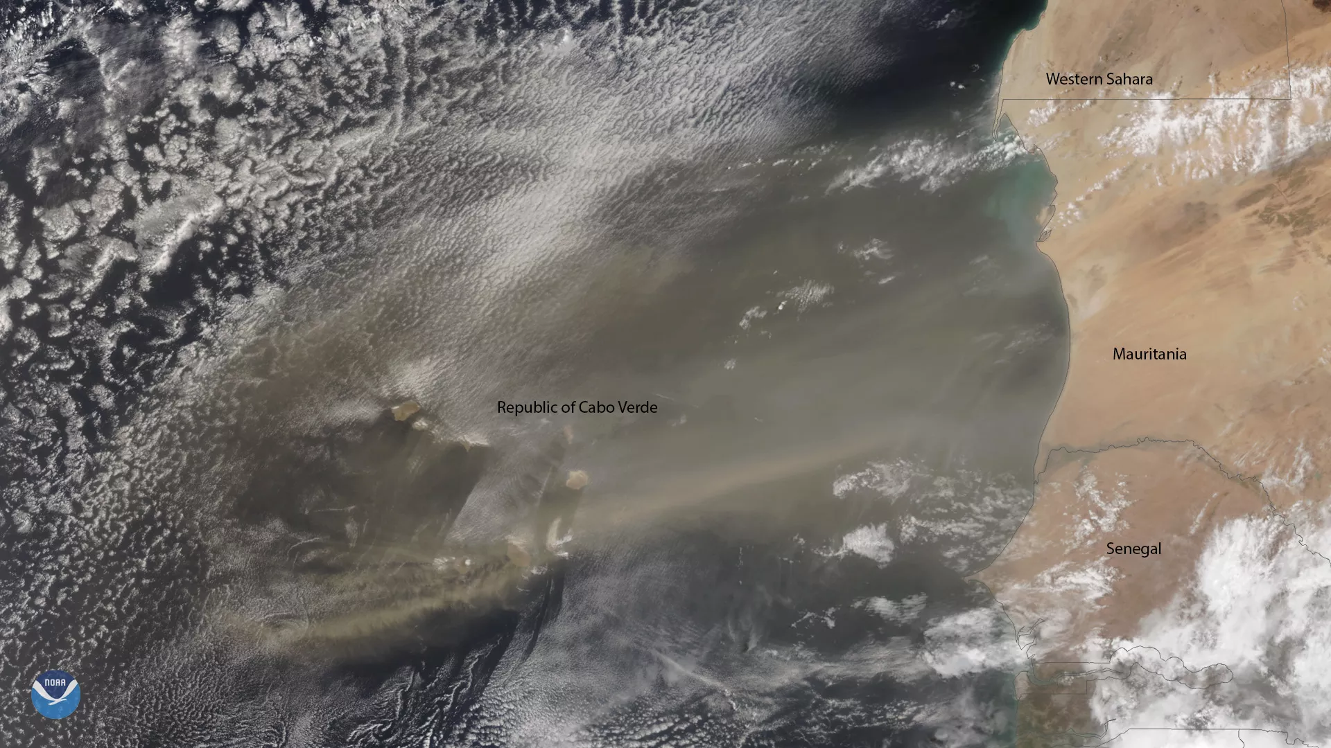
A plume of Saharan dust reaches beyond the Republic of Cabo Verde, which is located approximately 350 miles off the coast of northwest Africa, and across the tropical North Atlantic Ocean in this NOAA-20 image from June 10, 2019.
Every three to five days during the late spring, summer, and early fall, a mass of dusty air known as the Saharan Air Layer (SAL) forms over the Sahara Desert and moves westward across the tropical North Atlantic. The SAL, which extends about 5,000-20,000 feet in the atmosphere, plays an important role during hurricane season. Large amounts of dust create a stable layer of dry, sinking air, which can suppress hurricane development.
It can also be transported as far as the Amazon River Basin, where minerals in the dust replenish nutrients in rainforest soils that are continually depleted by tropical rains.
This image was captured by NOAA-20's VIIRS instrument, which scans the entire Earth twice per day at a 750-meter resolution. Multiple visible and infrared channels allow us to obtain high-resolution satellite imagery of clouds, storms and atmospheric aerosols, such as dust and sand.
