

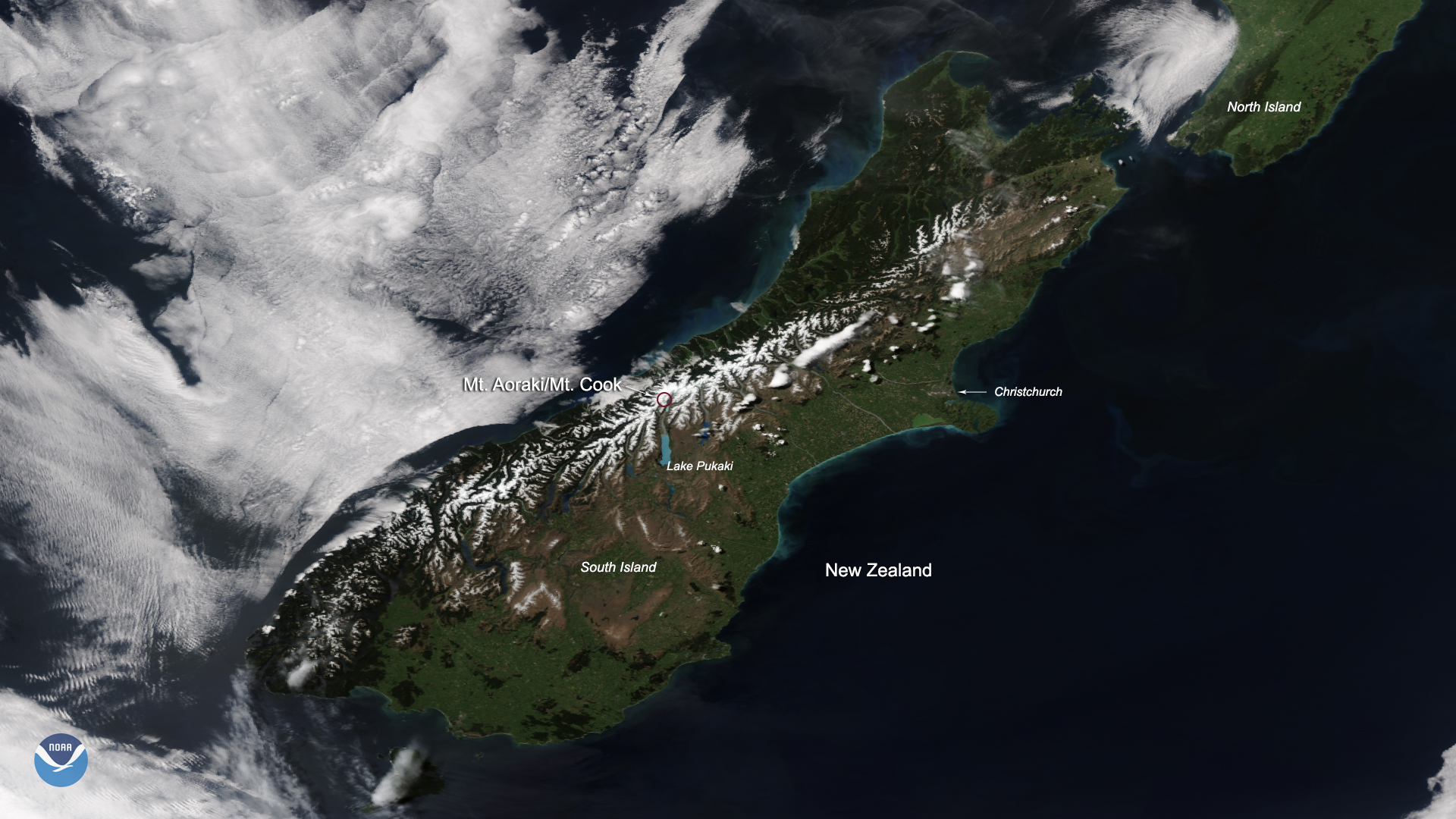
A break in cloud cover allowed the NOAA-20 satellite to snap this stunning view of New Zealand’s Southern Alps, complete with gleaming snow cover, on Nov. 3, 2019.
This mountain range is located on South Island, New Zealand, and is the highest in Australasia, with peaks varying in elevation from 3,000 feet to more than 10,000 feet. The highest, circled in red, is Aoraki/Mount Cook. This mountain has three peaks, the highest of which towers at 12,218 feet above sea level.
To the south is Lake Pukaki, easily visible in vivid blue due to glacial flour from the Tasman and Hooker Glaciers. Glacial flour is fine grained particles of silt, created by grinding of rock due to glacial erosion.
This true-color image was captured by the VIIRS sensor onboard NOAA-20, which provides daily, high-resolution visible and infrared images of Earth's atmosphere from across the globe.