
DATA FROM SATELLITE WILL IMPROVE WEATHER AND HAZARD FORECASTS OUT TO 7 DAYS
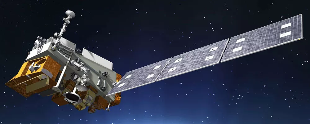
NOAA-20, the first of four in the NOAA’s next generation Joint Polar Satellite System (JPSS) series, was declared operational today by the agency’s top officials.
Launched last November as JPSS-1 and renamed NOAA-20 upon reaching its final orbit, the advanced satellite cleared a rigorous test phase of its instruments and data systems.
The satellite features the latest and best technology NOAA has ever flown in a polar orbit to capture more precise observations of the world’s atmosphere, land and waters. Data from the satellites five instruments will help improve the timing and accuracy of weather and hazard forecasts out to seven days.
NOAA-20 now becomes the agency’s primary polar-orbiting satellite. It joins Suomi NPP, the joint NOAA-NASA weather satellite, in giving the U.S. the benefit of two, sophisticated polar satellites in the same orbit. Each circles the globe 14 times a day, 50 minutes apart, providing full, global observations that help with U.S. weather and hazard prediction.
“The sophisticated technology aboard NOAA-20 as well as the recently launched GOES-16 and GOES-17 satellites, will allow our forecasters to better warn of potentially dangerous weather conditions days in advance,” said Secretary of Commerce Wilbur Ross. “This will help save lives, property and ensure that businesses can minimize disruptions from such events.”
NOAA-20 provides NOAA’s National Weather Service with global environmental data it needs in its models to develop timely and accurate weather forecasts out to seven days. And data from NOAA-20’s instruments, including the Visible Infrared Imaging Radiometer will provide high-resolution imagery and enable better observations and predictions for fog, ice formations and ice breaking in the Arctic, and to spot volcanic eruptions and wildfires at the very early stages.
“One immediate benefit of NOAA-20 is to provide data that will allow forecasters to better track developing storms in the Arctic, Alaska and Antarctica, where NOAA’s geostationary satellites can’t provide a direct view,” said retired Navy Rear Adm. Tim Gallaudet, Ph.D., Assistant Secretary of Commerce for Oceans and Atmosphere and Acting Under Secretary of Commerce for Oceans and Atmosphere. “These forecasts are critical for the fishing, energy, transportation, and recreation industries who operate in some of the most changeable and harshest conditions on the planet.”
JPSS-2, the second in the series, is planned to launch in 2021, followed by JPSS-3 and JPSS-4 in 2026 and 2031, respectively. Satellites from this series are designed to operate for seven years, with the potential for several more years.