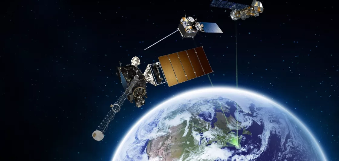
Around the world...around the clock...NOAA proudly stands watch. As an integral part of worldwide search and rescue, NOAA operates the Search And Rescue Satellite Aided Tracking (SARSAT) System.

As an integral part of the international search and rescue satellite program called COSPAS-SARSAT, NOAA operates the Search and Rescue Satellite Aided Tracking (SARSAT) System to detect and locate mariners, aviators, and other recreational users in distress almost anywhere in the world at anytime and in almost any condition.
This system uses a network of satellites to quickly detect and locate distress signals from emergency beacons onboard aircraft, vessels, and from handheld personal locator beacons called PLBs. The SARSAT transponder that will be carried onboard the GOES-R satellite will provide the capability to immediately detect distress signals from emergency beacons and relay them to ground stations - called Local User Terminals. In turn, this signal is routed to a SARSAT Mission Control Center and then sent to a Rescue Coordination Center which dispatches a search and rescue team to the location of the distress.
GOES-R continues the legacy Geostationary SAR (GEOSAR) function of the SARSAT system onboard NOAA’s GOES satellites which has contributed to the rescue of thousands of individuals in distress. The SARSAT transponder will be modified slightly for GOES-R by being able to operate with a lower uplink power (32 dBm) enabling GOES-R to detect weaker signal beacons.
For more information about NOAA SARSAT, please visit the NOAA SARSAT homepage.
