

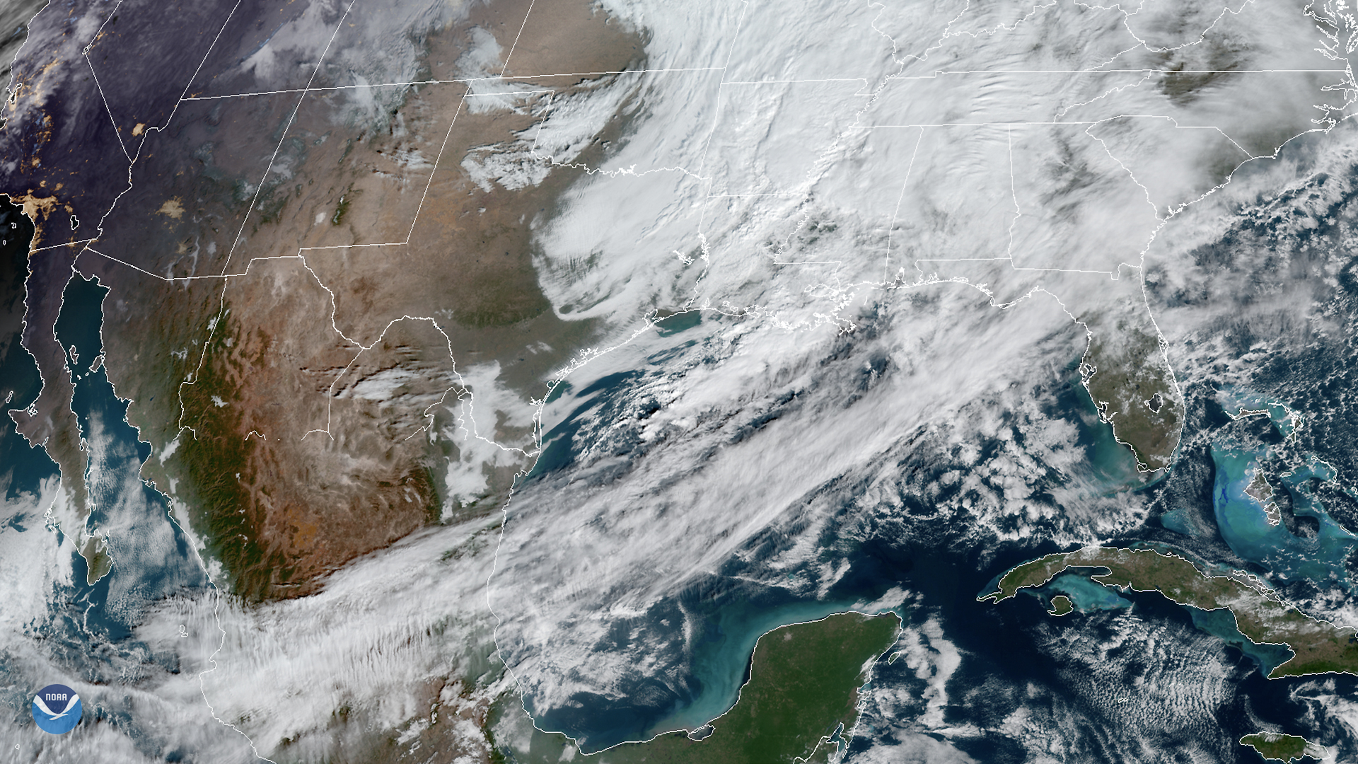
On Jan. 23, 2020, the GOES East satellite viewed strong southwesterly winds ahead of a cold front traversing the Gulf of Mexico. The front is disrupting the pattern of cloud streets that were emanating south of the Mississippi Delta the previous day. The National Weather Service (NWS) adds that “fresh northern winds are expected behind the front [and] the next cold front is likely to enter the northwestern Gulf by Sunday.”
In 1985, The National Ocean Service (NOS) created a chart that detailed the prevailing wind patterns of the Gulf. They found that the “[wind] circulation in the Gulf of Mexico during the winter is primarily anticyclonic (clockwise around high-pressure areas)...” It also explains that while trade winds dominate the southern Gulf, the northern Gulf is strongly influenced by polar continental air masses ("northers") moving southward over Texas and Louisiana. These two winds, when interacting with each other, tend to stall and form areas of low pressure that produce rain, clouds, and fog.
The prevailing winds have not significantly changed in the 35 years since the map’s creation at NOS, but warmer water temperatures in the Gulf could forewarn an increase in tornado outbreaks for adjacent regions of the U.S. Additionally, heavy precipitation due to a warming climate has increased for the U.S., “with some,” adds this Climate.gov article, “of the largest increases happening in regions that feed the Mississippi watershed.” For the rest of the 21st century, the projected change in precipitation for the heaviest one percent of events will be between 20-29%. For the upcoming weekend, however, morning fog in the Rio Grande Valley and isolated showers in the Florida Keys will likely be the most noteworthy events.
The GOES East geostationary satellite, also known as GOES-16, keeps watch over most of North America, including the continental United States and Mexico, as well as Central and South America, the Caribbean, and the Atlantic Ocean to the west coast of Africa. The satellite's high-resolution imagery provides optimal viewing of severe weather events, including thunderstorms, tropical storms, and hurricanes.