
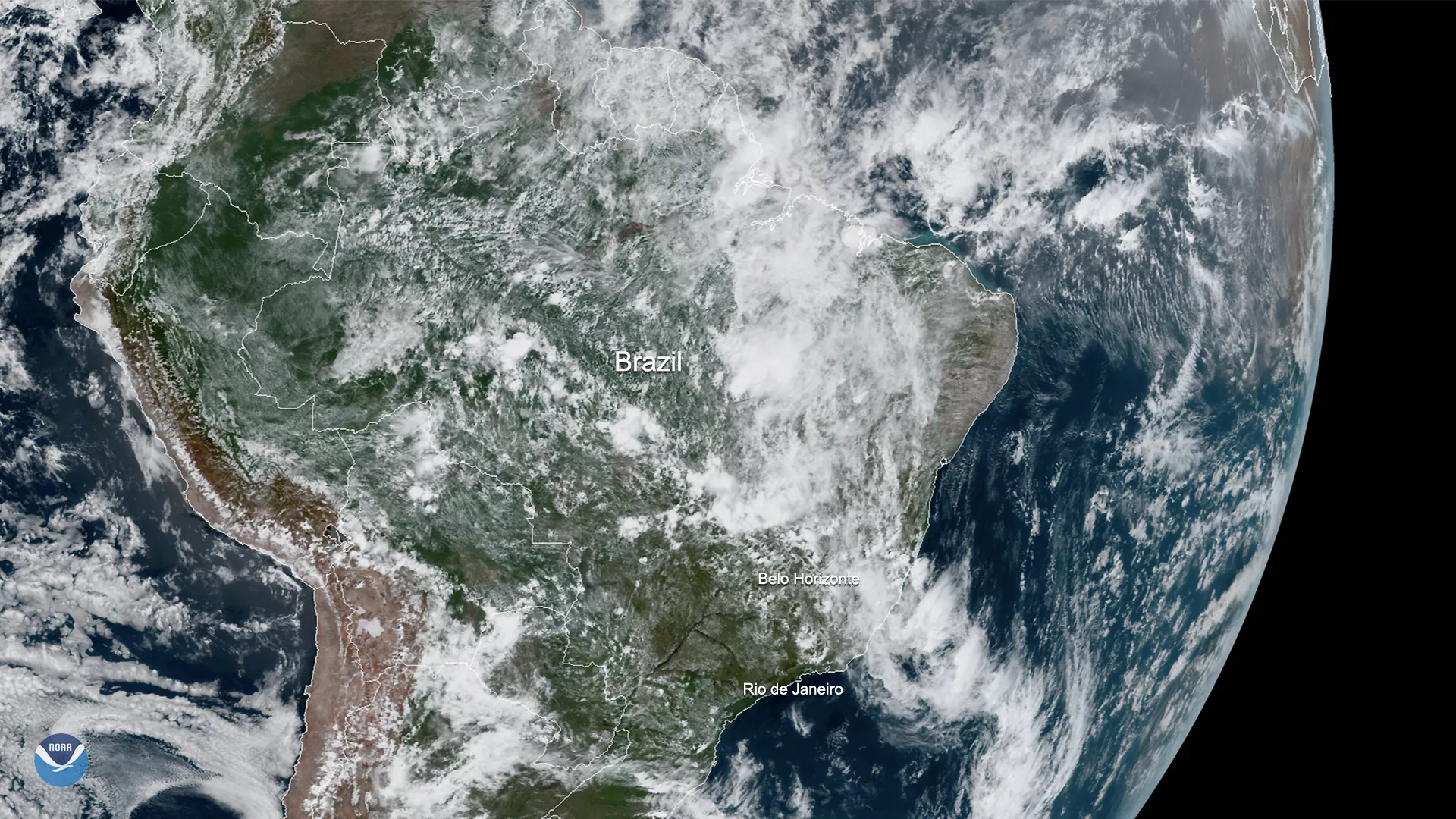
On Jan. 27, 2020, GOES-East saw the remnants of a massive storm system over the coast and interior of Brazil. Torrential rain started there on Jan. 24, and is continuing to cause massive landslides, flooding, and strong wind. Authorities in Minas Gerais, the worst-affected province in Brazil, have called a state of emergency for 99 municipalities, and are in the middle of coordinating rescue efforts for impacted residents.
As of 10:53 a.m. EST, the Civil Defense for Minas Gerais issued an alert for heavy rain in some cities in the region for later in the afternoon. Periodic alerts for the area have been in effect for the past weekend, with Belo Horizonte, the capital city of Minas Gerais, expected to receive over 4 inches of rain in the next 24 hours and wind gusts of more than 35mph.
According to Brazil’s meteorological agency, INMET , excessive amount of rain is the product of Brazil’s location in the South Atlantic Convergence Zone (SACZ), a meteorological term that describes a monsoonal feature/trough that's strongest in Brazil's warm season. It causes convective storms, or thunderstorms, to occur in the Brazilian rainforest and surrounding areas during the summer. However, the amount of rain that has fallen over the region, estimated to be over 23 inches for the period from Dec. 25–Jan. 26, has been double the historical rainfall rate that has been recorded by INMET for the past 40 years.
The GOES East geostationary satellite, also known as GOES-16, keeps watch over most of North America, including the continental United States and Mexico, as well as Central and South America, the Caribbean, and the Atlantic Ocean to the west coast of Africa. The satellite's high-resolution imagery provides optimal viewing of severe weather events, including thunderstorms, tropical storms, and hurricanes.