
Volcanic Hazards Initiative
Hot-Spotting
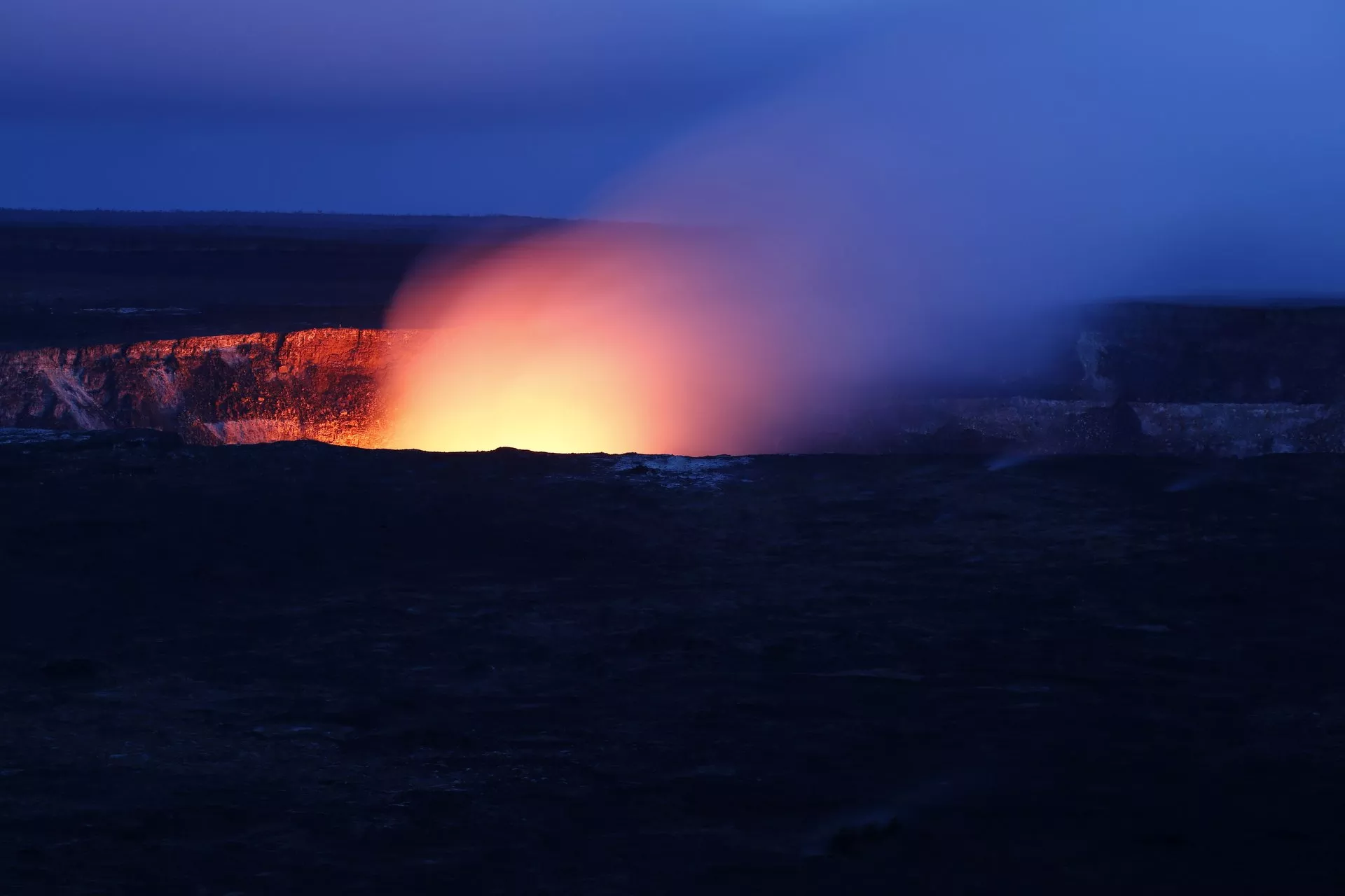
Improved monitoring of volcanic activity helps protect communities located near active volcanoes. It also improves aviation safety and efficiency, as ash from volcanoes is a major aviation hazard. The Volcanic Hazards Initiative develops new and innovative ways for weather satellite data to help us detect and respond to volcanic activity. A relatively new initiative, it identified a mission area where JPSS products could make an impact. The initiative develops multi-sensor products for volcanic hazard applications, such as volcanic cloud detection, tracking, and forecasting. Volcanic activity can produce an array of hazards, from ash clouds to particle emissions.
A relatively new initiative, it identified a mission area where JPSS products could make an impact. The initiative develops multi-sensor products for volcanic hazard applications, such as volcanic cloud detection, tracking and forecasting. Volcanic activity can produce an array of hazards, from ash clouds to particle emissions.
The Ozone Mapper
With JPSS and complementary data, scientists can quickly identify and characterize new volcanic activity. The combination of JPSS satellites like NOAA-20 and Suomi-NPP and sophisticated computer algorithms provides unique information on surface temperature anomalies associated with volcanic unrest, volcanic sulfur dioxide – a noxious gas – and volcanic ash-related hazards.
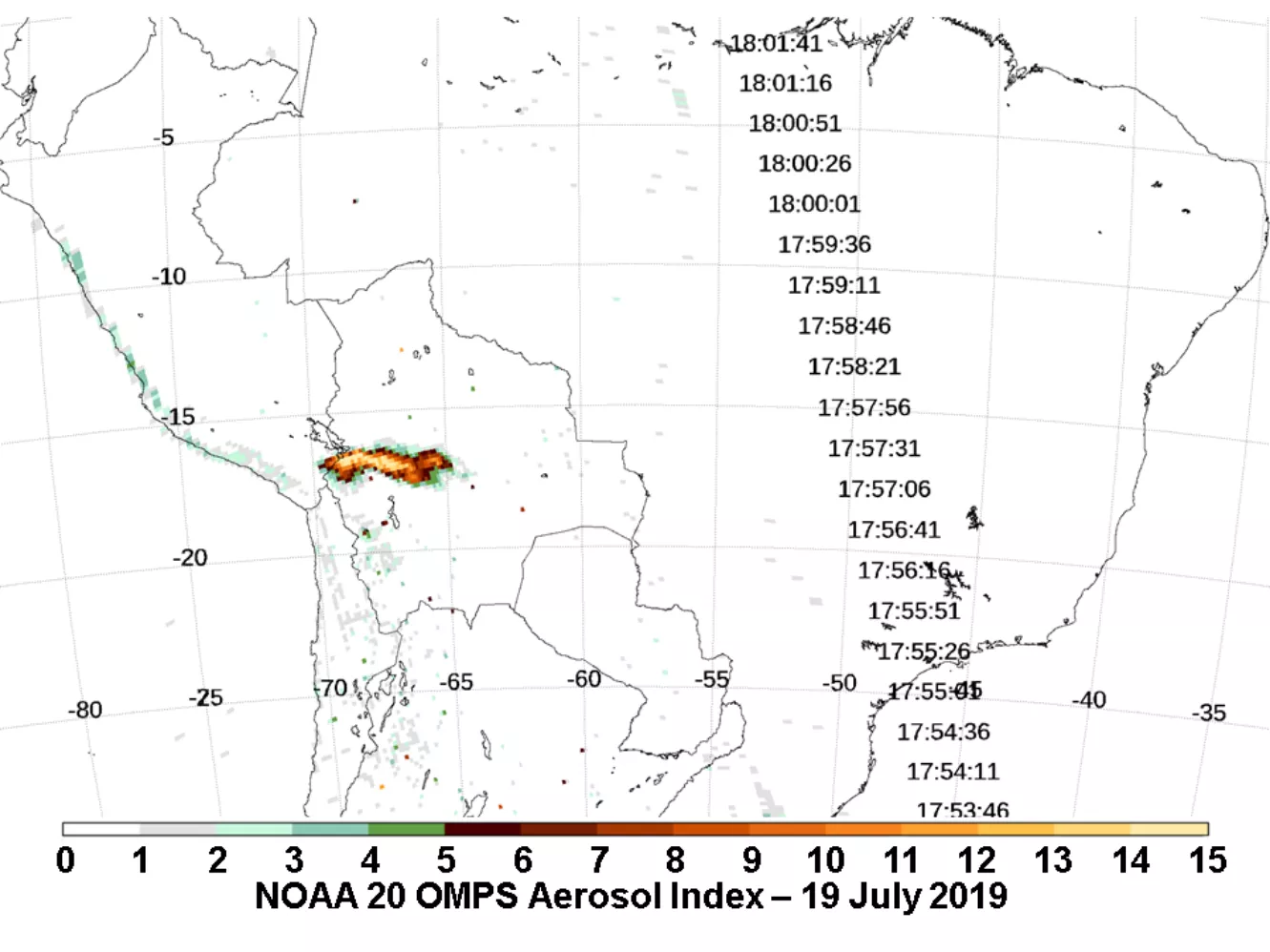
Image: The Ozone Mapper and Profile Suite (OMPS) on NOAA-20 captured this image of aerosols in the atmosphere spewing from the Ubinas Volcano in July 2019.
JPSS Imagery is available through the NOAA View website, an interactive software portal to visualize NOAA’s weather and environmental satellite data. There is also more information about how to download this data.