
Sounding Applications Initiative
Sound It Out: At-Mos-Phere
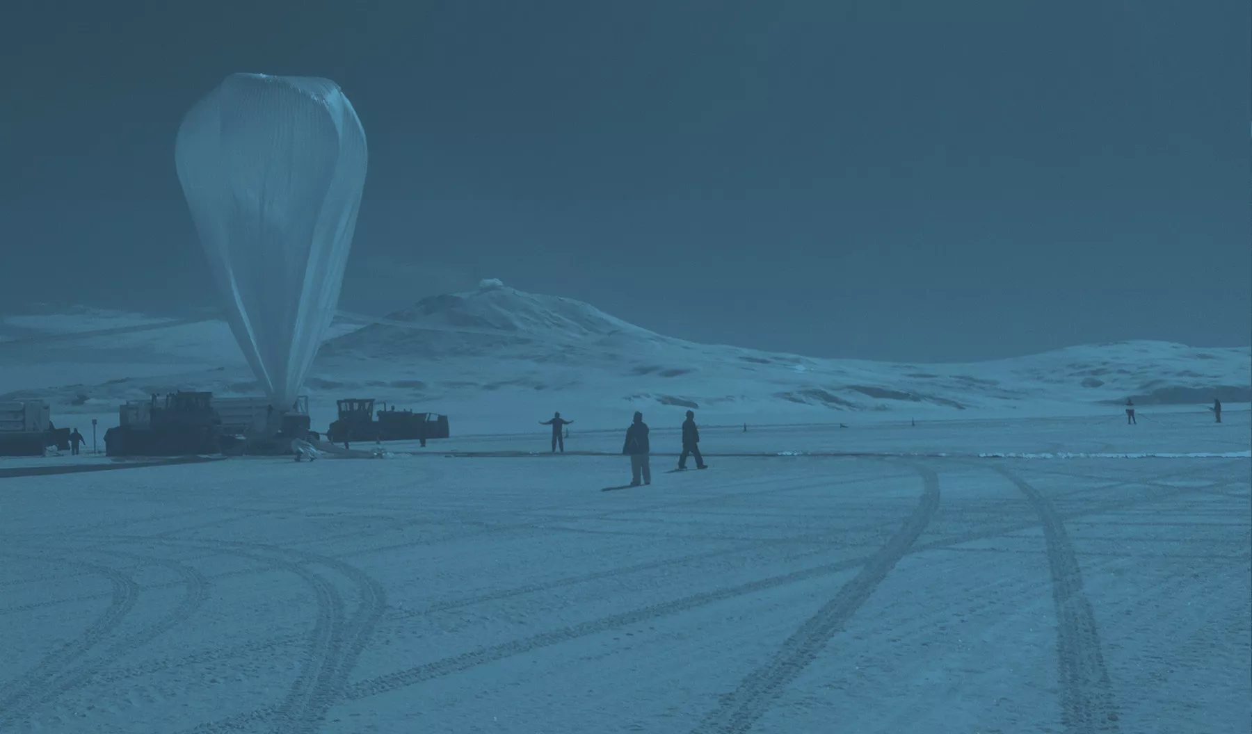
Twice daily, meteorologists across the globe launch hundreds of weather balloons. The data collected from these balloons helps to assess the current state of the atmosphere in their area as they rise and move with the upper level winds. Data gathered from these atmospheric measurements, or soundings, is key to developing local forecasts including temperature, humidity, winds, and precipitation.
Image: NASA sounding balloon preparing to launch
Atmospheric Soundings
However, with their twice-daily launches, these balloons can’t continuously monitor Earth’s atmosphere. Each takes a snapshot of the weather over a tiny portion of the globe during a limited time span. And few, if any, are launched over the oceans, which cover the bulk of Earth. To supplement this data, meteorologists have come to rely on atmospheric soundings taken continuously from polar-orbiting weather satellites, like those in the JPSS constellation. Many current geostationary satellites do not have sounding instruments.
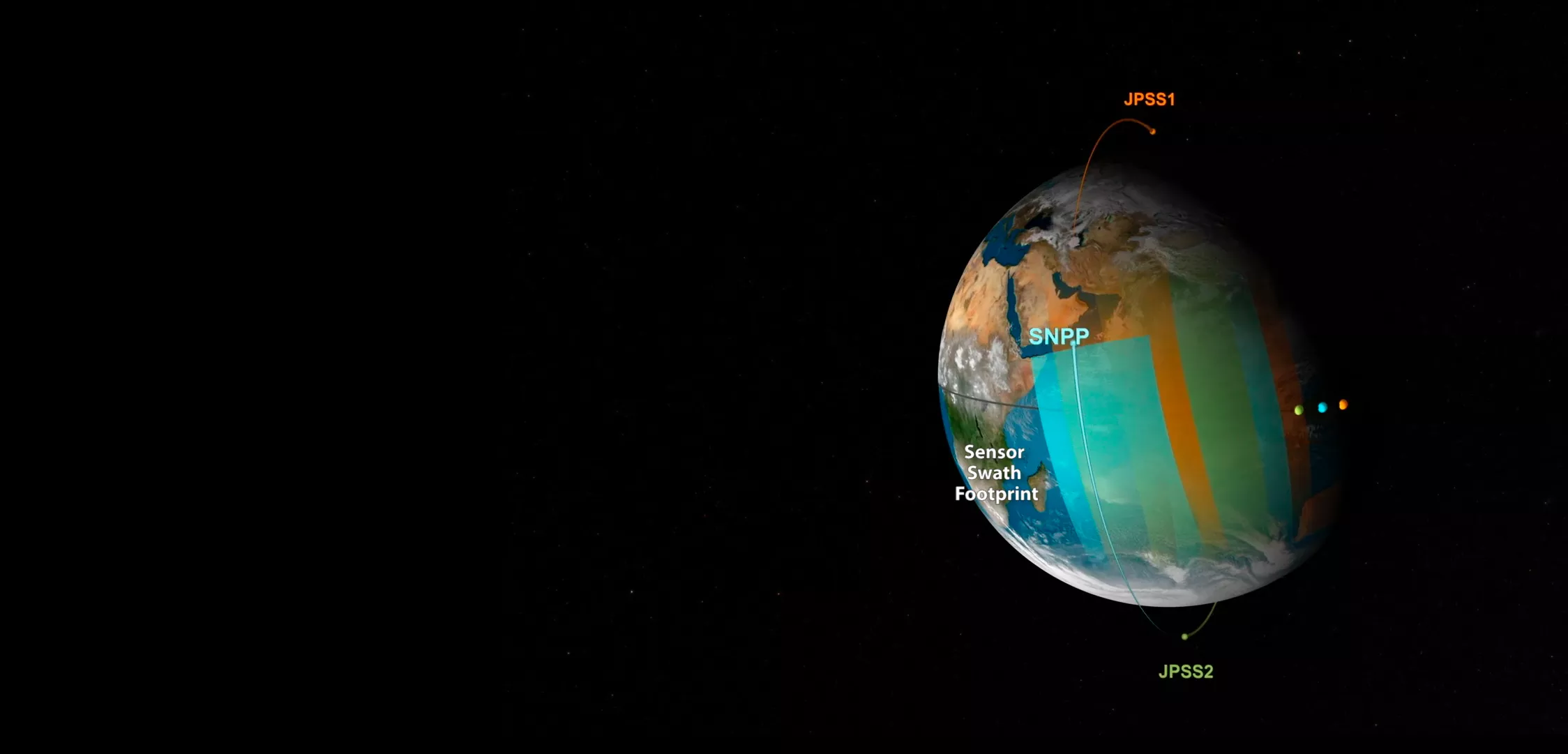
Image: JPSS Constellation Management.
ATMS Sounding Data
With each orbit, NOAA-20 and Suomi-NPP probe the sky from above, gathering sounding data for a vast stretch of Earth. In a single day, each satellite in the JPSS fleet circles the planet 14 times, capturing atmospehric measurements of the entire globe twice.
The Sounding Applications Initiative has helped to reduce delays in the transfer of this data down to Earth. Due to the experiments of the initiative, sounding data is now being delivered experimentally via direct broadcast, which allows users to get access to the information more quickly through their own antennas.
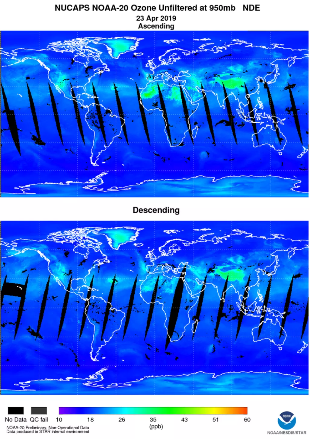
Advanced Technology Microwave Sounders (ATMS) onboard NOAA-20 and Suomi-NPP collect microwave radiation from the atmosphere to determine its temperature and moisture. ATMS data is joined with data from the Cross-track Infrared Sensor (CrIS) it provides the NOAA Unique Combined Atmospheric Processing System (NUCAPS) soundings. When compared to the sounding instruments first developed in the late 1950s, these NUCAPS soundings are higher resolution and cover a wider swath of Earth, improving the accuracy of storm tracking and the forecast overall.
These soundings have become so successful that NUCAPS soundings from other international satellites have been produced and made available to forecasters.The Sounding Applications Initiative, founded in July 2014, has been instrumental as the collaboration between sounding developers and forecasters continues to document their value and determine changes that could increase their value even more.
Access the NUCAPS Soundings
JPSS Imagery is available through the NOAA View website, an interactive software portal to visualize NOAA’s weather and environmental satellite data. The NUCAPS Global Map is also available, as well as more information about how to download this data.