
Search
Showing 521 - 528 of 628 results
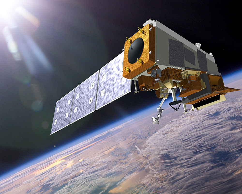
The successful launch of the GOES-R (Geostationary Operational Environmental Satellite R-series), now GOES-16 satellite was…
The Visible Infrared Imaging Radiometer Suite (VIIRS) instrument collects visible and infrared images and global…
Aug 13, 2024
August 13, 2024
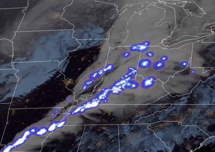
Satellite capabilities to monitor weather continue to expand. New sensors have recently been launched while others are being…
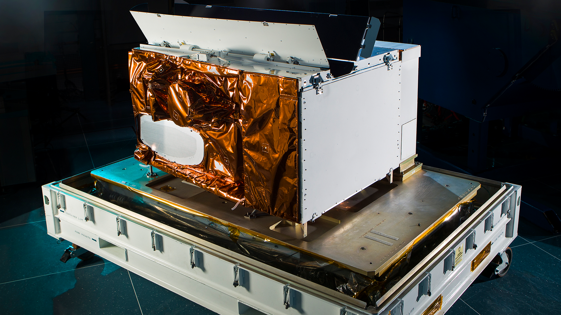
NASA, on behalf of NOAA, has selected Lockheed Martin Corp. to develop a lightning mapping instrument as part of NOAA’s…
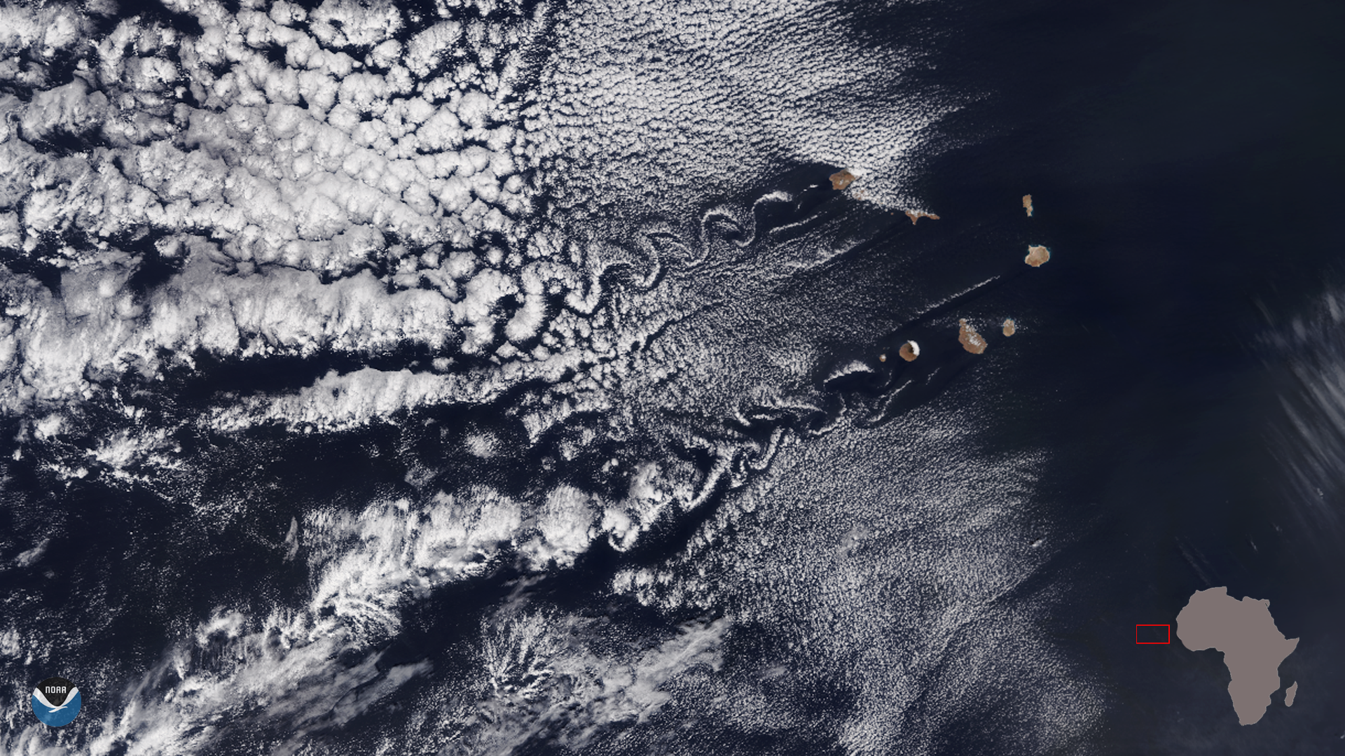
The NOAA-20 satellite captured this lovely image of a dual set of von Kármán vortices by the Cape Verde Islands (Republic of…
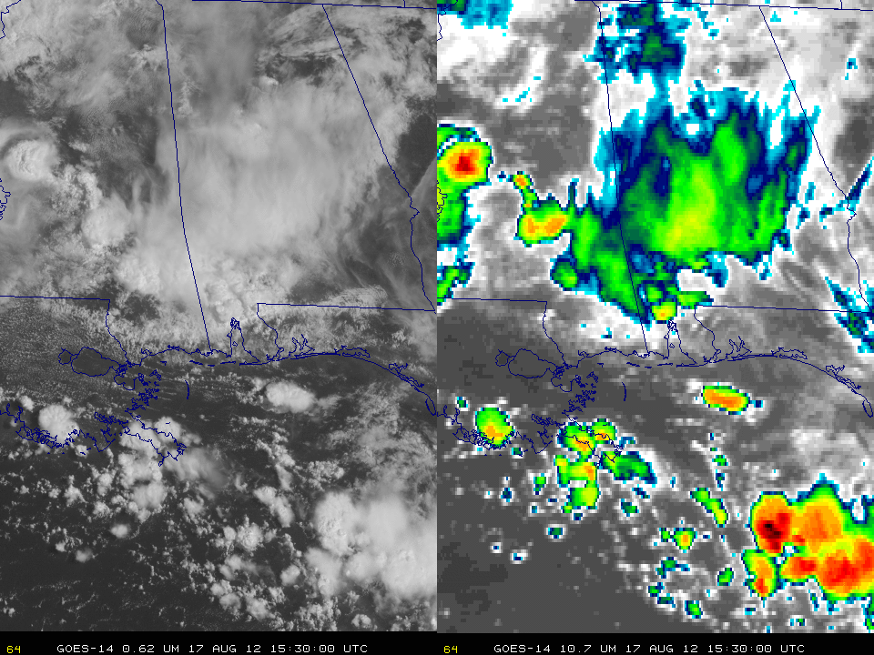
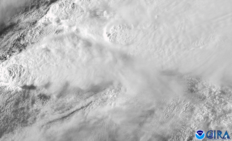
While collecting SRSO-R imagery in preparation for GOES-16's advanced capabilities, GOES-14 has seen some incredible…
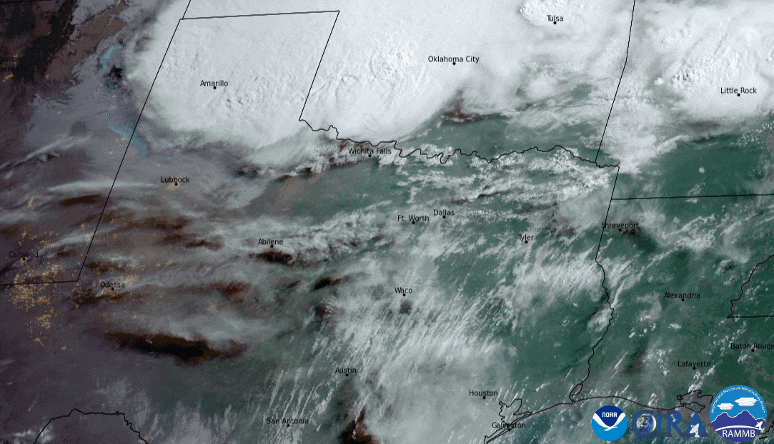
A spring storm system that produced severe thunderstorms across Oklahoma, Texas, and Louisiana on April 22, 2020.