
Search
Showing 1 - 8 of 627 results
This live hurricane tracker hurricane map, with data from the National Hurricane Center, provides past and current hurricane…

Hurricane Rita was the 4th most intense Atlantic hurricane and most intense in the Gulf of Mexico
Hurricane Beryl, the first hurricane of the 2024 Atlantic hurricane season, rapidly strengthened to a Category 5 storm…

Hurricane Andrew's Category 5 impact to the U.S. joins ranks with the 1935 Labor Day storm and 1969's Hurricane…
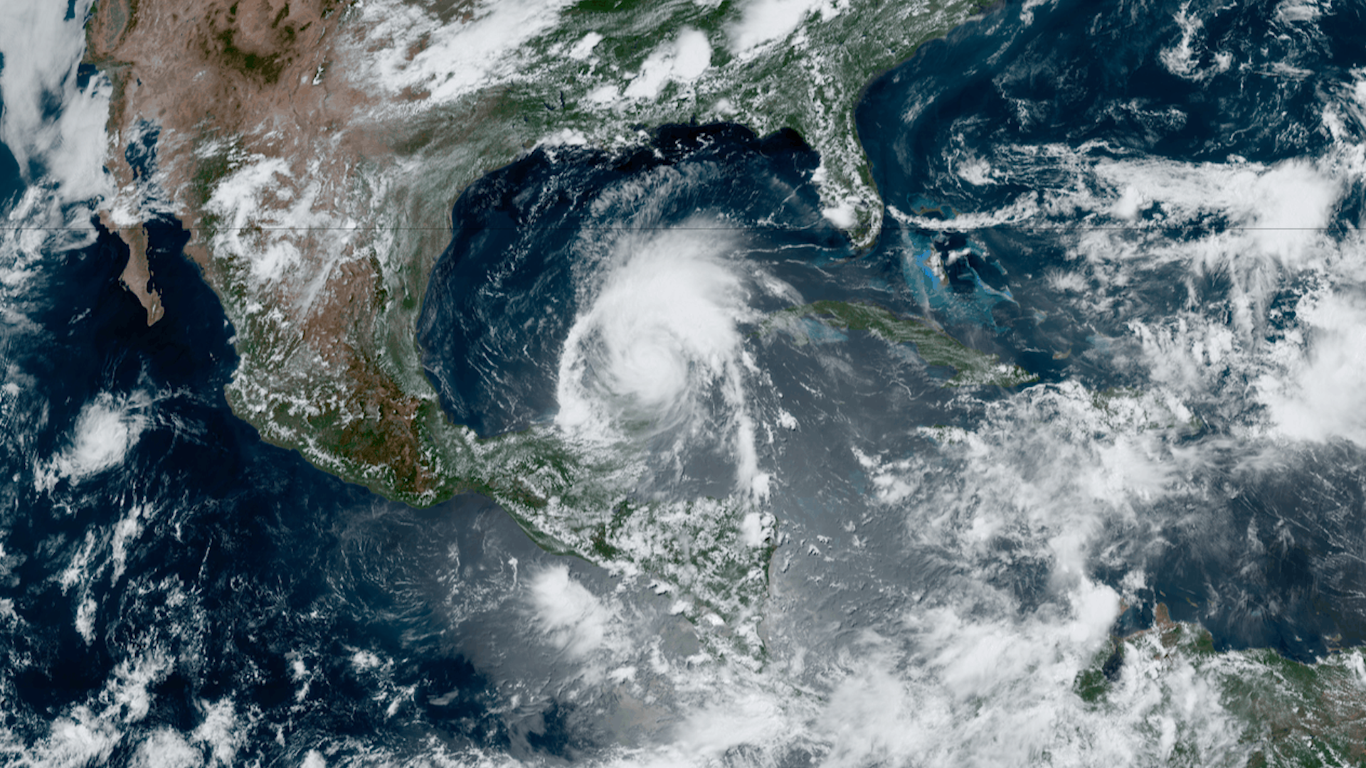
This is a collection of hurricane imagery from past years hurricane season.
NOAA’s geostationary and polar-orbiting satellites provide vital information for monitoring and forecasting hurricanes and…


Hurricane Floyd was the first major storm visualized by NOAA's Environmental Visualization Laboratory