Numerical Weather Prediction & Critical Weather Applications Initiative
Beyond the Seventh Day
Numerical weather prediction uses mathematical models of the atmosphere and oceans based on satellite data and ground observations to estimate what the weather will look like in the future. Numerical weather prediction generates your six-day forecast and even, as a secondary benefit, helps scientists better understand what Earth’s changing climate might look like decades from now.
A Satellite's Role in More Accurate Weather Predictions
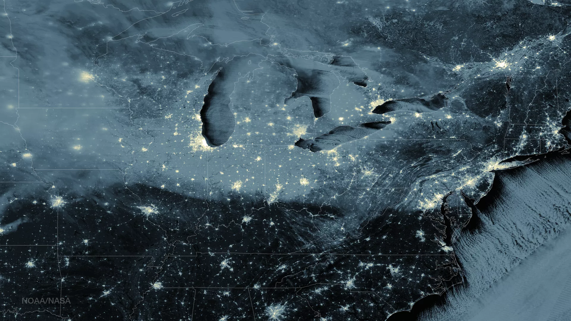
Did you know polar-orbiting satellites provide 85 percent of the data used in numerical weather prediction? The Numerical Weather Prediction & Critical Weather Applications Initiative helps assimilate instrument data from the JPSS fleet of satellites into numerical models, improving the accuracy of weather predictions. This means that the forecast of a snowstorm in six days, for example, would be much more likely to come true with data from these next-generation polar satellites. The initiative also helps meteorologists offer better insights into the weather and climate beyond the sixth day.
Improved 3-7 day forecasts enable better local emergency management decision-making, disaster relief planning, and even pre-positioning of needed assets like power and utility trucks to fix downed power lines.

The Cross-track Infrared Sounder
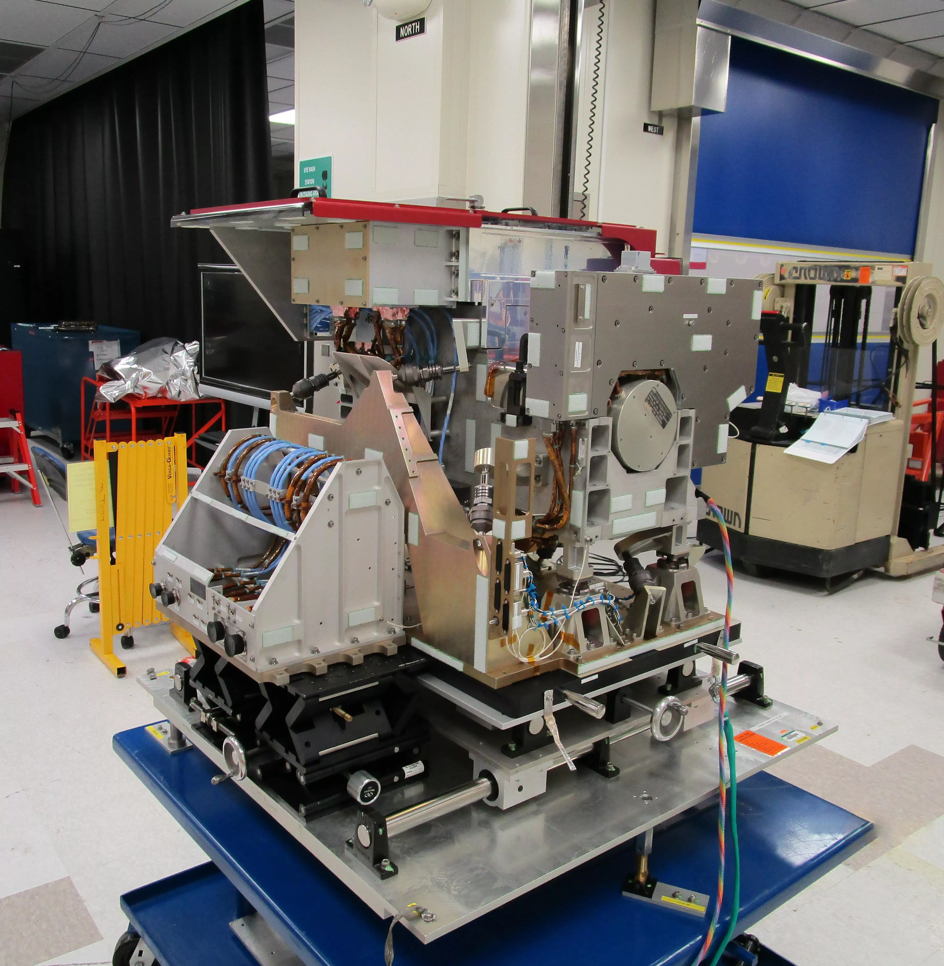
Data from satellite-based sounders are of particular importance to numerical weather prediction. On NOAA-20 and Suomi-NPP, the Cross-track Infrared Sounder (CrIS) offers accurate, detailed atmospheric temperature and moisture observations for weather and climate applications. Together with other sounders on these satellites, CrIS can construct global, high-resolution and three-dimensional atmospheric temperature, pressure, and moisture profiles. CrIS also offers insight into greenhouse gases in the atmosphere, enhancing scientists’ understanding of climate change.
The Cross-track Infrared Sounder (CrIS) instrument is the first in a series of advanced operational sounders that provides more accurate, detailed atmospheric temperature and moisture observations for weather and climate applications.
Models with Contributions From This Initiative
- Satellite Assimilation for Tropical storm (SDAT)
- Rapid Refresh/High-Resolution Rapid Refresh (RAP/HRRR)
JPSS Imagery is available through the NOAA View website, an interactive software portal to visualize NOAA’s weather and environmental satellite data. More information is available about how to download this data.


