
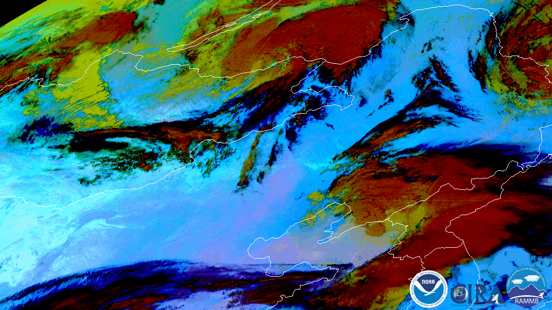
On June 2, 2020, the Himawari-8 satellite watched a swirling low pressure storm system kick up dust and sand (shown above as bright pink) from the Gobi Desert in Mongolia, blowing the fine airborne particles into China.
This particular image loop shows the storm and the resulting dust cloud via Dust RGB. This type of imagery product was originally developed by EUMETSAT for the MeteoSat Second Generation (MSG) SEVIRI imager and was later applied to the Japan Meteorological Agency’s Advanced Himawari Imager (AHI) on the Himawari-8 satellite. Now, the Advanced Baseline Imagers (ABI) on the GOES satellites also have the same capabilities.
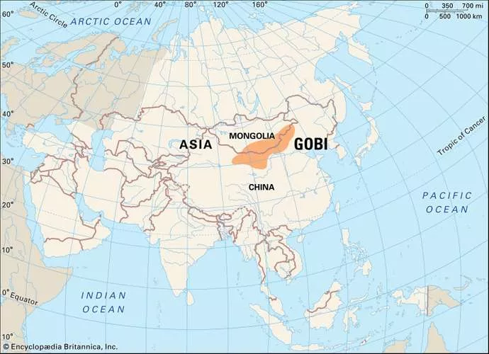
This map shows the vast area that makes up the Gobi Desert (orange). Credit: Encyclopædia Britannica, Inc.
Since dust tends to be generally difficult to see in visible and infrared imagery due to being relatively transparent or similar to certain types of clouds, this product uses several infrared-based channels to differentiate the dust from the clouds. See how easily the pink dust stands out, compared to dust in a TrueColor or GeoColor image, such as the one below, which shows the same spot.
Both satellite images were captured by the Advanced Himawari Imager (AHI) on Japan’s Himawari-8 satellite. This satellite, the first unit of the Japan Meteorological Agency's (JMA) third-generation of geostationary satellites, provides visible light and infrared images of the Asia-Pacific region. Himawari's data are vital for global geostationary coverage, which is why NOAA and JMA have agreed to mutual back-up arrangements for their geostationary systems.