

Photo courtesy of U. S. Coast Guard
NOAA Satellites Save Lives
The U.S. Coast Guard assists a boater in distress at sea. In addition to monitoring Earth’s weather and environment 24/7, NOAA satellites also detect and relay distress signals from emergency beacons to the appropriate search and rescue authorities. Since its inception in 1982, NOAA's Search and Rescue Satellite Aided Tracking (SARSAT) has saved over 10,000 lives.
Michael "Mickey" Fitzmaurice, NOAA/NESDIS Satellite Systems Engineer, US SARSAT program
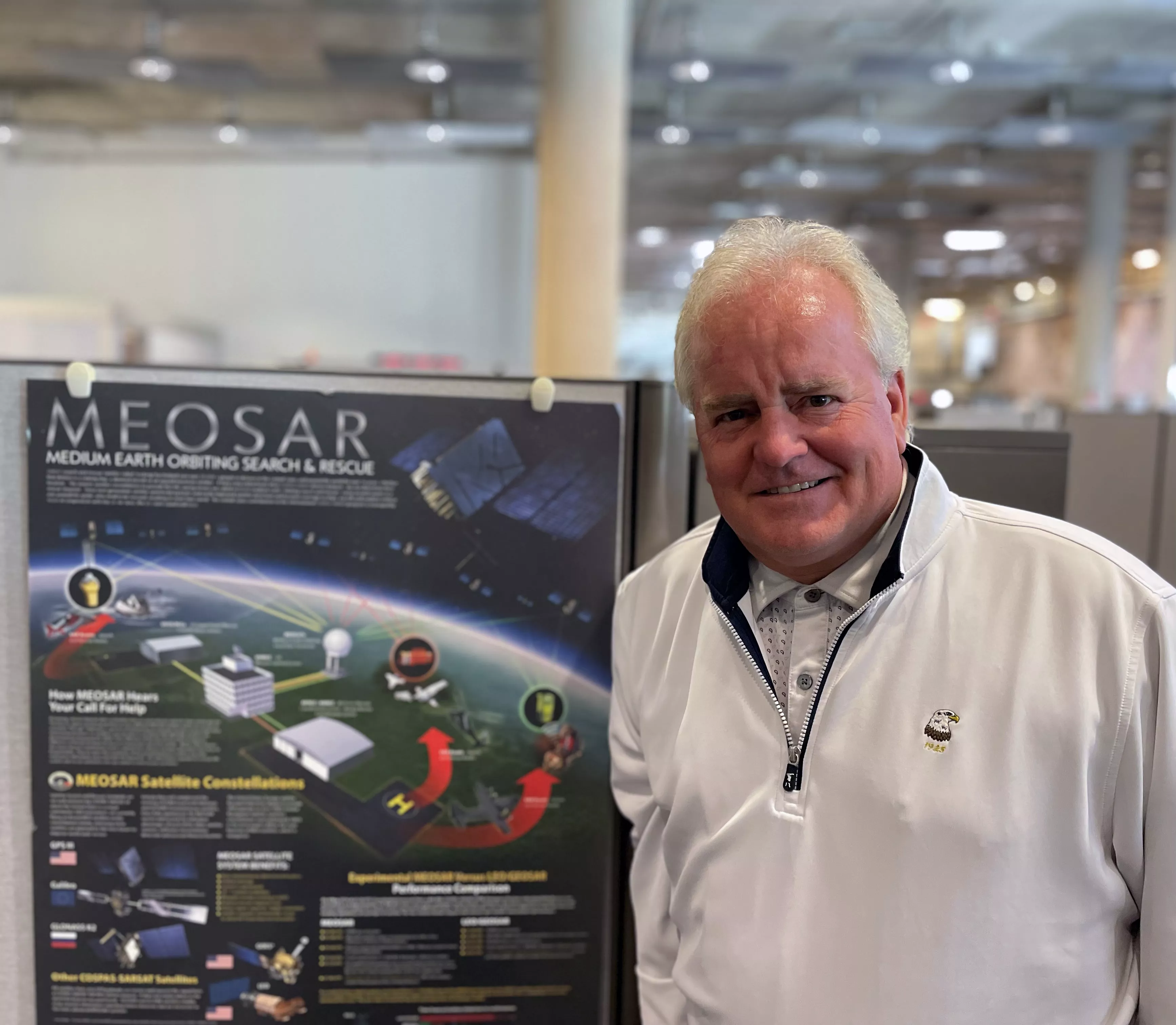
"The geolocation tools we rely on every day are supported by international satellite-assisted partnerships like the Cospas-Sarsat program to which NOAA’s Search and Rescue Satellite Aided Tracking (SARSAT) program contributes 24/7. For aviators, mariners, and land-based beacon users, NOAA’s satellites are essential to survival. The program provides real-time distress alerts and accurate location information to search and rescue authorities in more than 200 countries and territories."