
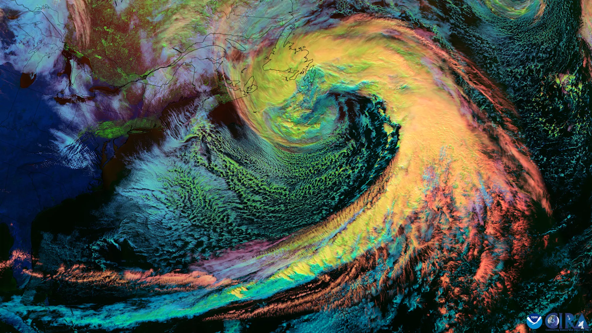
A Nor’easter Swirls off the Coast of New England
Nor'easters are storms that form along the East Coast of North America and can bring dangerous wind, snow, rain and flooding. NOAA’s GOES-East satellite monitors this region continuously and takes detailed images and measurements of these severe storms. This provides minute-by-minute updates of a nor'easter's progress to people in the storm’s path. This image from Feb 14, 2024 depicts the cloud properties of the storm.
Janae Elkins,Emergency Response Meteorologist/Specialist, NWS National Operations Center.

"As an Emergency Response Meteorologist in the National Weather Service (NWS) Operations Center, I act as a critical liaison between Regional Operation Centers, National Centers, various stakeholders, and NWS senior leadership. I coordinate and collaborate with these centers during daily and significant weather events, and prepare and provide briefings to keep NWS senior leaders informed about high-impact severe weather. A significant portion of my role involves oral and written communication, as well as fostering effective relationships with internal and external partners."