
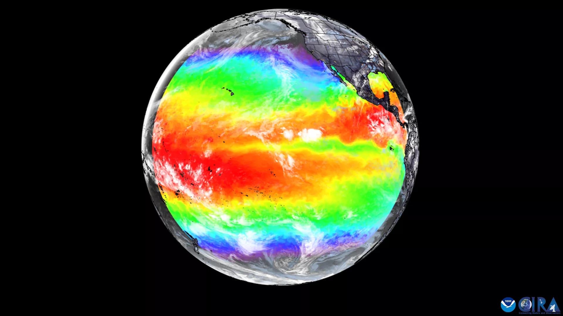
Full Disk Image Over the Pacific Ocean
NOAA satellites constantly monitor the Earth’s atmosphere and ocean. This image from GOES West over the Pacific Ocean shows cloud cover and ocean temperature.
Felix Castro, Warning Coordination Meteorologist, NOAA/NWS San Joaquin Valley/Hanford, CA
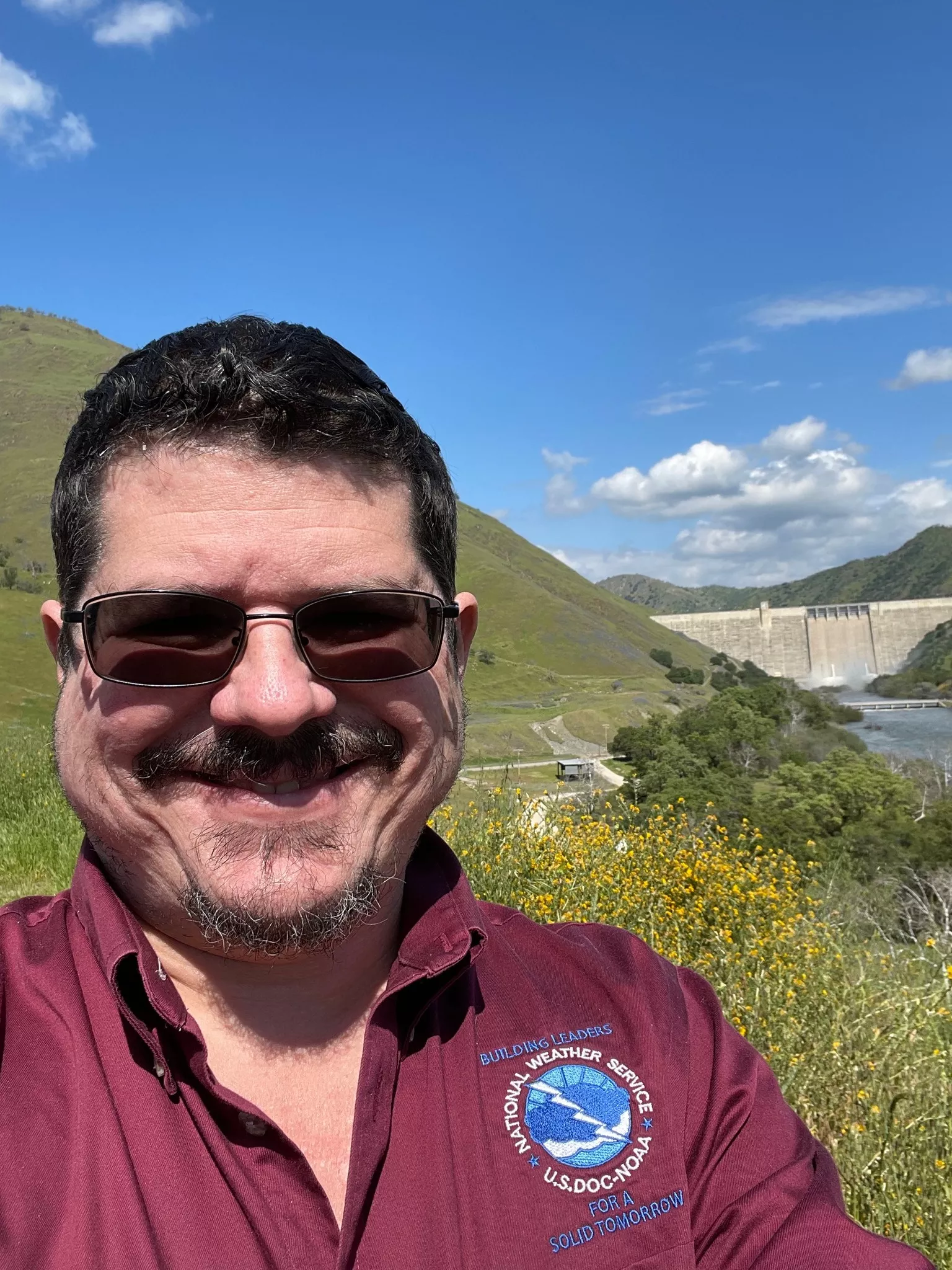
"Satellite images are a powerful tool we use to gather information not only for the weather forecasts that you see on TV or read on your mobile phone, but they also help us understand other weather phenomena, such as fire behavior, tropical cyclones and frontal boundaries. Engaging with our community to inform them about the weather, help them make timely decisions, and keep them safe is the most rewarding part of my job."