Hydrology Initiative
Water, Water Everywhere...
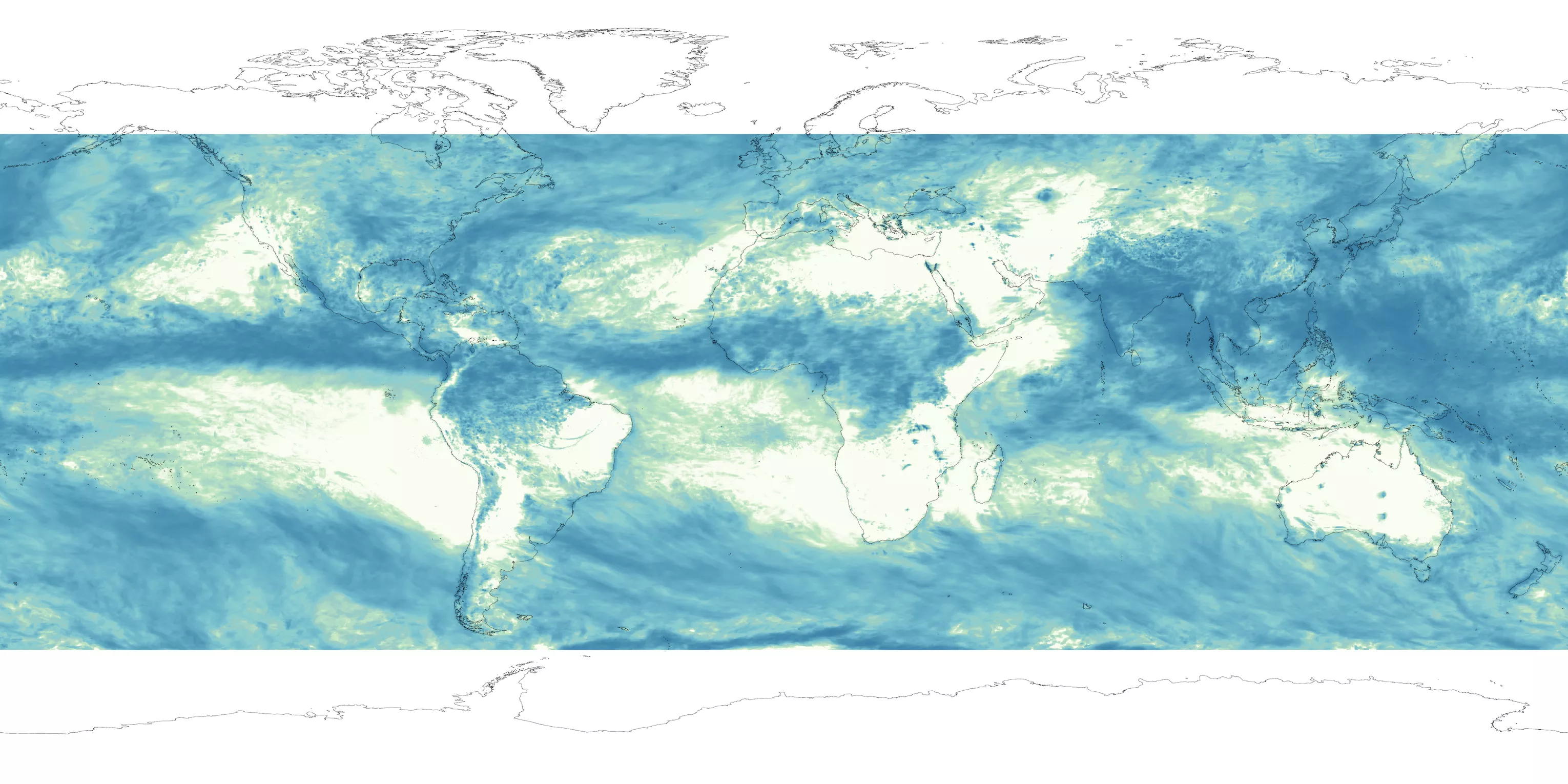
Water takes many forms – rain and snow, moisture in soil or clouds. JPSS program satellites monitor all types of water globally through weather satellite data. The Hydrology Initiative seeks to best utilize these insights.
As part of the Hydrology Initiative, developers and users have been able to create products like a snowfall rate algorithm using the ATMS instrument's data, which enables both snowfall detection and snowfall rate estimation. The snowfall rate product helps fill gaps in radar detection in areas that have few observations. The product also enabled global blended precipitation analyses like NOAA CMORPH to include satellite-based winter precipitation estimates. The CMORPH precipitation analysis, as well as other precipitation-related products, were also improved through the Hydrology Initiative.
The Hydrology Initiative relies primarily on satellite microwave sensors, which collect information about water in the atmosphere. On JPSS Satellites, Advanced Technology Microwave Sounders (ATMS) provide this data, but the initiative also incorporates data from NASA’s Global Precipitation Measurement (GPM) mission and other Earth-observing satellites, giving scientists a fuller picture of Earth’s water systems.
Access Hydrology Initiative Data Products
- https://www.star.nesdis.noaa.gov/jpss/EDRs/index.php
- https://tropic.ssec.wisc.edu/real-time/mtpw2/product.php
- http://cat.cira.colostate.edu/sport/layered/advected/lpw.htm
JPSS Imagery is available through the NOAA View website, an interactive software portal to visualize NOAA’s weather and environmental satellite data. You can also access more information about how to download this data.
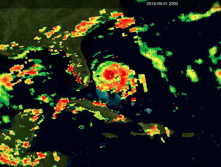
Image: NOAA satellites captured this animation showing the rain rate from Hurricane Dorian on Sept. 1, 2019.