
Hurricanes & Tropical Storms Initiative
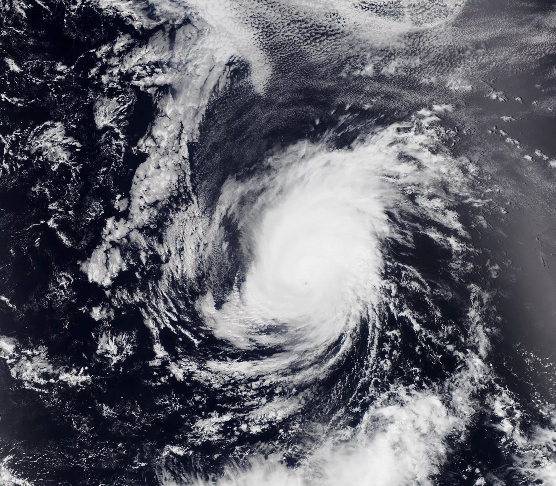
In September 2017, Hurricane Maria made landfall in Puerto Rico. The Category 5 hurricane devastated the island, causing loss of life, property and critical infrastructure like the power grid. The island is still recovering from the damage.
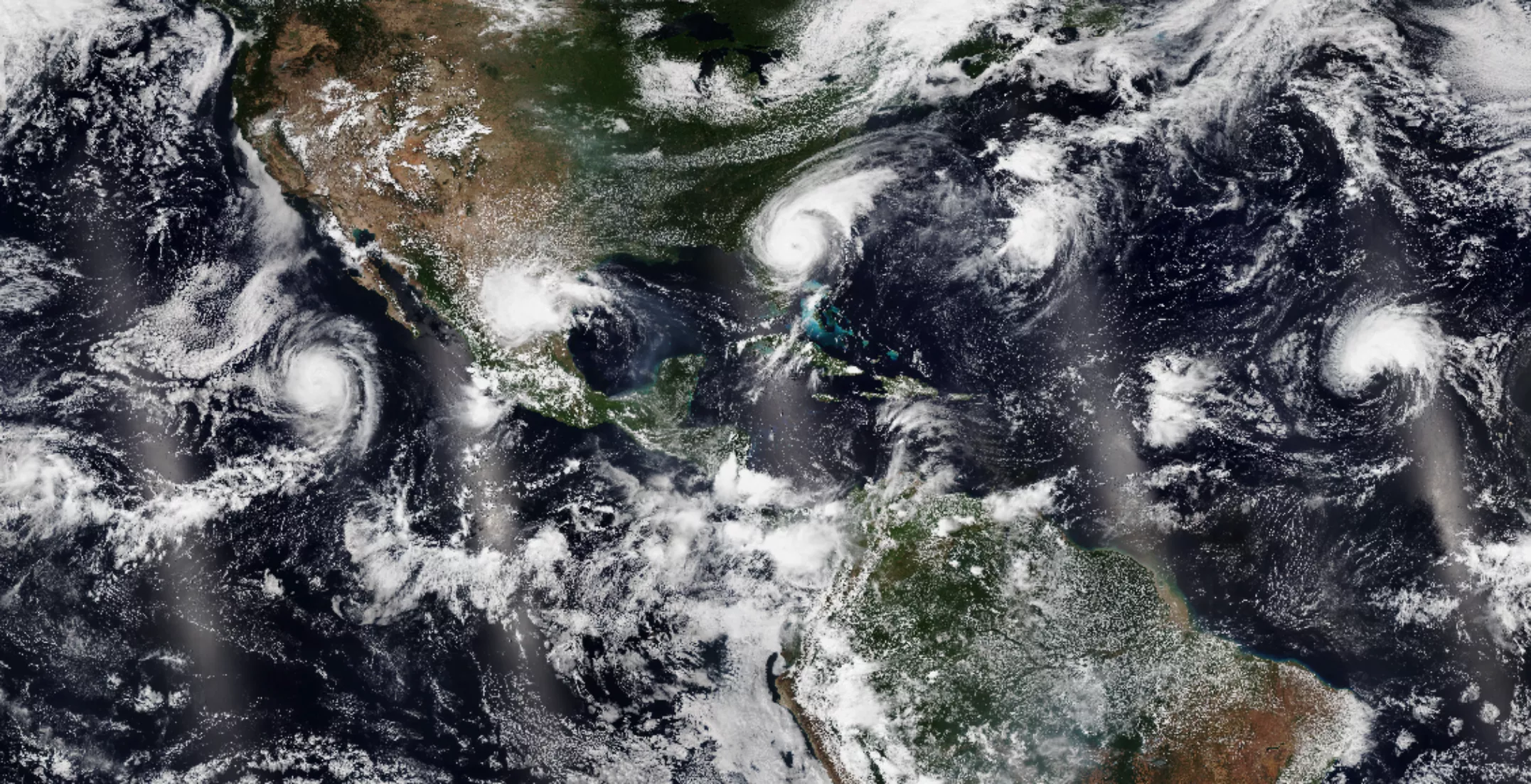
NOAA-20 captured this image of a series of tropical cyclones across the Atlantic in early September 2019.
Safeguarding Coastal Communities
Hurricanes are a type of tropical cyclone that form over tropical waters in the Atlantic Ocean. When a cyclone's winds exceed 74 miles per hour, it is officially designated a hurricane and given a name.
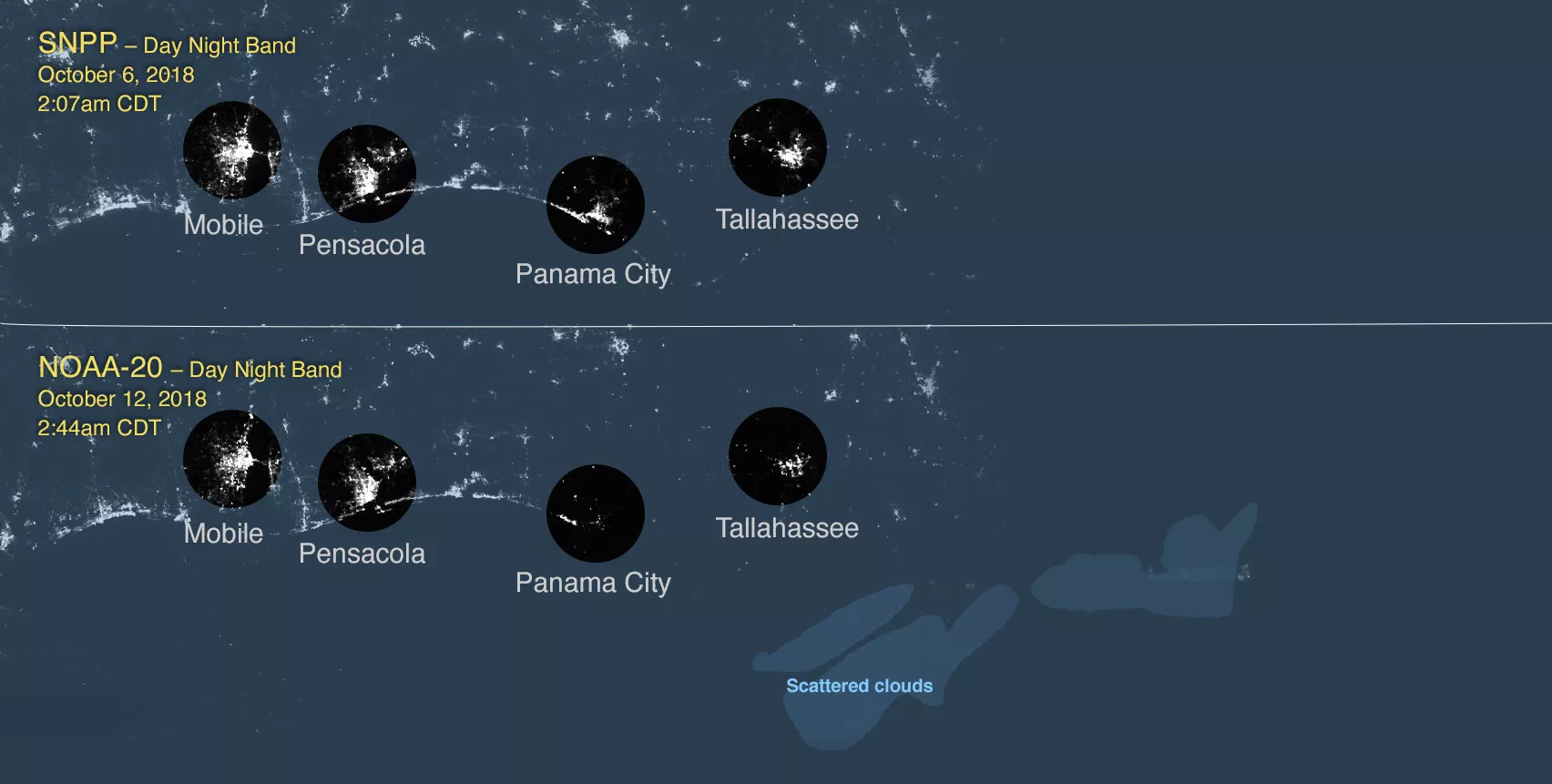
The NOAA-20 satellite's Day-Night Band showed power outages after Hurricane Michael in October 2018.
Informed Weather Predictions
These swirling masses of thunderstorms occur, on average, 12 times per year. As Earth's climate warms, they may occur even more, endangering Caribbean islands and the Eastern seaboard with increasing frequency. To ensure the safety of these coastal communities, hurricanes must be studied and understood. Early warning of these storms can aid evacuation and preparedness efforts, saving lives and property.
The Hurricanes & Tropical Storms Initiative connects scientists and meteorologists with data products derived from JPSS satellites pertinent to tropical cyclones. In turn, weather experts share their predictions and expertise with the public, ensuring that individuals and communities on the coast can make informed decisions when facing severe weather events.
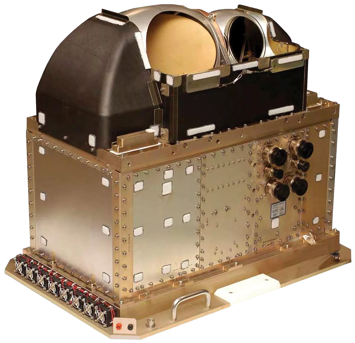
JPSS Advanced Technology Microwave Sounder
This initiative relies on insights provided by the JPSS sounders, which take measurements of atmospheric moisture, and visible observations that show the structure and breadth of hurricanes. By combining data from JPSS satellite instruments with ground-based observations and weather models, meteorologists can better predict the strength and path of these storms.
Hurricanes & Tropical Storms Initiative Data Products
JPSS Imagery is available through the NOAA View website, an interactive software portal to visualize NOAA’s weather and environmental satellite data. There is more information available about how to download this data.