Meet the Users is a NESDIS User Engagement speaker series which invites end users in society to share their thematic uses of NOAA data, products and services. This series is an opportunity to bring awareness to the opportunities, benefits, and impact NOAA data has in society.
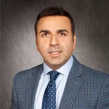
Dr. Ross Nazari (University of Alabama at Birmingham) assesses United States coastal communities’ vulnerabilities due to sea level rise and uses advanced flood modeling to consider how to improve conditions in flood-vulnerable areas. As the Director of the Sustainable Smart Cities Research Center (SSCR) at the University of Alabama at Birmingham’s School of Engineering, Dr. Nazari’s research focuses on applying remote sensing and flood modeling to water resources and the environment, resiliency planning, community vulnerability and public health, and impact assessment of extreme weather events on the built environment.
Dr. Nazari will discuss the implementation of National Oceanic and Atmospheric Administration (NOAA) and National Aeronautics and Space Administration (NASA) data, including National Weather Service (NWS) data, Low Earth Orbit (LEO) and Geostationary (GEO) data, and the Digital Surface Model aids in developing maps, policies, and research for floods, vulnerable communities, damage assessments, sea level rise. His work directly responds to New York’s and New Jersey’s resiliency planning needs following Hurricane Sandy and redefines how impacted communities can plan for emergencies and resilient rebuilding.
To learn more about how Dr. Nazari and the University of Alabama Birmingham are working towards the Pathfinder Initiative, please contact noaa.pathfinderinitiative@noaa.gov.
