Sponsored by the AMS Committee on Satellite Meteorology, Oceanography, and Climatology
The American Meteorological Society (AMS) Committee on Satellite Meteorology, Oceanography, and Climatology is pleased to offer a virtual short course titled “NOAA Environmental Satellite Enterprise: Applications and Opportunities” in June 2023. This short course will consist of four 2-hour training sessions described below. The training sessions are scheduled for 1:00 PM to 3:00 PM ET on June 20, 22, 27, and 29.
Three training sessions will provide hands-on experience for applying environmental satellite data products to a range of environmental conditions encountered in both operations and research. The fourth training session will provide an opportunity to hear personal experiences about the career pathways of several professionals employed in different parts of the environmental satellite enterprise. Certificates of completion will be issued to students who participate in a minimum of 3 training sessions and the participation in each session must exceed one hour. The short course is primarily designed for undergraduate and graduate college students but others who are changing careers or moving to a position requiring increased environmental satellite knowledge will benefit from the course.
Registration for the short course is available.
Update: The June 20th Training session has been canceled.
Monitoring global lakes and reservoirs using multi-satellite observations
Session Description
Although lakes and reservoirs are essential components of water management and the hydrological cycle, there is a lack of consistent and continuous global data on terms such as storage and evaporation. In this session, we will introduce the current capacity to monitor these water bodies from space through multi-satellite observations. Using the MODIS/VIIRS Global Water Reservoir product suite as an example, we will explain the algorithm's theoretical basis, the data products and their applications (e.g., drought monitoring).
Instructors
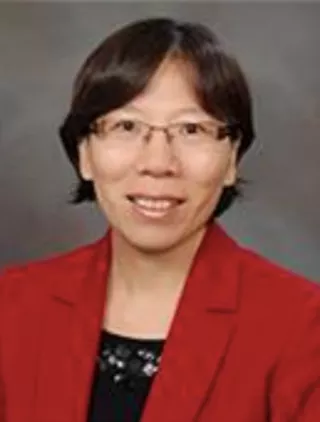
Huilin Gao, Associate Professor, Texas A&M University
Dr. Huilin Gao is an associate professor in Civil Engineering at Texas A&M University. She received her Ph.D. degree in water resources engineering from Princeton University. Dr. Gao’s primary research interests are hydrologic modeling, land cover land use change, water resources management, and satellite remote sensing in hydrology. Her research on remote sensing has been focused on using multi-satellite observations (e.g., MODIS/VIIRS, Landsat, ICESat-2) to monitor storage variations and evaporation losses over global lakes and reservoirs. Dr. Gao is the Deputy Chair of the AGU Hydrology-Remote Sensing Technical Committee. She is also a member of NASA’s MODIS and VIIRS science teams. She has published broadly in high impact journals, such as Nature Communications, Remote Sensing of Environment, and Water Resources Research.
Contact Information:
Phone: 979.845.2875
Email: hgao@civil.tamu.edu

Deep Shah, Zachry Department of Civil and Environmental Engineering at Texas A&M University
Deep Shah is a Ph.D. student in the Zachry Department of Civil and Environmental Engineering at Texas A&M University. His research seeks to view water resource challenges through the lens of reservoir-based hydrological drought monitoring and to explore the impacts of climate change and human activities on freshwater availability.
Contact Information
Phone: 979-721-1212
Email: deep.shah@tamu.edu
Monitoring and Predicting the Opening of the Northwest Passage
Session Description
The area covered by Arctic sea ice during the summer months has declined dramatically over the last few decades. In 2016, the cruise ship Crystal Serenity successfully traversed the Northwest Passage. If the decreasing trend in sea ice cover continues, we can expect more commercial activity in the Arctic Ocean in the coming years. Can we use satellite data to monitor ice conditions in and around the NW Passage? Better yet, can we use satellite-derived information about sea ice with numerical weather prediction models to forecast conditions in the Passage weeks in advance? This session will address these questions through hands-on work with satellite-derived ice products in years where the Passage was open and years when it was impassable. We will utilize the knowledge gained from the exercise to speculate on what conditions might be this coming summer.
Instructors
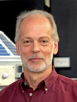
Jeff Key, Advanced Satellite Products Branch in the Center for Satellite Applications and Research (STAR), NOAA/NESDIS
Dr. Jeff Key is the Chief of the Advanced Satellite Products Branch in the Center for Satellite Applications and Research (STAR), NOAA/NESDIS, located at the University of Wisconsin-Madison in the Cooperative Institute for Meteorological Satellite Studies. His research focuses on developing innovative methods to observe the polar regions from space, improving our understanding of polar climates, and expanding cryospheric observations internationally. Jeff has served on a variety of international panels, and currently leads the Cryosphere and Polar Observations Team of the World Meteorological Organization’s Global Cryosphere Watch.
Contact Information
Phone: 608-263-2605
Email: jeff.key@noaa.go
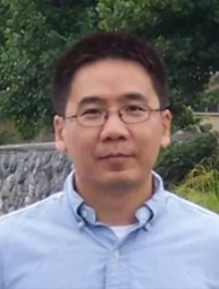
Yinghui Liu, Advanced Satellite Products Branch in the Center for Satellite Applications and Research (STAR), NOAA/NESDIS
Dr. Yinghui Liu is a cryospheric scientist in the Advanced Satellite Products Branch in the Center for Satellite Applications and Research (STAR), NOAA/NESDIS, located at the University of Wisconsin-Madison in the Cooperative Institute for Meteorological Satellite Studies. His current work focuses on developing operational satellite snow and ice products, and their validation/calibration and applications. He is also interested in the atmosphere-cloud-sea ice-ocean interactions in the polar regions.
Contact Information
Phone: 608-263-2605
Email: yinghui.liu@noaa.gov
Unique Career Pathways Working with Satellites and Their Observations across Various Disciplines
Session Description
This seminar will provide insight on the extensive variety of job opportunities available in the fields associated with satellite data and products and where to look for them. Opportunities include building the satellite and instruments, coding the satellite data to create products and images, analyzing the data to preserve life and commerce across all earth observations such as weather, climate, air quality, rainfall, flooding, landslides, tsunamis, volcanic ash, hurricanes, harmful algal blooms, etc. Staff will describe their career path to working with satellite data.
Instructors

Joseph Patton, University of Maryland-College Park/CISESS
Joseph Patton is an assistant research scientist with the Cooperative Institute for Satellite Earth System Science (CISESS) at the University of Maryland-College Park. Joseph spent two years working as an operational meteorologist for the National Weather Service in Goodland, Kansas before joining the CISESS team to focus on lightning research and training for forecasters. Joseph has a B.S. in meteorology from the University of Oklahoma and an M.S. in meteorology from Florida State University. His published master's thesis entailed working with NASA forecasters at Kennedy Space Center/Cape Canaveral Air Force Station to develop an operational technique to forecast lightning cessation in decaying thunderstorms.
Contact Information
Phone: 225-810-8352
Email: joseph.ray.patton@gmail.com
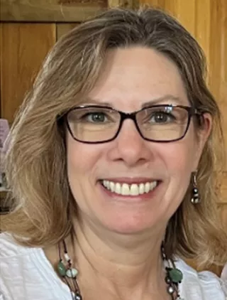
Sherrie Morris, Science & Technology Corporation (STC) at NOAA/NESDIS/GOES-R Program
Sherrie Secunda Morris is the GOES-R Series Satellite Training Coordinator & User Liaison contractor for the GOES-R Product Readiness and Operations (PRO) Team inside the NOAA/NESDIS/GEO Ground Project. Sherrie develops, plans, organizes and implements technical meetings, satellite training courses, NOAA/WMO international workshops, and webinars to increase the use of GOES-R-series and other satellite data and products through these training sessions. Her Master’s degree is in Marine Biology and she now enjoys applying oceanography knowledge to satellite data analyses and training users in the numerous ways to access, analyze and apply satellite data and products.
Contact Information
Phone: 703-282-6476
Email: sherrie.morris@noaa.gov
