The National Oceanic and Atmospheric Administration (NOAA) has a rich history of successfully operating geostationary operational satellites (GOES) and polar-orbiting environmental satellites (POES).
For more than 50 years, the organization’s satellite program has been indispensable for life-saving weather and climate forecasts for the United States and our partners around the world. However, these satellites have also evolved to gather environmental data used for a wide array of applications pertaining to the oceans, coastal regions, agriculture, the atmosphere, fires and volcanic ash, as well as the space environment.
See how they have advanced over the years to help us better understand our dynamic planet.
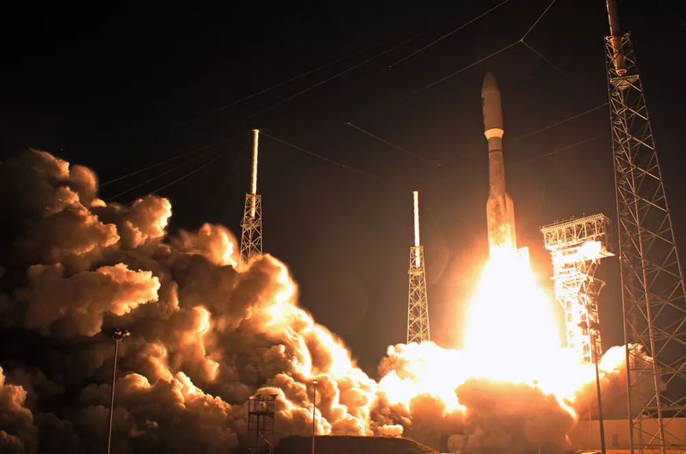
The launch of GOES-R aboard an Atlas V rocket on 19 November 2016
Historic Imagery Collections
NOAA Satellites
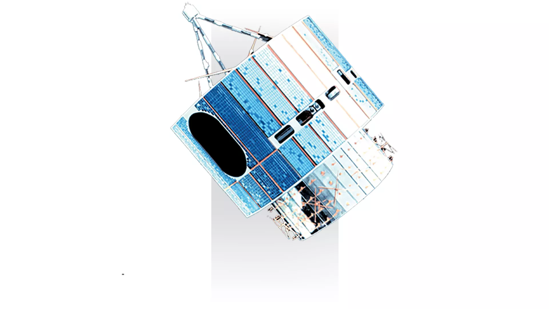
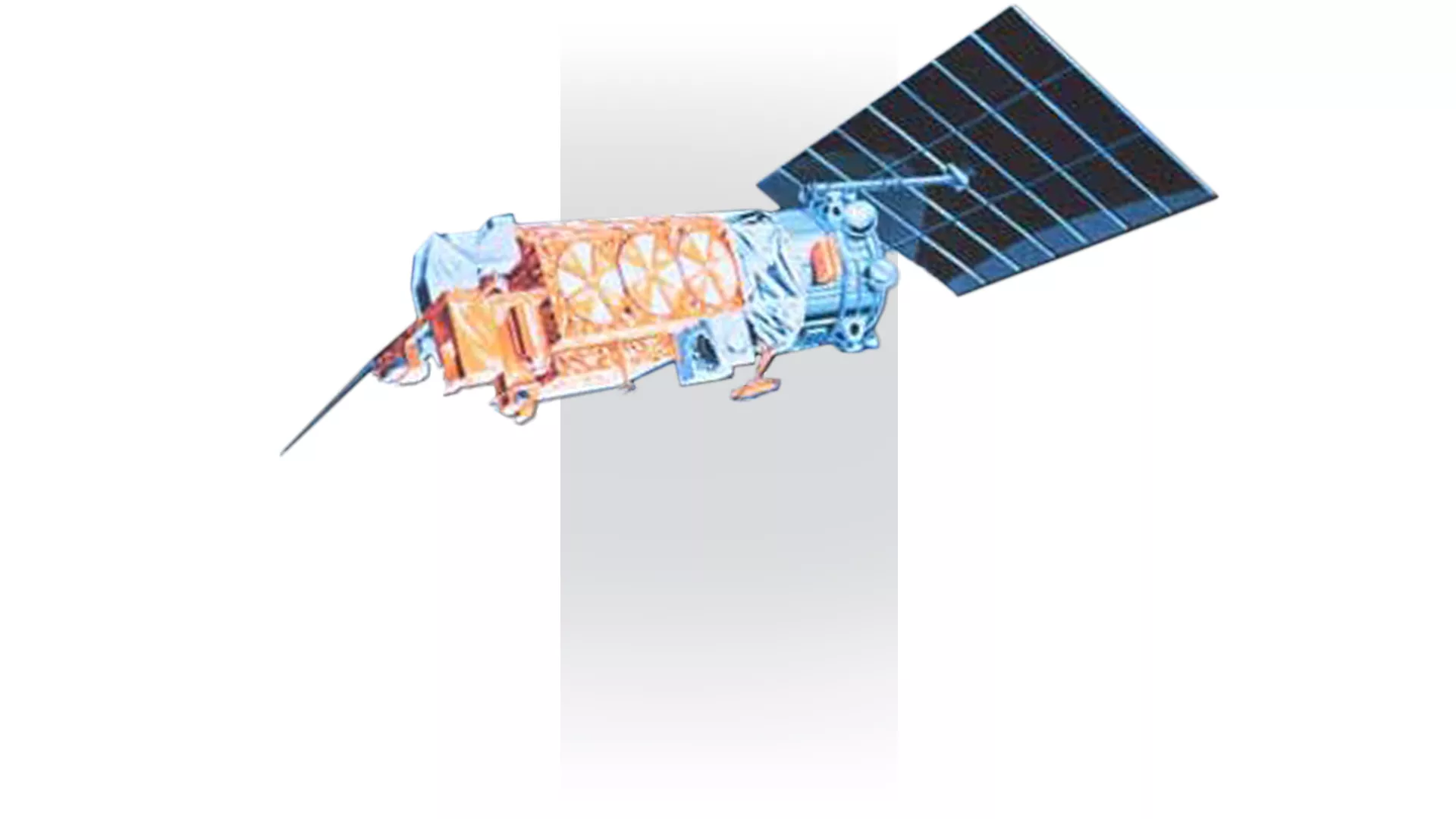
GOES A-C (GOES 1-3)
1975 - 1993
The early GOES satellites were spin-stabilized, viewing Earth only about ten percent of the time, as opposed to the constant Earth monitoring our modern satellites provide. Although these satellites did possess an infrared channel to view clouds at night, they could not provide any indication of cloud thickness, moisture content, or any information pertaining to the various vertical layers of the atmosphere.
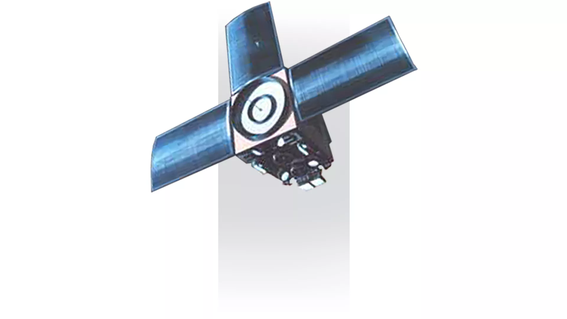
NOAA 1-5 (ITOS A, D, F, G, H)
1970 - 1979
NOAA 1–5 were a series of reconfigured sun-synchronous ITOS (Improved TIROS Operational Satellite) satellites with improved meteorological sensors that were launched between 1970 and 1976 and operated by NOAA. These satellites were the first to rely solely on radiometric imaging to obtain cloud cover data, and were also able to supply global atmospheric temperature soundings and very high resolution infrared cloud cover data for specified areas. They also aimed to obtain global solar-proton flux data.
NOAA 6-7
1979 - 1987
NOAA-6 and NOAA-7 were part of the third generation of NOAA’s low Earth-orbiting Polar Operational Environmental Satellites (POES). In addition to making regular meteorological observations, they monitored various aspects of the environment, such as ice and snow cover, agriculture, ozone, the surrounding space environment, and more. NOAA-7 was deactivated in 1986.
NOAA 8-14
1983 - 2007
NOAA-8 through NOAA-14 were part of the Advanced TIROS-N (ATN) series and the fourth generation of NOAA’s low-earth Polar Operational Environmental Satellites (POES). They were improved versions of the previous TIROS-N series, and contained an upgraded instrument suite. They operated between 1983 and 2007.
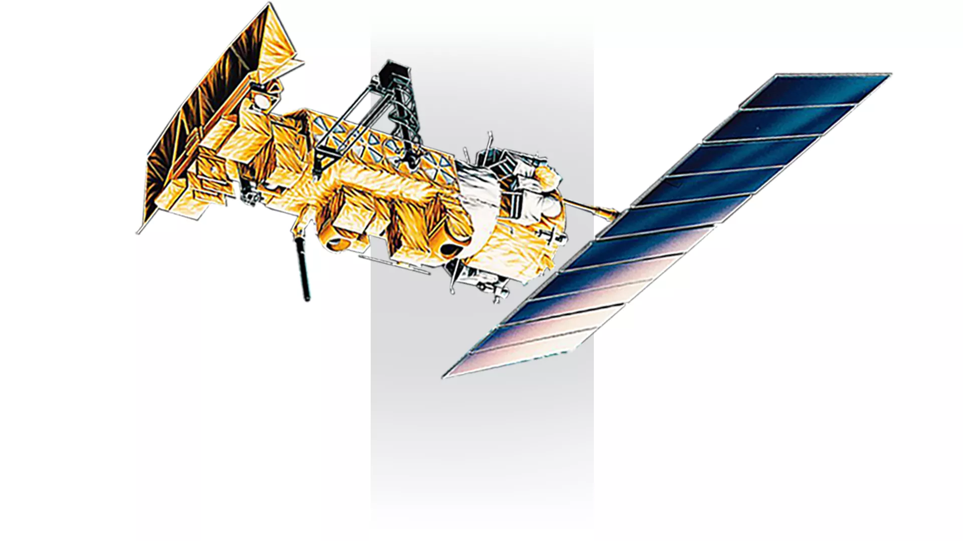
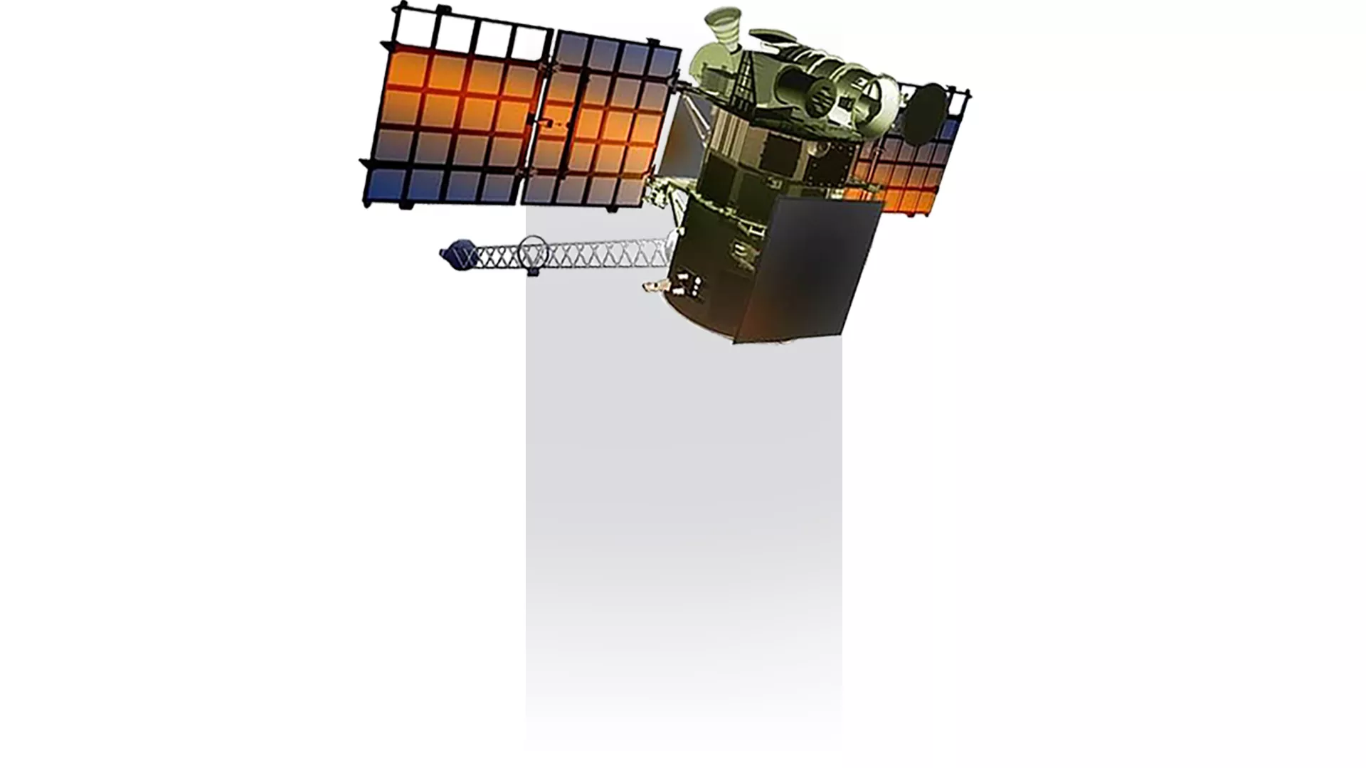
GOES D-H (4-7)
1980 - 1996
While still spin-stabilized, these GOES satellites had the capability to obtain vertical profiles of temperature and moisture throughout the various layers of the atmosphere. This added dimension gave forecasters a more accurate picture of the intensity and extent of storms, and allowed them to better monitor rapidly changing events and make more accurate predictions. However, as with the previous satellites, the imager and sounder still shared the same optics system, which meant the instruments had to take turns.
Fun fact: GOES-7 was the only satellite in the history of NOAA’s geostationary satellite program to serve as both the GOES East and GOES West spacecraft in the course of normal operations after its predecessor, GOES-6, failed. GOES-7 thus served as the sole geostationary spacecraft from 1989 to 1994. During this time, it was moved from the GOES West position in the winter—where it covered part of the Pacific Ocean and the west coast of North America—to the GOES East position in the summer and fall, where it watched the East Coast during hurricane season.
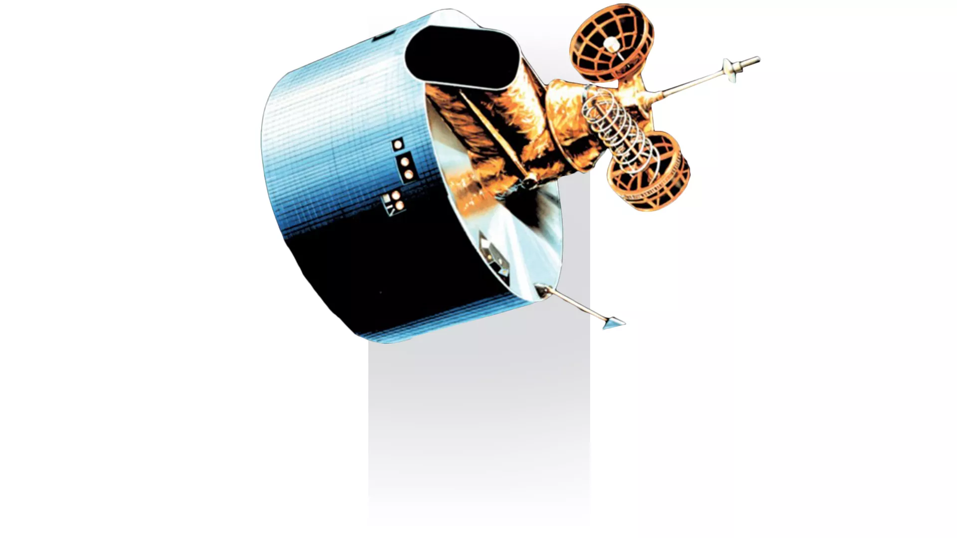
GOES I-M (8-12)
1994 - 2013
GOES-I, launched in 1994, brought significant improvement in the resolution, quantity, and continuity of the data it collected thanks to a new three-axis method of stabilization for the spacecraft and separate optics for imaging and sounding. Three-axis stabilization meant that the imager and sounder could work simultaneously, which gave forecasters more accurate information to pinpoint locations of storms and other dangerous weather events.
The satellites could also temporarily suspend their routine scans of the hemisphere to concentrate on a small area of quickly evolving events to improve short-term weather forecasts.
NOAA 15-19 (K-O)
1998 - Present
A part of the TIROS series of satellites provided by NASA, NOAA-15 was launched by NOAA in May 1998 with an original operational time of two years. However, the unit, as of 2018, was still fully operational and was a well-known delivery point for civilian receiving stations. Its operational issues came from a reported loss of lubricant in its scan motor for the AVHRR imaging sensor. As of 2020, the NOAA-15 satellite serves as the secondary AM satellite to NOAA-20, the latest generation of POES.
NOAA-16, another TIROS series satellite, was launched on September 21, 2000. Its payload included the AMSU, AVHRR, and High Resolution Infrared Radiation Sounder (HIRS) instruments' APT transmitter, along with an SBUV/2 instrument. However, NOAA-16’s APT has been inoperable since November 2000 due to sensor degradation and was decommissioned in 2014 after a critical anomaly.
NOAA-17, a sister unit to the NOAA-16, was launched on June 24, 2002. Significant instruments aboard the satellite include AMSU, AVHRR, and HRIS. After 11 years of collecting imaging, moisture, and atmospheric data, the satellite was decommissioned in 2013.
Launched in 2005, the NOAA-18 satellite contained similar instruments as the NOAA-17, its contemporary that would fly around the world during the morning hours; NOAA-18 would take over for the other half of the day. Notable equipment upgrades include the COSPAS-SARSAT SARP instrument. While still operational, several instruments aboard the NOAA-18 satellite have failed, including the OAA-18 MIMU laser gyros and AVHRR imagery (while usable, has geolocation errors.) NOAA-18 changed frequencies with NOAA-19 on June 23, 2009, and is now the secondary PM satellite to supplement NOAA-20 operations.
NOAA-19, also known as NOAA-N-Prime, was launched in 2009 after suffering manufacturing mishaps in 2003 that cost the U.S. government $135 million to correct. The NOAA-19 satellite contains an advanced version of the SARP instrument (SARP-3), but not the NOAA-18’s DCS system. The AVHRR and AMSU systems were both designated for a three-year mission. As of 2020, all instruments aboard the satellite are operating at optimal conditions.
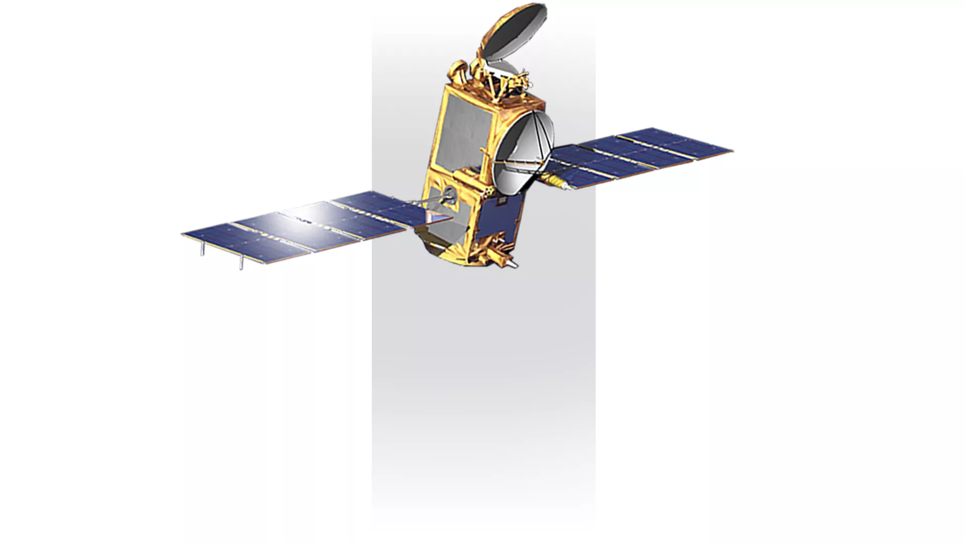
Jason 1-3
2001 - Present
Named after the ancient hero of Greek mythology and leader of the argonauts, the Jason program’s mission and satellites have helped study sea level rise, ocean circulation, and climate change. The data collected also help NOAA’s National Weather Service more accurately forecast the strength of tropical cyclones. Currently, Jason-3, launched Jan. 17, 2016, is currently active, while its predecessors, TOPEX/Poseidon, Jason-1, and Jason-2 have been decommissioned.
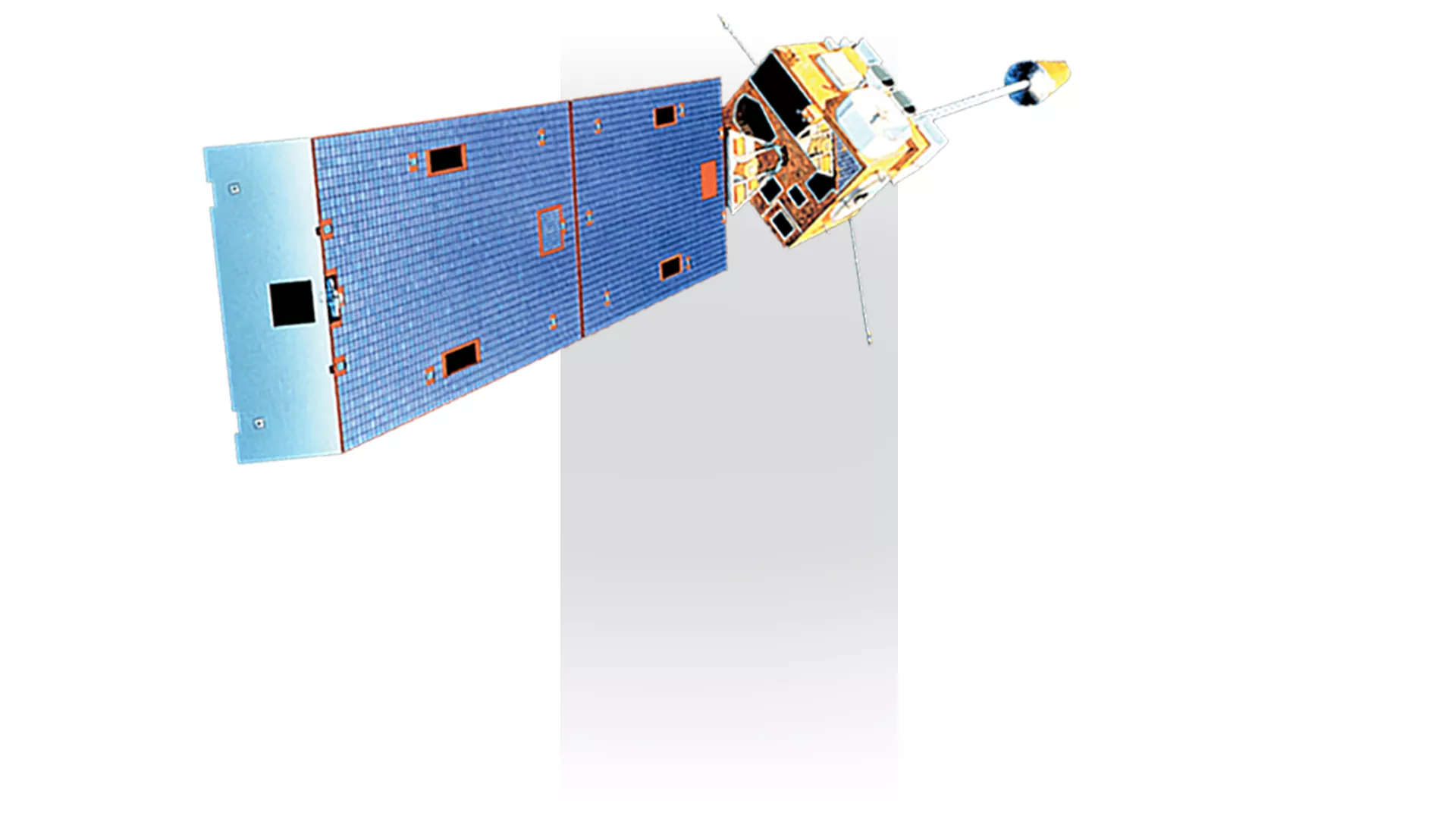
GOES N-P (13-15)
2006 - 2020
GOES-N, GOES-O, and GOES-P further improved the imager and sounder resolution via the Image Navigation and Registration subsystem, which utilized geographic landmarks and star locations to better pinpoint the locations of intense storms. This satellite series also had improved optics, better batteries, and more power, allowing for more continuous imaging. The GOES-8 through -15 series of satellites not only monitored an array of weather and atmospheric phenomena on Earth, but space weather as well.
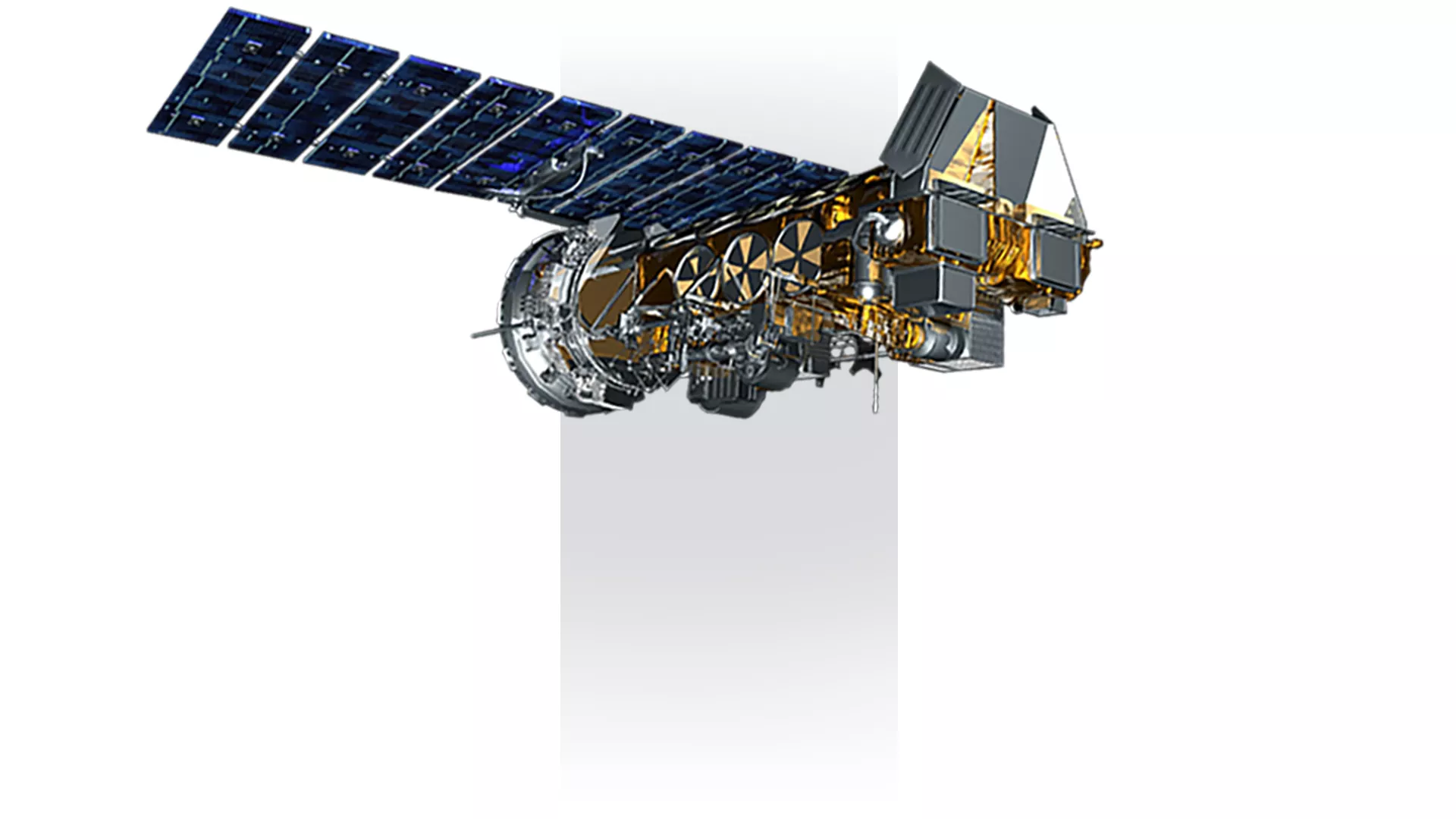
JPSS
2011 - Present
A collaborative program between NOAA and NASA, the Joint Polar Satellite System (JPSS) is the Nation’s newest generation of polar-orbiting operational environmental satellites. Satellites in the JPSS constellation gather global measurements of atmospheric, terrestrial and oceanic conditions, including sea and land surface temperatures, vegetation, clouds, rainfall, snow and ice cover, fire locations and smoke plumes, atmospheric temperature, water vapor and ozone. Current satellites include Suomi-NPP, launched in 2011, and JPSS-1 (NOAA-20), launched in 2017.
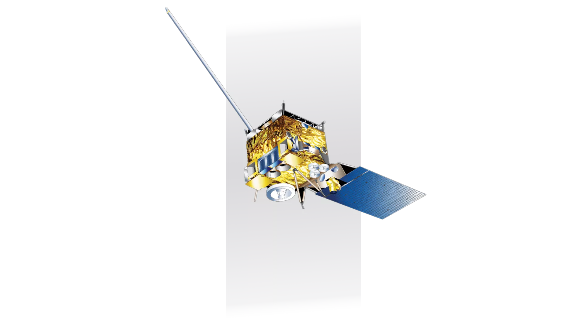
DSCOVR
2015 - Present
Launched in February 2015, DSCOVR succeeded NASA's Advanced Composition Explore's (ACE) satellite in November 2016, with a role in supporting solar wind alerts and warnings from the Lagrange Point 1 (or L1) orbit. Flying high at approximately one and a half million miles from Earth, the L1 location is a good position for DSCOVR to monitor the sun because the constant stream of particles it releases (called solar wind) reaches L1 about an hour before reaching Earth. However, the satellite is better known for its secondary payload, the Earth Polychromatic Imaging Camera (EPIC) that provides full-disk images of Earth, its atmosphere, and vegetation from its position.
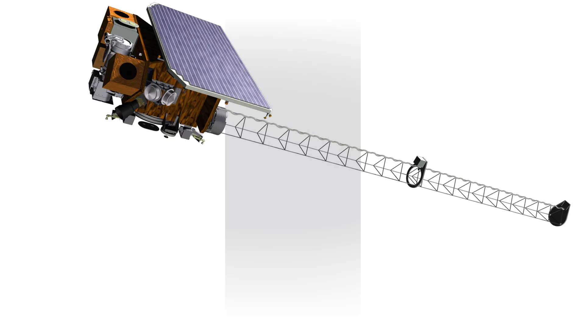
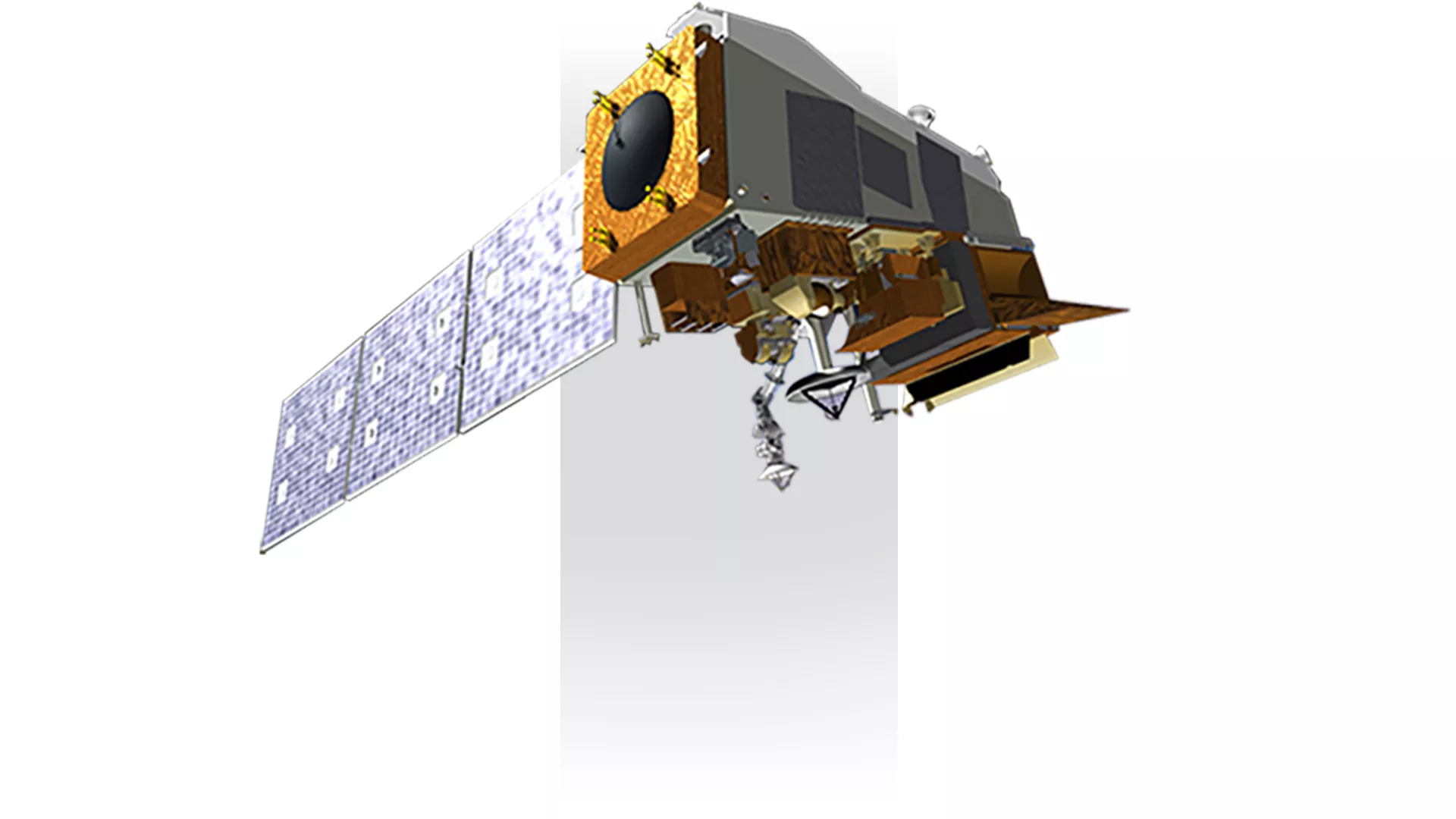
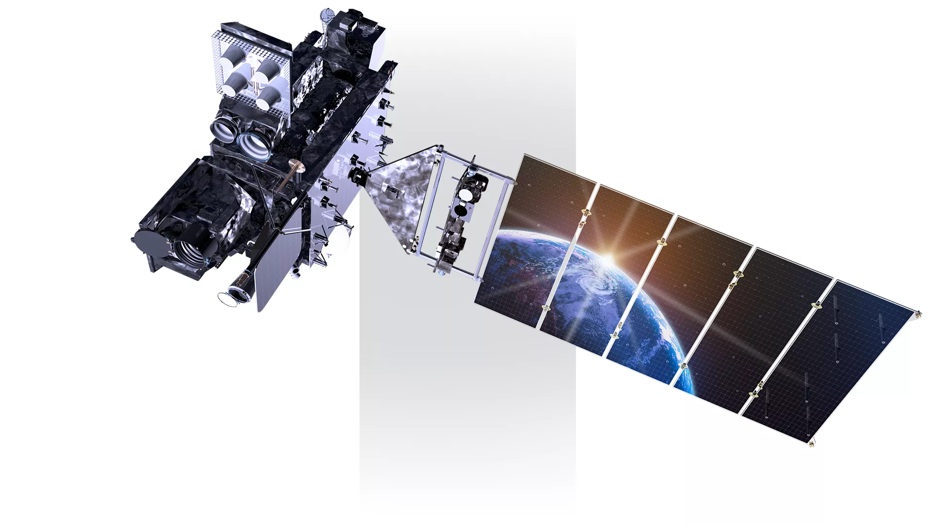
GOES R-U (16-19)
2016 - Present
GOES-R (-16) and GOES-S (-17) are the two newest geostationary satellites in orbit, which currently occupy the GOES-East and GOES-West positions. Together, they provide coverage from the east coast of Australia, across the Pacific Ocean, the Americas, and the Atlantic Ocean to the west coast of Africa. GOES-T and GOES-U are tentatively scheduled to be launched in December 2021 and 2024, respectively. GOES-U will also carry a copy of the Naval Research Laboratory’s Compact Coronagraph (CCOR) instrument, which along with the CCOR planned for SWFO-L1, will allow for continued monitoring of solar wind after the retirement of the NASA-European Space Agency SOHO satellite in 2025.
The Advanced Baseline Imager (ABI) on the GOES-R series is a major advancement because it can scan both routine “full disk” imagery and more localized areas as often as every 30 seconds to help deliver more accurate short-term weather forecasts. The ABI provides three times more spectral information, four times the spatial resolution, and more than five times faster temporal coverage than the previous system. It views the Earth with 16 different spectral bands (wavelengths) compared to five on the previous generation of geostationary satellites, including two visible channels, four near-infrared channels, and ten infrared channels.
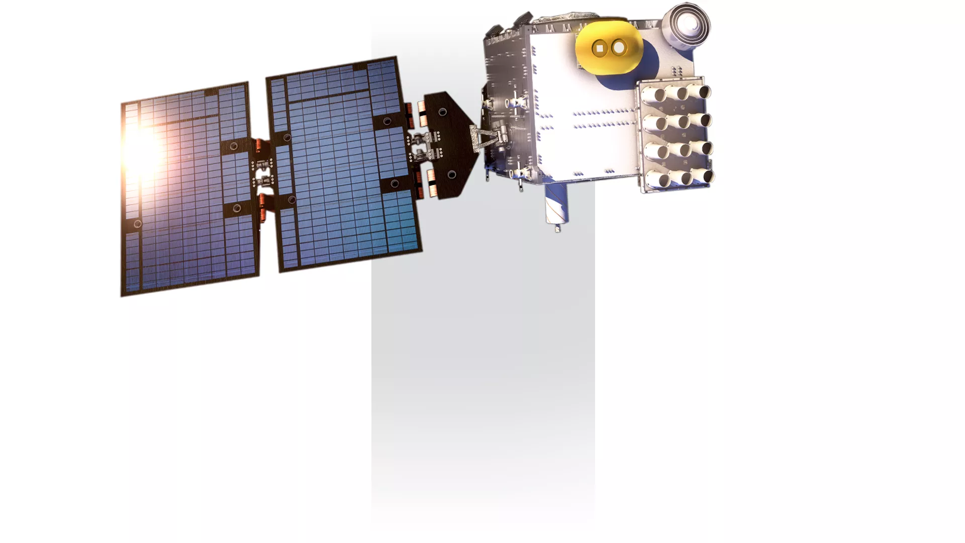
COSMIC 1-2
2006 - Present
The globe-spanning constellation of six satellites known as COSMIC-1 that was launched in 2006, is helping to improve weather forecasts, monitor climate change, and enhance space weather research via a technique called radio occultation. These low-orbiting satellites were the first to provide atmospheric data daily in real time over thousands of points on Earth, and also measure how radio signals from the U.S. Global Positioning System (GPS) bend as they pass through Earth's atmosphere.
The COSMIC-2 mission is made of another fleet of six small satellites that were launched in June of 2019. Each about the size of a standard kitchen oven, these orbit Earth near the equator, collecting data on atmospheric temperature and humidity in the tropics and subtropics as well as monitoring the ionosphere for the potentially harmful effects of solar storms.
The COSMIC program is part of a joint agreement between the American Institute in Taiwan and the Taipei Economic and Cultural Representative Office in the United States. In Taiwan, COSMIC-1 and COSMIC-2 are known as FORMOSAT-3 and FORMOSAT-7, respectively. The satellites are owned and operated by the Taiwan authorities.
SWFO
Under development
Space Weather Follow-On (SWFO) is a NOAA environmental satellite program under development that will provide space weather observations to improve space weather forecasting.
SWFO will measure solar wind and the Earth’s magnetic field. In addition, SWFO will observe the Sun’s corona to detect coronal mass ejections (CMEs) that may threaten Earth. The SWFO program is comprised of two projects: CCOR on GOES U spacecraft and the Space Weather Follow-On L1 mission (SWFO-L1).