
Expanding Understanding of Our Dynamic Planet
We are a leading, trusted source of environmental information for users around the world. We have end-to-end responsibility for ensuring the quality and availability of this information. It starts with raw data from our constellation of weather and environment-monitoring satellites and ends with vital products and services used daily across the country. The data we provide is used by the National Weather Service, scientists across NOAA and throughout the U.S., the commercial sector, and private citizens for a wide range of applications, including:
Weather Forecasting
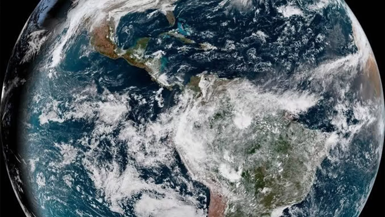
95% of the data used in weather forecasting models comes from satellites. NESDIS operates the Nation’s weather satellites around the clock, 365 days a year. We also maintain international data-sharing agreements that provide the U.S. with access to global data. Weather reports that help you plan your day or help FEMA prepare before a hurricane all start with NESDIS information.
Environmental Monitoring
We monitor a number of environmental conditions daily, weekly, seasonally, and over years to understand conditions on our planet and changes to our climate. We provide authoritative assessments of the U.S. and global climate. We also maintain one of the most significant archives of environmental data on Earth. From million-year-old tree rings to near-real-time satellite images, we provide access to comprehensive atmospheric, coastal, oceanic, and geophysical data.
Securing Life, Property, and Economic Prosperity
From the Atlantic to the Pacific and across the globe, NESDIS is on constant watch for weather patterns and environmental conditions that pose a threat to our citizens. We offer critical environmental intelligence to communities so they can minimize loss of life and damage to property in the event of extreme weather. U.S. industrial sectors, such as manufacturing, farming, construction, and transportation, rely on NESDIS data to operate efficiently and safely and to improve their bottom line. With our information, airlines can get back to the skies more quickly after foggy conditions, farmers learn when and how to plant crops for the best economic return, and ships can navigate a course around dangerous seas or Arctic ice, to name a few examples.
NESDIS at a Glance
• Operates the Nation’s weather satellites, 24/7
• Acquires next-generation earth and space weather observation satellites
• Develops critical data and operational products
• Provides definitive assessments of the U.S. and global climate
• Maintains one of the most significant archives of environmental data on Earth