

Aviation Weather Initiative
With You When You Fly
On April 14, 1969, the U.S. launched Nimbus-3, the first satellite to take soundings of Earth from orbit. These soundings provided, for the first time, a comprehensive picture of the entire atmosphere, including weather conditions over the oceans.
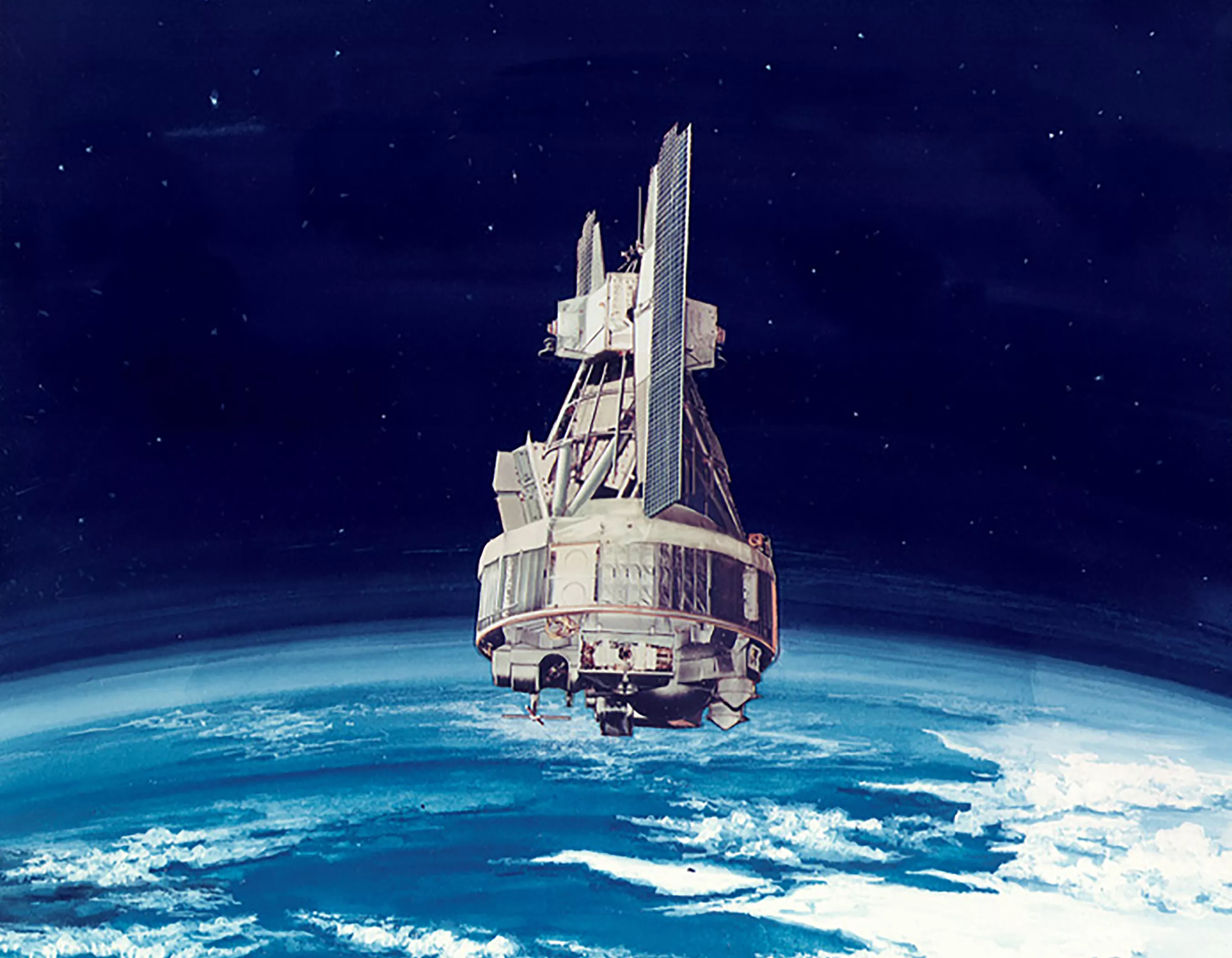
The Nimbus-3
When Nimbus-3 data started flowing from the satellite to Earth, scientists stayed up all night processing and hand-plotting the state of the atmosphere for the entire globe. Their analysis showed strong headwinds in the Western Pacific, which traditional soundings missed. Miscalculations like missing headwinds can cause travel delays, added expense to airlines and even force planes flying against these winds to land and refuel before reaching their destination.
Forecasting for Aviators
Since the advent of Earth-observing satellites, insights from space have played a huge role in aviation. With a fuller picture of Earth’s weather systems, airlines can fly their planes more efficiently, provide passengers with a smoother flight and even improve aviation safety.
The sounders onboard JPSS satellites, including the Advanced Technology Microwave Sounders (ATMS), offer meteorologists and aviation experts more data than ever before. The Aviation Weather Initiative helps them best use products derived from the data and develop new uses for it. Overall, the initiative improves general aviation, consumer travel, and air shipping. It even has applications that benefit military aeronautics.
One innovative use for data from satellites in the JPSS constellation involves aircraft icing, wherein ice forms on a plane’s fuselage mid-flight. NOAA-20 and Suomi-NPP data can help identify weather conditions that might induce icing, which reduces a plane's lift and can even damage its engine, endangering passengers and pilots.
The JPSS constellation observes cloud top height in the North Pole region in this image, which can help with forecasting for aviators, especially in Alaska.

Aviation Weather Initiative Data
View the aviation weather initiative data. JPSS Imagery is available through the NOAA View website, an interactive software portal to visualize NOAA’s weather and environmental satellite data. There is also more information about how to download this data.