
Arctic Initiative
Preserving Life, Pole to Pole
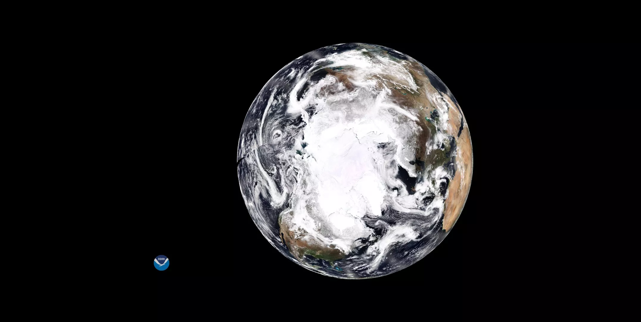
Climate change is transforming the Arctic into an increasingly accessible place for economic opportunity, one where industries and local communities flourish. However, warmer air and ocean temperatures are straining ecosystems, endangering communities and presenting significant challenges to the region.
Sea Ice Analysis and Forecasting
The Arctic Initiative was created to support the National Weather Service Alaska Sea Ice Program and the National Ice Center fulfill their missions of providing Arctic-based and global sea ice analysis and forecasting. These activities support many commerce and transportation activities in the Arctic, including ship navigation, fishing, and oil and gas exploitation. As part of the initiative, several JPSS cryosphere products were provided to these organizations and used in daily operations. The products were then evaluated to undergo further improvements, and even more products were developed to aid and improve ice monitoring and forecasting.
Insights from satellites like NOAA-20 and Suomi-NPP can help people in the Arctic better plan for the future by understanding their changing environment. NOAA's National Environmental Satellite Data and Information Service provides access to more than 30 years of ice and atmospheric properties data collected by satellites, as well as real-time satellite data that is critical for accurate forecasting and warning of events like storms and rapid ice formation. Sea ice forecasts are critical to many different stakeholders in the Arctic, including coastal communities, Alaskan Native populations, industries, emergency first responders, and researchers.
Access Arctic Initiative Data Products
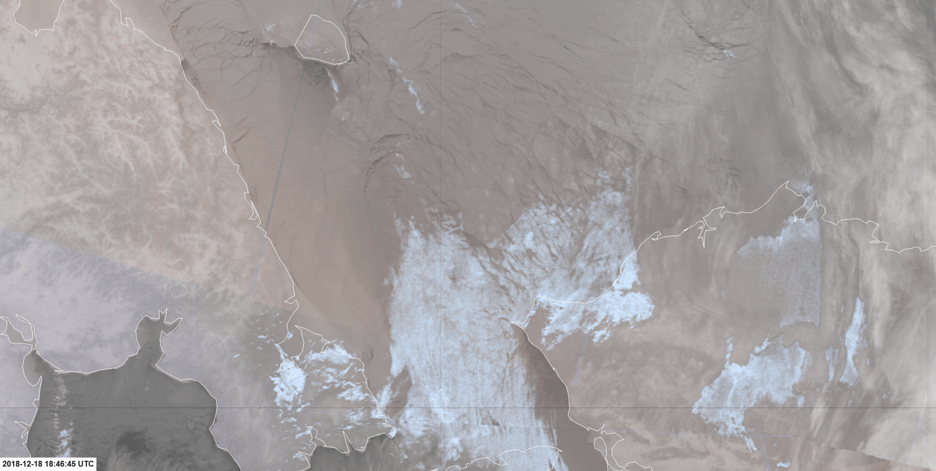
JPSS Imagery is available through the NOAA View website, an interactive software portal to visualize NOAA’s weather and environmental satellite data. There is also more information about how to download this data.