The ISRO-NOAA Data Exchange and Cooperation (INDEC) Program is a cooperative partnership program led by The National Oceanic and Atmospheric Administration (NOAA) and The Indian Space Research Organisation (ISRO). The INDEC Program is an overarching structure for all shared efforts between ISRO and NOAA.
Representing NOAA in the management of INDEC Program and Project is The National Environmental Satellite, Data, and Information Service (NESDIS) and Office of Projects, Planning, and Analysis (OPPA).
The primary purpose of the INDEC Program is for ISRO and NOAA to cooperate in the involvement of meteorological and oceanographic satellite and data sharing missions of mutual interest. Each partner provides services, data, and expertise. This cooperation enhances the capabilities of the partnership and provides near real-time Earth sciences data to the international weather research and forecasting communities.
- Both: ISRO and NOAA share the common goal of optimizing the quality and maximizing the utility of the SCATSAT-1 data for the benefit of future global and regional scientific and operational applications.
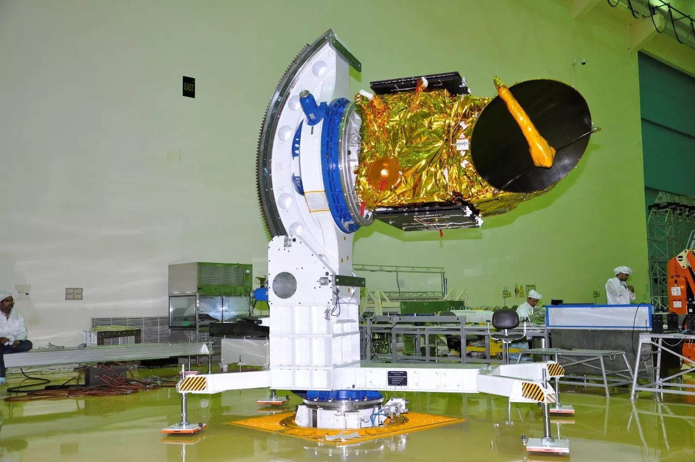
- Both: Identify opportunities for future collaboration in ground architecture (e.g. OCEANSAT-3, OCEANSAT-3A)
- India (ISRO): Reduce costs in the reliance on Svalbard Ground Station.
- U.S. (NOAA): Develop the operational partnership and gain access to satellite data maintained by ISRO.
ISRO and NOAA expect the INDEC partnership to succeed well into the future after an extension and approval in late 2017 of the initial 2012 agreement. The renewed project framework allowed for continued cooperation and follow-on projects such as the SCATSAT Project. The OCEANSAT3 project, which is currently under development, is the next step for the INDEC program which will utilize much of the infrastructure laid out by the SCATSAT Project.