

Our dynamic world is always changing. See what it looks like now from space via our live feeds.
Explore interactively Interactive Maps

NOAA celebrates 50 years of its heralded Geostationary Operational Environmental Satellite program.
Fifty Years! 50 Years of GOES
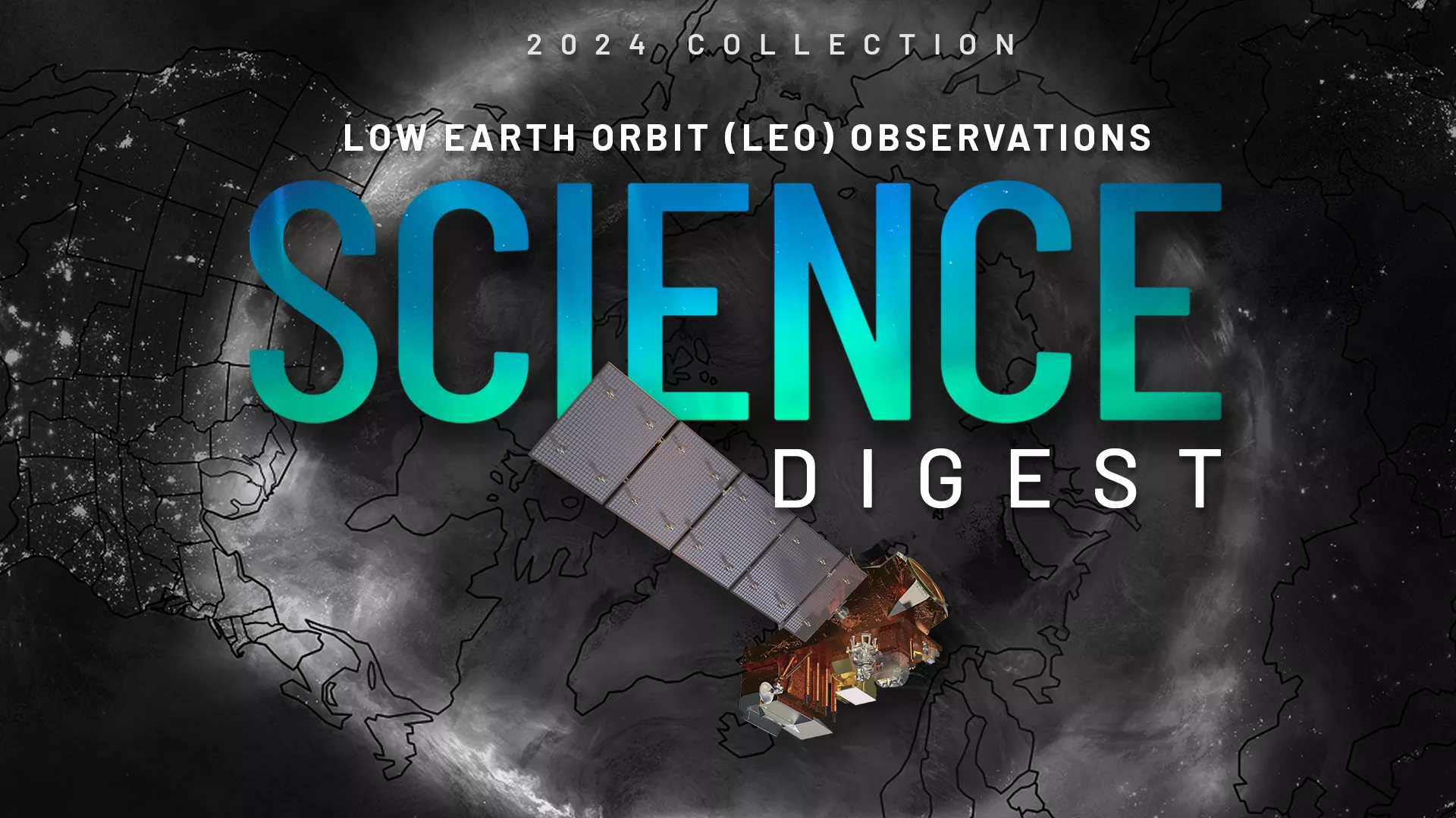
Explore the impact and applications of low earth orbit data and products.
View Digest 2024 LEO Science Digest
Feature Stories
-
April 6 is also known as 406 Day in honor of the frequency used by distress beacons. This…
-
On April 1, 1960, the National Aeronautics and Space Administration (NASA) launched TIROS-1, the…
-
NOAA satellites closely monitored a powerful and devastating storm system that tore through the…
-
Near real-time preliminary data from NOAA’s first Compact Coronagraph (CCOR-1), a powerful solar…
Data & New Technology
Data Purchases
NOAA is taking concrete steps to support the development of commercial markets for space-based weather data.
Visit the programs page Data Purchases
Data Collections
NOAA collects the most up-to-date data about the atmosphere, land, and oceans.
Learn about data information Data Collections
Pathfinder Initiative
Help develop studies for future applications of mission data products.
Read about pathfinder initiative Pathfinder Initiative
News & Announcements
-
On Oct. 11, 2024, the aurora borealis dazzled many across North America due to a severe geomagnetic…
-
On Oct. 8, 2024, at 6:30 p.m. EDT, NOAA’s GOES East satellite captured this imagery of Hurricane…
-
Restoration efforts are underway, some climate-related data products affected
-
On Sept. 10, NOAA awarded a $1,092,689 contract to Jet Propulsion Laboratory (JPL), of Pasadena,…
-
The Extreme Ultraviolet and X-ray Irradiance Sensors (EXIS) onboard NOAA’s GOES-19 satellite, which…