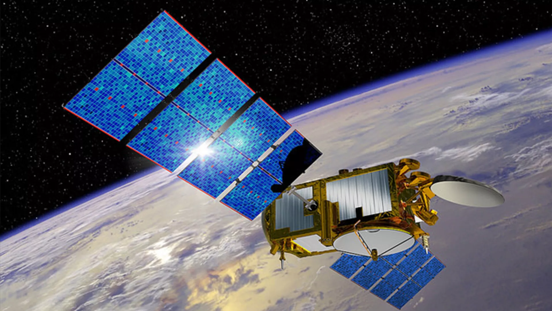
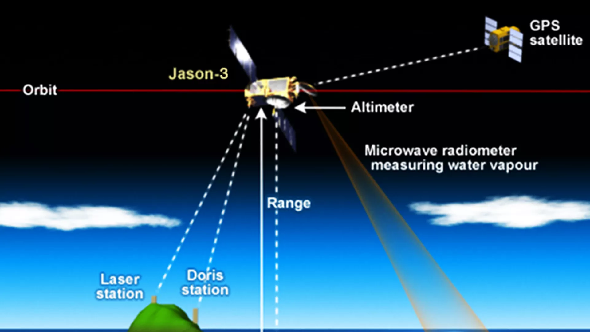
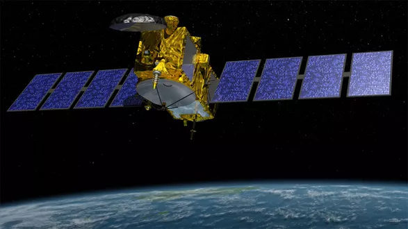
Jason-3 is a satellite mission that supports scientific, commercial and practical applications related to sea level rise, ocean circulation, and climate change. Jason-3 follows the current operational altimeter satellite, Jason-2, in maintaining satellite altimetry observations of global sea surface height. Jason-3 is an international cooperative mission in which NOAA is partnering with the Centre National d'Etudes Spatiales (CNES, France’s governmental space agency), European Organisation for the Exploitation of Meteorological Satellites (EUMETSAT), and National Aeronautics and Space Administration (NASA).
Jason-3 will make highly detailed measurements of sea surface height, which is a measure used to study sea level rise—a critical factor in understanding Earth’s dynamic climate. Sea surface height data from altimetry satellites like Jason-3 are also used to study hurricane intensity, tsunami dynamics, El Niño Southern Oscillation, eddy dynamics, ocean boundary currents, coastal and shallow water tides, as well as weather and climate forecasting.
Explore

Related News
-
Jason-2, the oceanography satellite that has helped us map the ocean floor and measure global sea…
-
We’ve seen tropical cyclone activity in the Atlantic basin heat up quite a bit—most notably with…
-
NOAA began monitoring sea level more than 20 years ago, with the TOPEX/Poseidon satellite in 1992.…
-
A year has passed since the Jason-3 satellite rocketed into space. NOAA's Laboratory of…