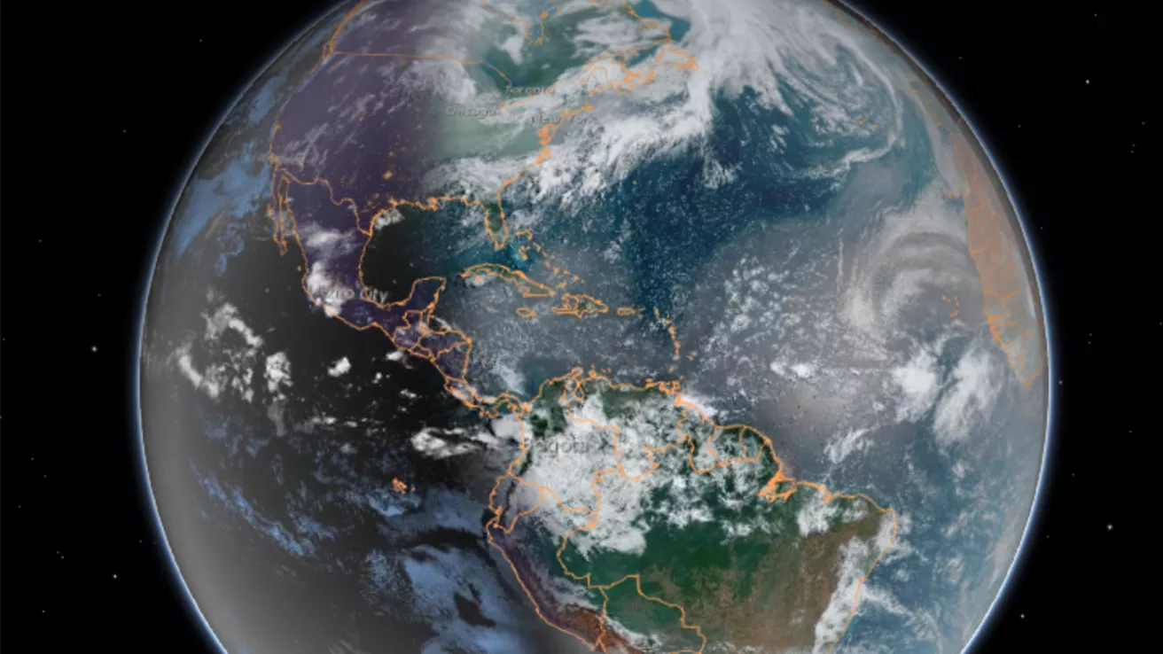
Our dynamic world is always changing. See what it looks like now from space via our live feeds.
Explore interactively Interactive Maps
SWFO-L1 will transmit data to Earth continuously in real-time, protecting vital infrastructure, economic interests, and national security.
Monitoring the sun NOAA's SWFO-L1
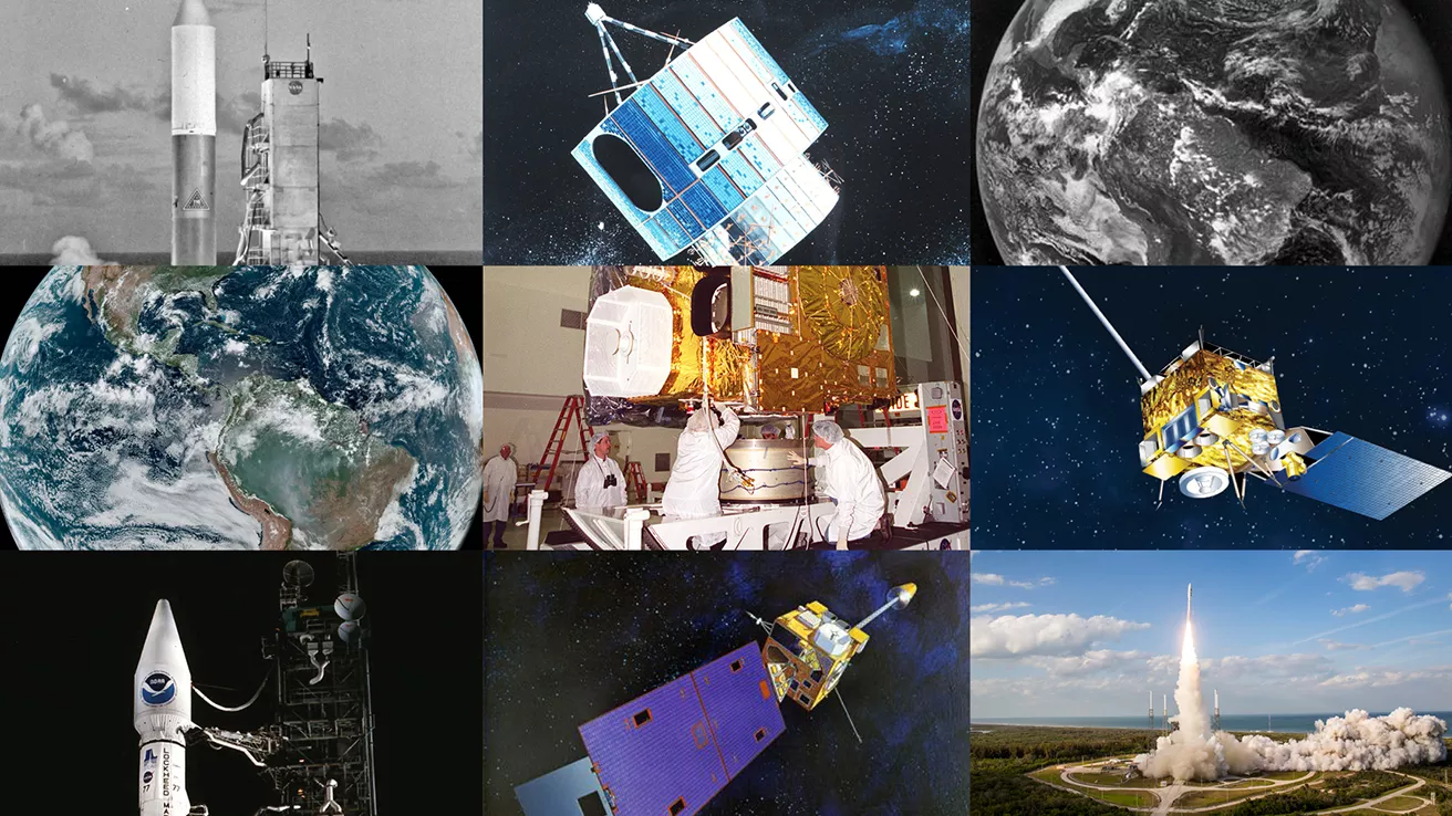
NOAA celebrates 50 years of its heralded Geostationary Operational Environmental Satellite program.
Fifty Years! 50 Years of GOES
Feature Stories
-
Feature Story
The Sentinel-6B (S-6B) satellite was launched on November 16, 2025, at Vandenberg Space Force Base… -
Feature Story
In the early hours of July 4, 2025 a devastating flash flood occurred in the Central Texas Hill… -
Feature Story
NOAA satellites have witnessed some pretty extreme events, from massive wildfires and explosive… -
Feature Story
NOAA’s Space Weather Follow On – Lagrange 1 (SWFO-L1) satellite has arrived at the Astrotech Space…
Data & New Technology
Commercial Data Program
NESDIS assesses and acquires space-based observational weather data from the private sector.
Improving weather forecasts Commercial Data Program
Data Collections
NOAA collects the most up-to-date data about the atmosphere, land, and oceans.
Learn about data information Data Collections
Pathfinder Initiative
Help develop studies for future applications of mission data products.
Read about pathfinder initiative Pathfinder Initiative
News & Announcements
-
Announcement
On September 18, 2025, the National Oceanic and Atmospheric Administration (NOAA) signed an Other… -
Announcement
NOAA’s National Environmental Satellite, Data, and Information Service (NESDIS) has published a… -
Satellite Snapshots
NOAA’s GOES East (GOES-19) satellite viewed the autumnal equinox, which marked the official start… -
Announcement
his video offers an exclusive look at the dedicated operations team behind NOAA’s Space Weather…
Events
-
Dec 15 - Dec 19, 20258:30am - 5:30pmWide. Open. Science. 2023 might be the official year of Open Science but we also see it as an…
-
Feb 18, 20268:30am - 4:30pmImproving wildfire detection and monitoring capabilities through new satellite technology.


