


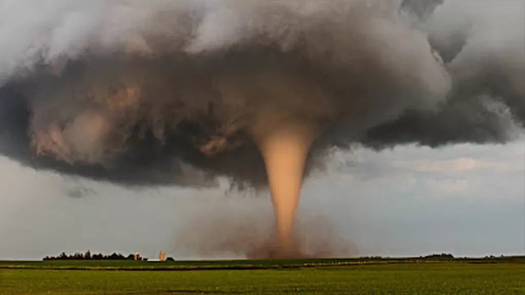
A tornado churns up dust in the sunset light near Traer, Iowa by Brad Goddard, Orion, IL (Image credit: NOAA)
Weather satellites help predict the thunderstorms that can produce tornadoes.
Tornadoes are narrow, swiftly rotating columns of air that extend from the base of a thunderstorm to the ground. This can happen when warm, moist air rises while cool air falls with precipitation, such as rain or hail. The movement of these updrafts and downdrafts causes rotation within the clouds. The rotation starts as a horizontal spin, but can turn vertical and reach the ground in the right environmental conditions, forming a tornado.
About 1,000 tornadoes occur in the U.S. annually. A large portion of them occur in “Tornado Alley,” a ten-state section of the Midwest, but they can appear in any state. They can be devastating, turning entire neighborhoods into mounds of debris. Given that tornadoes can pick up cars and tear apart buildings, it’s vital that warnings are issued early, giving the public enough time to evacuate or seek adequate shelter.

This image shows a supercell as seen from the ground, along with a diagram showing the traits of a supercell. Credit: NOAA
A Satellite’s Role in Tornado Warnings
Geostationary Operational Environmental Satellites (GOES) keep a constant eye on atmospheric "triggers" for severe weather conditions, like severe thunderstorms called supercells. They can produce long-lasting and violent tornadoes. After severe weather develops, these satellites monitor the storm, tracking its movement in up to one-minute intervals.
A rapid increase in lightning activity is often a sign that a storm is strengthening. The Geostationary Lightning Mapper (GLM) tracks lightning strikes as they occur, including strikes within the clouds that are not visible from the ground. To predict lightning up to an hour before the first strike, the National Weather Service uses LightningCast with data from the Advanced Baseline Imager (ABI). The ABI also monitors small cumulus clouds and is used by forecasters to help predict which of those clouds are most likely to develop into a thunderstorm. Together, data from the GLM and ABI help forecasters to predict which storms may produce damaging winds, hail or tornadoes and to issue warnings early.


