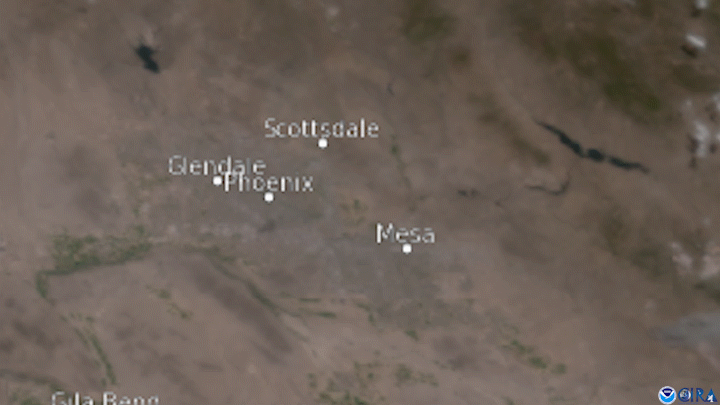
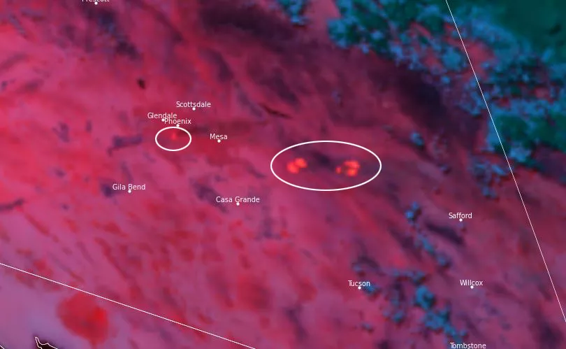
On the afternoon of Saturday, June 5, the GOES West satellite captured GeoColor imagery of a large, dark plume of smoke emanating from a 6-alarm fire that consumed a recycling yard, a lumber yard, and a tire yard in Phoenix, Arizona. The fire first ignited around 12:30 p.m. on Saturday.
More than 200 firefighters from ten different agencies worked to battle the blaze, which was the largest response in the Phoenix Fire Department’s history. Crews were still putting out embers and hotspots on Monday. Due to the extreme summer heat covering the region, the fire departments kept about 20 IV fluid bags in each fire truck and had paramedics standing by in case any of the firefighters or nearby citizens began struggling with heat illness.
The GOES West satellite, also known as GOES-17, provides geostationary satellite coverage of the Western Hemisphere, including the United States, the Pacific Ocean, Alaska and Hawaii. First launched in March 2018, the satellite became fully operational in February 2019.