
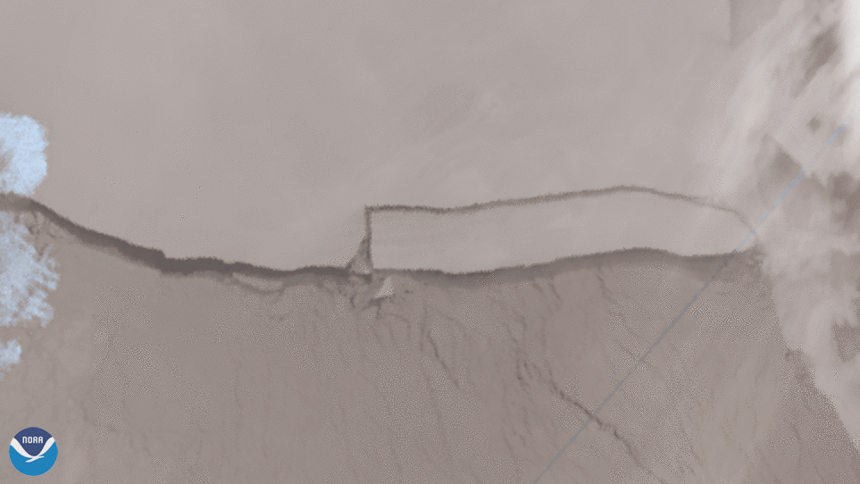
NOAA’s JPSS polar-orbiting satellites viewed the calving of iceberg A-76 from May 15 to 16, which is now the largest in the world. The iceberg broke off from the Ronne Ice Shelf that borders the Weddell Sea, and was designated as A-76 by The U.S. National Ice Center (USNIC).
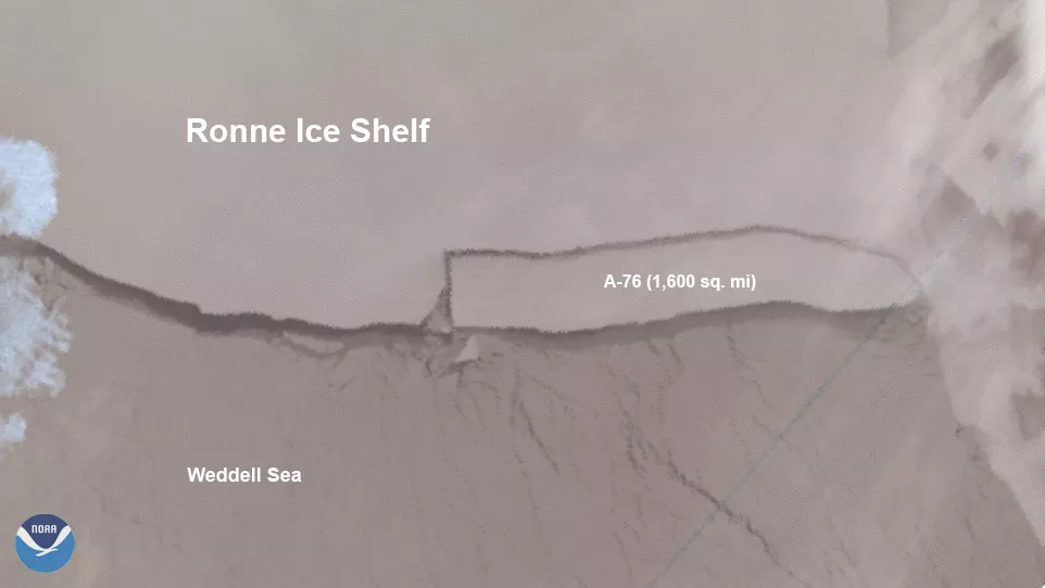
The authority designated with monitoring icebergs, the USNIC has a naming convention that is derived from the Antarctic quadrant from where the berg originates. So, the A-76 iceberg was found around Quadrant A, the Bellingshausen/Weddell Sea area, and was the 76th iceberg named by the USNIC scientists.
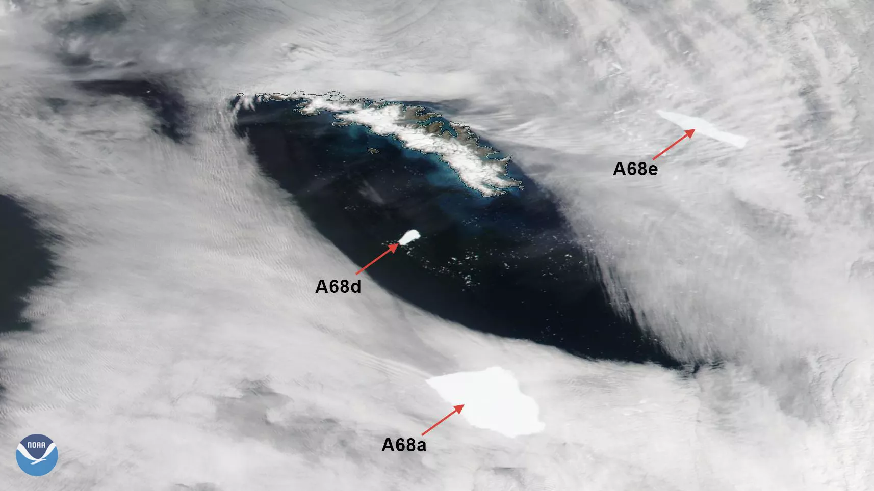
One recent record holder for largest iceberg in the world, A-68A, calved into several pieces by January 2021. The largest of which is now merely 6 sq. mi., down from its maximum size of 2,200 sq. mi in 2017. The A-76 iceberg, in contrast, now measures at just over 1,600 sq. mi. For added reference, A-76 is slightly smaller than the state of Delaware, 41 times the size of Paris, and over 70 times larger than Manhattan Island.
The Joint Polar Satellite System (JPSS) is the Nation’s advanced series of polar-orbiting environmental satellites. JPSS represents significant technological and scientific advancements in observations used for severe weather prediction and environmental monitoring. These data are critical to the timeliness and accuracy of forecasts three to seven days in advance of a severe weather event. JPSS is a collaborative effort between NOAA and NASA.