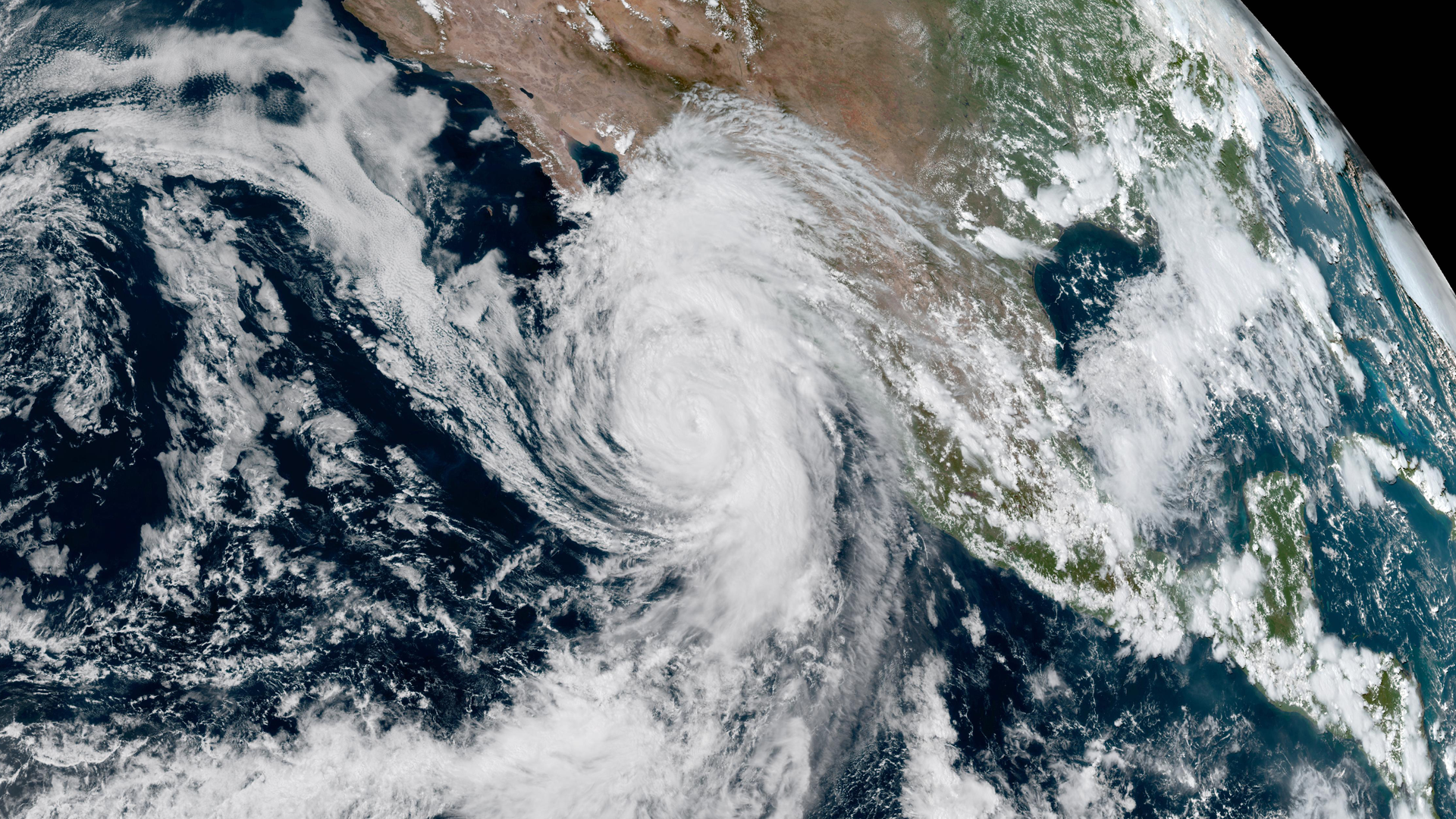
While NOAA’s GOES-18 undergoes post-launch testing and calibration of its instruments and systems, the new satellite is in position to help forecasters during the height of the 2022 Pacific hurricane season.

GOES-18, which launched on Mar. 1, 2022, was initially delivered to 89.5 degrees west longitude over the Central U.S. and began post-launch testing and calibration of its instruments and systems in that location. Usually, GOES satellites complete post-launch testing in that location, but GOES-18’s early successes allowed NOAA to move it to 137.0 degrees west early. In this location, its Advanced Baseline Imager (ABI) data will be available to forecasters during the “warm” periods that degrade some GOES-17 (GOES-West) imagery during the height of hurricane season.
NOAA implemented a unique solution to mitigate the loss of warm period GOES-17 imagery by delivering GOES-18 ABI data to GOES-West data users. Starting on Aug. 1, 2022, GOES-West data users will receive GOES-18 ABI data for operational use. This will be accomplished through a data “interleave” that will deliver GOES-18 ABI data with GOES-17 lightning mapper and space weather data through the GOES Rebroadcast and Product Distribution and Access data delivery systems. This period of data interleave will end on Sept. 6. A second period of data interleave will take place from Oct. 13 through Nov. 14 of this year.
NOAA is working with the satellite data user community to prepare them for these interleave periods and make them aware of an imagery artifact discovered with one of the ABI channels. During post-launch testing of the GOES-18 ABI, scientists noticed vertical bars, similar in pattern to a barcode, in some of the imagery from one of the instrument’s channels that has not improved with on-orbit instrument calibration activities to date.
This artifact appears only in Band 7, one of the channels that measure infrared imagery. While visible to the eye, the barcode effect is minor. It is more apparent at night and when Band 7 is combined with data from other ABI channels in some multispectral imagery.

NOAA expects minimal impact on operational forecasting applications. The majority of Band 7 imagery is not affected. Band 7 is used to identify fog and low clouds at night, identify fire hot spots, detect volcanic ash, estimate sea surface temperatures, and estimate low-level atmospheric winds.
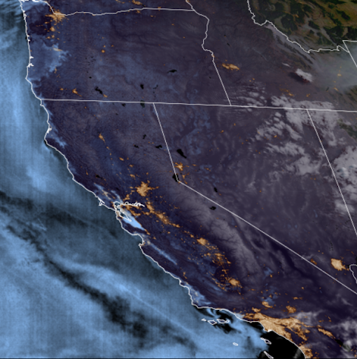
This GOES-18 fire temperature imagery with GeoColor overlay showing wildfires in Alaska on June 30, 2022, does not have the barcode artifact. This type of imagery is used to visualize both a fire’s hotspots and smoke plumes.
The GOES-R Program, including the instrument development team, continues to troubleshoot and develop corrective steps for the system. NOAA and NASA are certain it is not related to the performance of the loop heat pipes or cooling system issue that affects the GOES-17 ABI. The GOES-18 ABI cooling system is performing well. The ABI was redesigned for GOES-18 to reduce the likelihood of future cooling system anomalies. The new design uses a more simple hardware configuration that eliminates the filters susceptible to debris.
NOAA plans to make GOES-18 the operational GOES-West satellite in early 2023. GOES-17 will become an on-orbit spare.