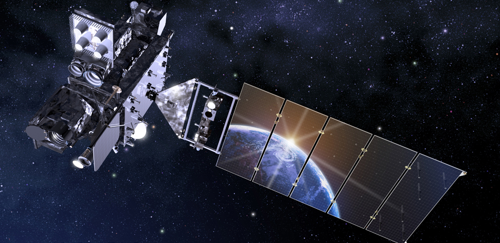
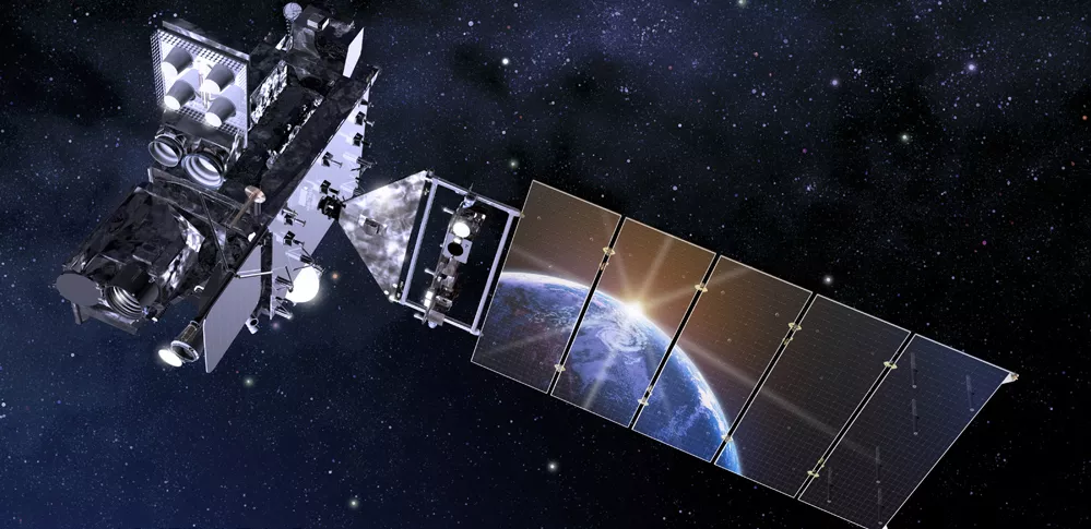
NOAA’s GOES-18 launched on March 1, 2022, from Cape Canaveral Space Force Station in Florida. GOES-18 is the third satellite in the GOES-R Series, the Western Hemisphere’s most advanced weather-observing and environmental-monitoring system.
As our sentinels in the sky, NOAA’s GOES satellites help protect the one billion people who live and work in the Americas. Data from GOES-18 helps meteorologists see the big picture as well as read the fine print, providing critical real-time information before, during and after severe weather and disasters strike.
GOES-18 provides advanced imagery and atmospheric measurements, real-time mapping of lightning activity, and monitoring of space weather.
Fact Sheets and Infographics
- Mission Overview
- Advanced Baseline Imager
- Geostationary Lightning Mapper
- GOES-R Space Weather Instruments
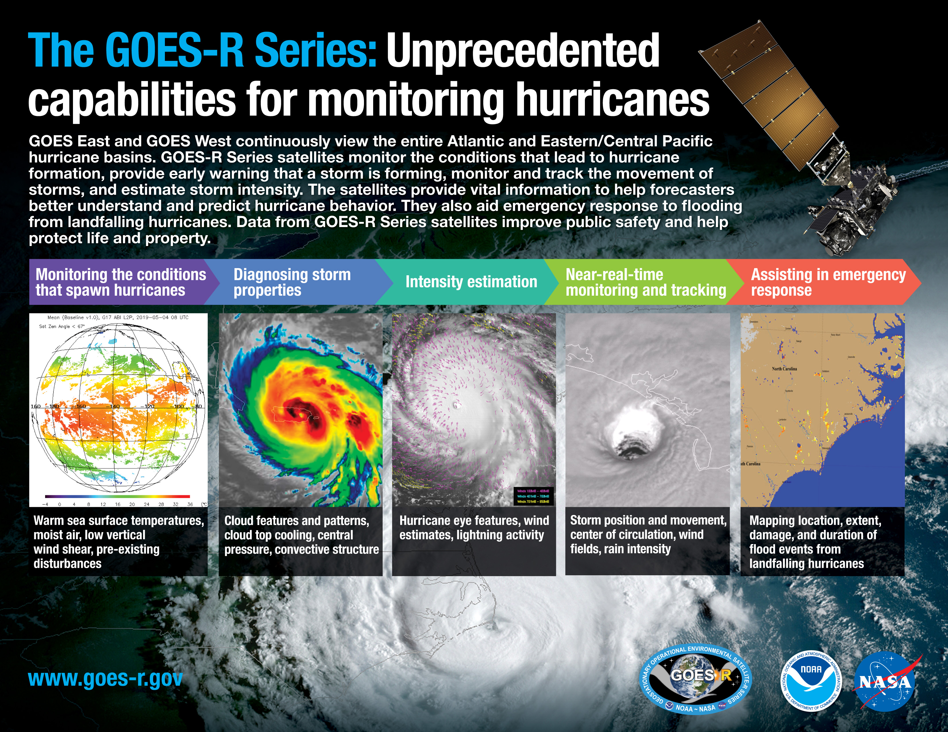
- The GOES-R Series: Unprecedented Capabilities for Monitoring Hurricanes
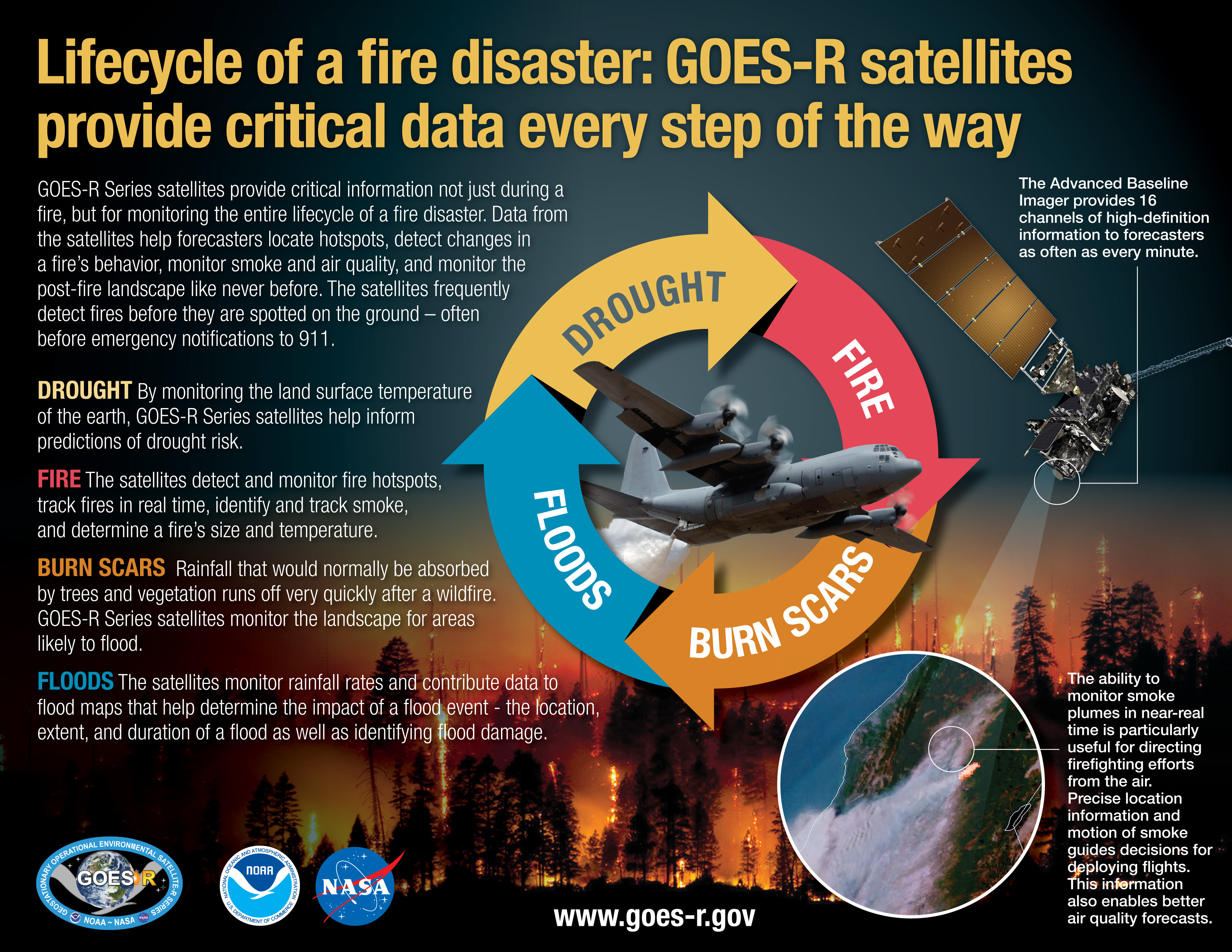
- Lifecycle of a Fire Disaster: GOES-R Satellites Provide Critical Data Every Step of the Way
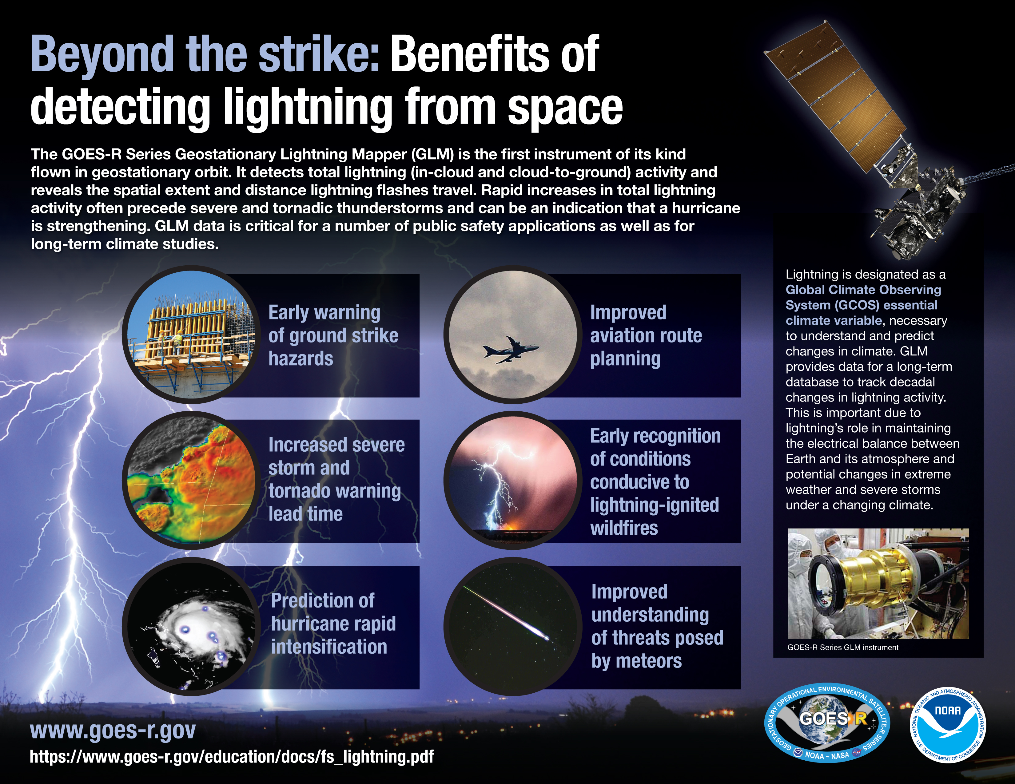
- Beyond the Strike: Benefits of Detecting Lightning from Space
- Atlas V 541 Launch Vehicle
GOES-T Image Galleries
GOES-T Program Team
Learn about the GOES program team.
Media Contacts
John Leslie
Phone: 301-713-0214
John Bateman
Phone: 301-713-9604
Email: nesdis.pa@noaa.gov
Recent News
-
On Jan. 25, 2023, NOAA satellites captured an unusually long and long-lived rope cloud produced by…
-
From late Dec. 2022 into Jan. 2023, a series of nine “atmospheric rivers” dumped a record amount of…
-
This year, two NOAA satellites and a separate instrument onboard a commercial satellite were…
-
NOAA’s operational satellite fleet has a new member. GOES-18 entered service as GOES West on Jan. 4…
-
NOAA satellites see our planet from a unique and captivating perspective. Every year, our…
-
Hurricane Andrew At 30: A Look Back from Above
-
NOAA prepares forecasters for early availability of GOES-18 data during the 2022 Atlantic Hurricane…
-
The Solar Ultraviolet Imager, or SUVI, onboard NOAA’s GOES-18 satellite, which launched on March 1…