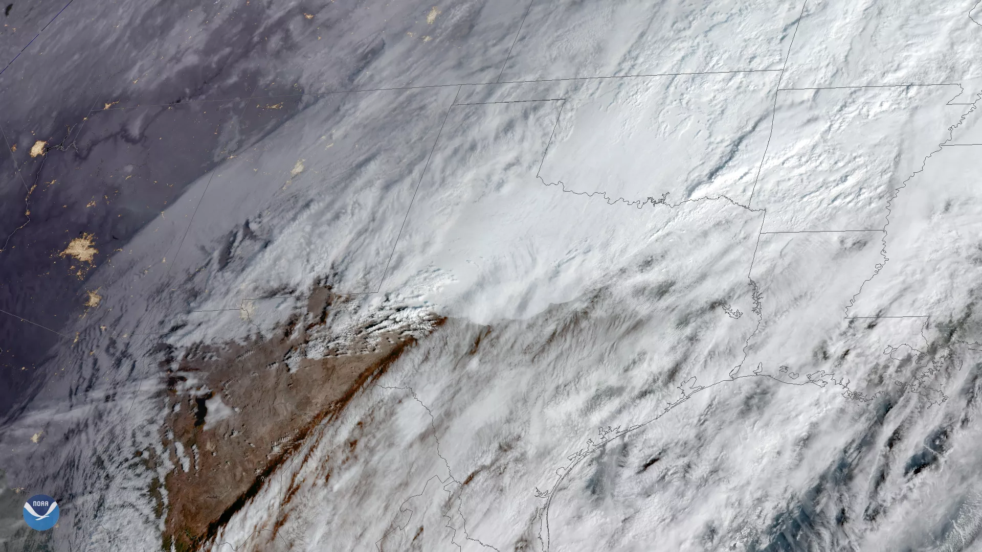
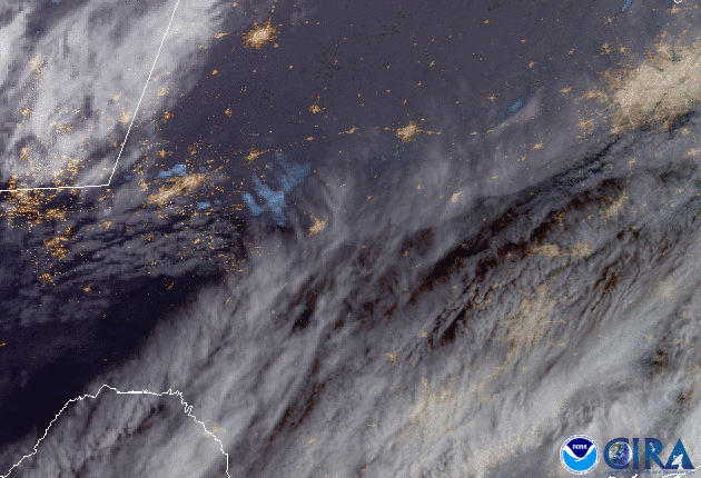
On Feb. 4, 2020, GOES-East captured this imagery of low-level stratus clouds as they moved across Texas behind a cold front, while higher cirrus clouds sped by above them. They are part of a large storm system that is spreading snow and ice from the southern Plains to the Midwest and is forecast to move toward the Northeast later this week.
The National Weather Service has issued Winter Storm Warnings and Winter Weather Advisories from portions of New Mexico and Colorado through Texas, Oklahoma, Kansas, Missouri, and Illinois.
Parts of the Salt Lake City metro saw more than a foot of snow on Monday, while the Denver metro saw freezing rain and two-to-five inches of snow as of Tuesday morning--after a high of 74 degrees Fahrenheit on Sunday. The last time it was that warm this time of year in Denver was 86 years ago.
Travel in many areas may be affected by the storm, so please use caution when traveling.
The GOES East geostationary satellite, also known as GOES-16, keeps watch over most of North America, including the continental United States and Mexico, as well as Central and South America, the Caribbean, and the Atlantic Ocean to the west coast of Africa. The satellite's high-resolution imagery provides optimal viewing of severe weather events, including thunderstorms, tropical storms, and hurricanes.