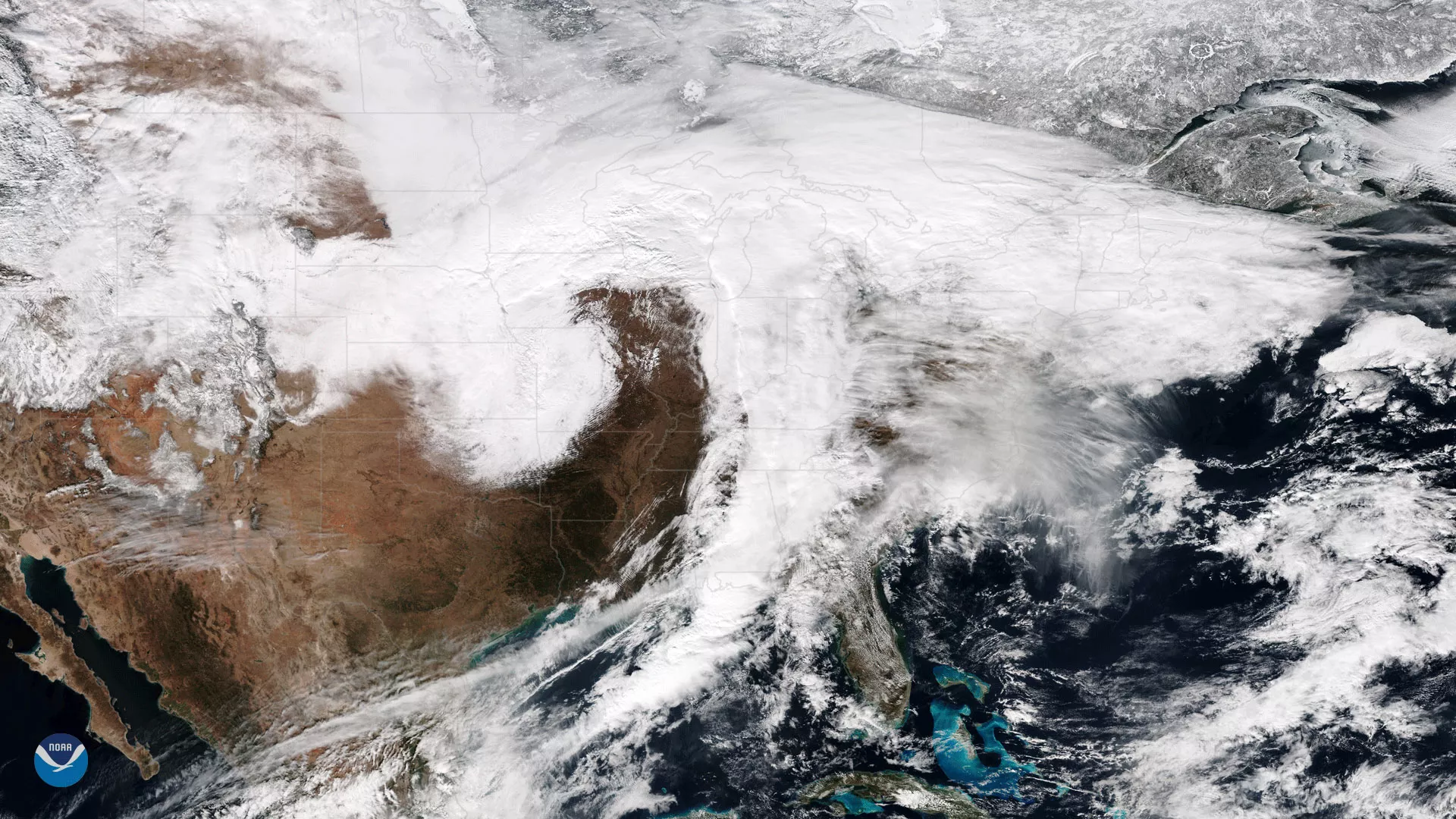
The Suomi NPP satellite's VIIRS instrument captured this image of a large winter storm moving across the central United States on January 22, 2018. The storm dumped over one foot of snow over the central Rockies and brought whiteout conditions across the central Plains and upper Midwest, where the National Weather Service reported wind gusts as high as 60 mph in eastern Nebraska.
Until recently, much of the central Plains had seen relatively little snow this winter. Although this storm put a dent in the snow deficit in Iowa, Minnesota and Wisconsin, seasonal snowfall remains well below normal in parts of the central Plains. Aberdeen, South Dakota, for example, has recorded only five inches of snow so far this winter, which is only about 25 percent of average for this point in the season.
Although true-color images like this may appear to be photographs of Earth, they aren't. They are created by combining data from the three color channels on the VIIRS instrument sensitive to the red, green and blue (or RGB) wavelengths of light into one composite image. In addition, data from several other channels are often also included to cancel out or correct atmospheric interference that may blur parts of the image.