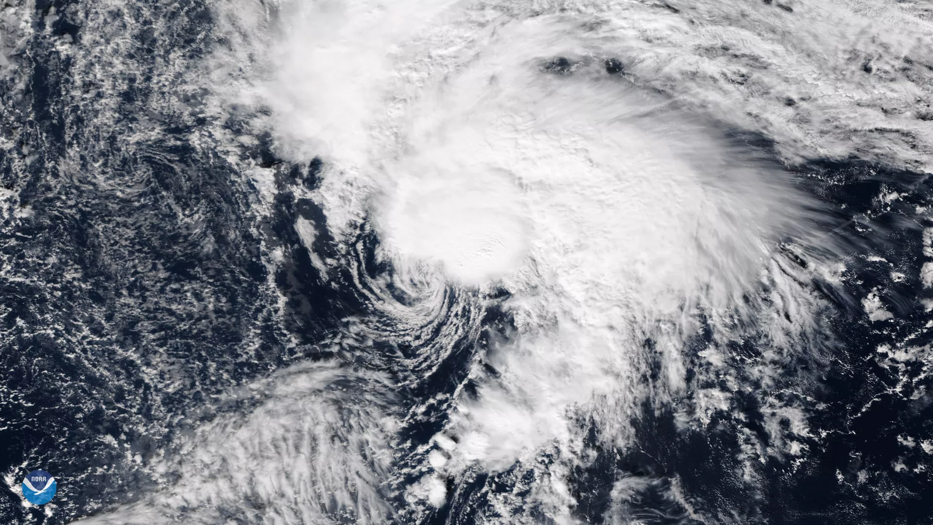
The Suomi NPP satellite's VIIRS instrument took this image of Tropical Storm Rina in the central Atlantic Ocean on November 7, 2017. As the storm moves northward little change in strength is expected before Rina loses all deep convection within the next 24 hours over chilly waters.
Although true-color images like this may appear to be photographs of Earth, they aren't. They are created by combining data from the three color channels on the VIIRS instrument sensitive to the red, green and blue (or RGB) wavelengths of light into one composite image. In addition, data from several other channels are often also included to cancel out or correct atmospheric interference that may blur parts of the image.