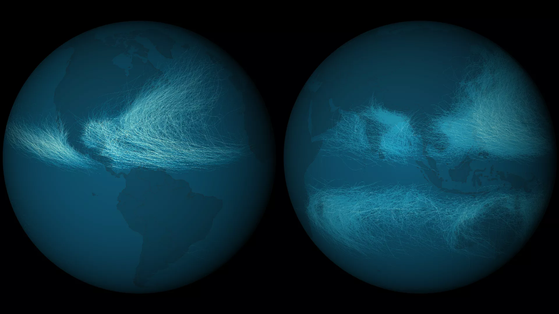
Tropical cyclones have a wide range of wind speeds that are used to classify their intensities. NOAA’s National Climatic Data Center has assembled the best track data for 11,967 tropical cyclones into a single database, called IBTrACS, with information from 1842 to 2012. Included in that database are estimates of wind speeds along the tracks of the storms. This image shows the output of that data. By coloring the maximum sustained wind speed over the course of a storm’s life, certain patterns arise. In contrast to the similar image of storm frequency, the Northwestern Atlantic shows a much greater spread of strong storms, whereas in the Pacific the strongest cyclones seem to group near the Philippines.