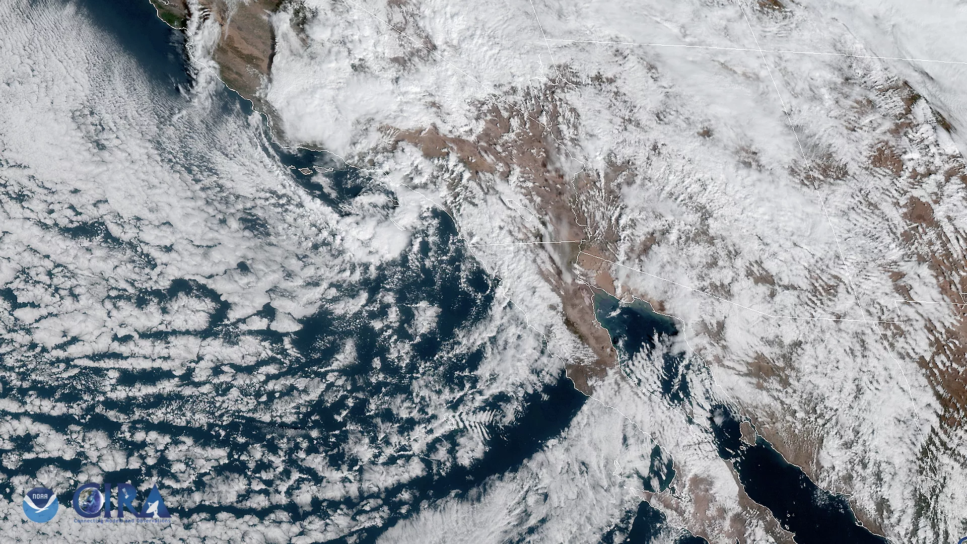
The GOES West satellite captured this image of the southwestern US and the Pacific Ocean on Nov. 20, as it was experiencing a storm system moving in from the south. As a result, areas in southern Arizona face an increased likelihood of thunderstorms and flash flooding from Wednesday afternoon until Thursday evening.
According to the National Weather Service , “repeated showers and thunderstorms moving across the same location can result in rapidly rising water [and]...dangerous conditions” in lower-lying areas. Residents of the affected areas are encouraged to react quickly in the face of any potential flash flooding and to take alternate routes if confronted with immediate danger.
The storm system will bring a threat of heavy snow in mountainous areas. Total snow accumulations of 8 to 15 inches will likely occur between 7,000 and 8,000 feet, with amounts of nearly two feet possible above 8,000 feet. Strong winds could gust as high as 45 mph, intermittently reducing visibility during the falling snow.
This GeoColor enhanced imagery was created by NOAA's partners at the Cooperative Institute for Research in the Atmosphere. The GOES West satellite, also known as GOES-17, provides geostationary satellite coverage of the Western Hemisphere, including the United States, the Pacific Ocean, Alaska and Hawaii. First launched in March 2018, the satellite became fully operational in February 2019.