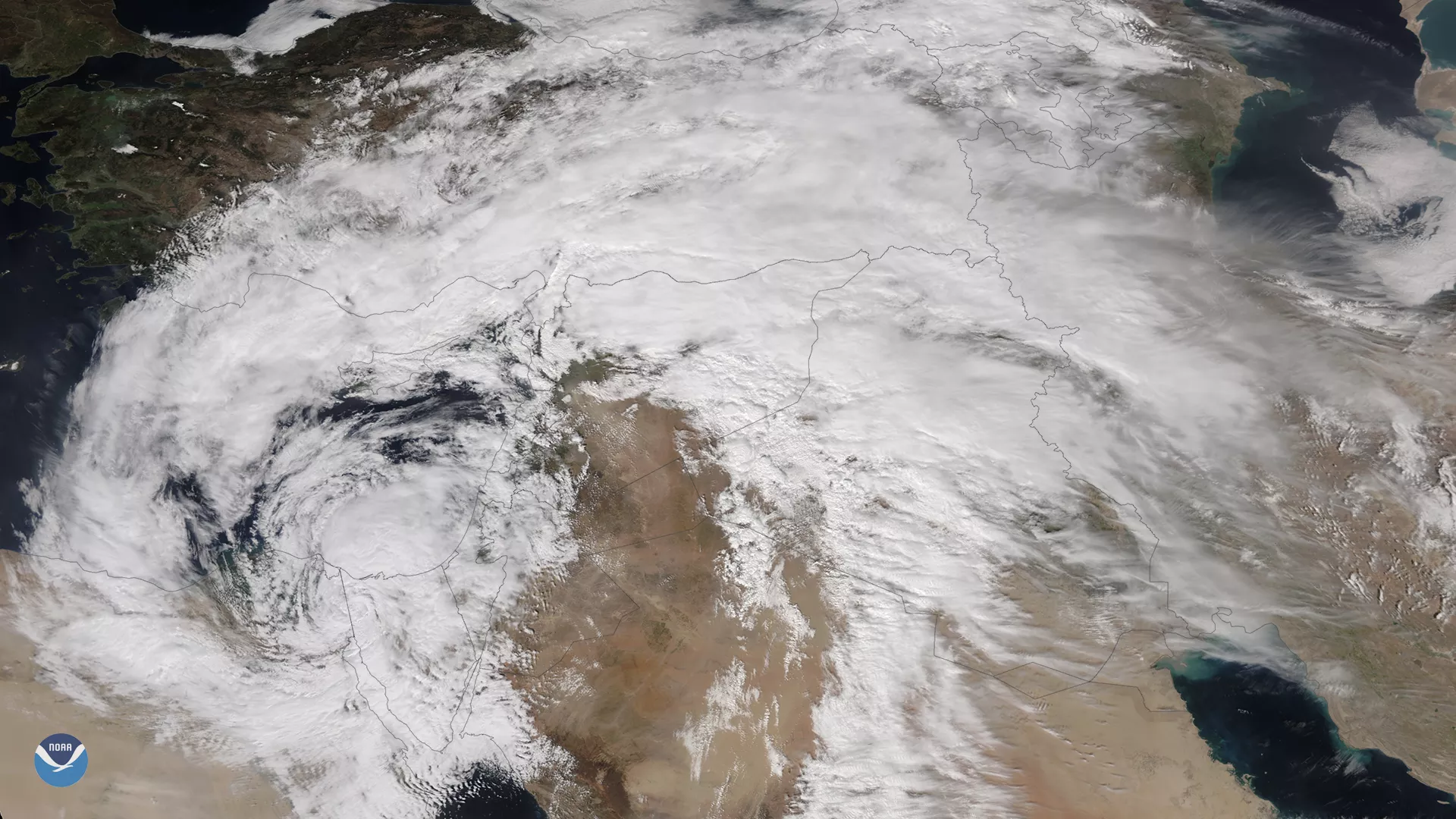
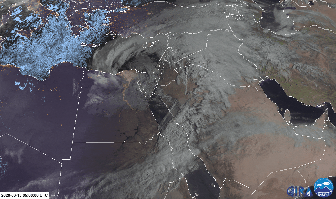
An unusually powerful mid-latitude cyclone that formed rapidly over Egypt on Thursday, March 12, 2020, is wreaking havoc in the Middle East. Destructive winds, sandstorms, and torrential downpours have caused widespread flooding and damage throughout the country, killing at least 20 people thus far. Nicknamed “the dragon” on social media, some models have estimated that for this region and this time of year, its intensity is six standard deviations from normal, which is exceptionally rare.
Egypt declared a state of emergency due to the storm earlier this week, and Prime Minister Mustafa Madbouli urged Egyptians to stay at home during the storm and to keep away from light poles after several people were electrocuted. The government also closed schools, businesses, transportation services, and the Luxor International Airport, which is a major airline hub for tourists. The Cairo International Airport remains open, however, as the storm continues on toward Israel.
According to the Times of Israel , the country’s meteorological service is predicting thunderstorms with heavy rains and winds of 60 mph or greater, while gusts along the coast may reach up to 75 mph. Hail may also affect some areas across the country from Thursday night into Friday morning. Local authorities are warning that residents brace for “dense dust clouds, and enough rain to cut off outlying cities and threaten large cities with severe flooding.” They also expect the high winds to cause damage to trees, electricity poles, traffic lights, buildings, and solar water heaters.
This image was captured on March 13, 2020 by the NOAA-20 satellite's VIIRS instrument , which scans the entire Earth twice per day at a 750-meter resolution. Multiple visible and infrared channels allow it to detect atmospheric aerosols, such as dust, smoke and haze associated with industrial pollution and fires. The polar-orbiting satellite circles the globe 14 times daily and captures a complete daytime view of our planet once every 24 hours.