NOAA's Deep Space Climate Observatory (DSCOVR) satellite, which had been offline for about nine months due to a technical glitch, is fully operational again, agency experts said today.
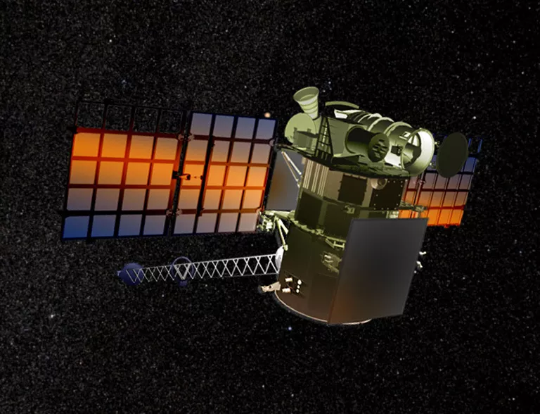
Artist's rendering of the DSCOVR satellite
On June 27, 2019, issues with the satellite’s attitude control system prompted engineers to place DSCOVR into a “safe hold.” That maneuver halted the flow of all science observations, including imagery from NASA's Earth Polychromatic Imaging Camera (EPIC). The high-powered camera takes full-disk images of the Earth used for global monitoring of clouds and vegetation, as well as atmospheric ozone and aerosols.
NOAA and NASA engineers developed a flight software patch to restore DSCOVR's operations.
"Bringing DSCOVR operational again shows the unique skills and adaptability of our NOAA and NASA engineers and the care we are taking to get the maximum life from an aging asset," said Steve Volz, Ph.D., assistant NOAA administrator for its Satellite and Information Service.
While DSCOVR was out of service, NOAA's Space Weather Prediction Center (SWPC) received critical space weather observations from NASA’s Advanced Composition Explorer and continued to issue space weather alerts, watches and warnings.
When it launched on Feb. 11, 2015, DSCOVR was America's first operational satellite in deep space, orbiting about a million miles from Earth. It is the Nation's primary monitor of real-time solar wind data and a warning system for solar magnetic storms that could threaten electrical grids, disrupt communication systems and the Global Positioning System navigation, reroute air travel, affect satellite operations and endanger human spaceflight.
DSCOVR is a partnership between NOAA, NASA and the U.S. Air Force. NOAA operates DSCOVR from its Satellite Operations Facility in Suitland, Maryland, and processes the space weather data at NOAA's Space Weather Prediction Center (SWPC) in Boulder, Colorado. From there, SWPC distributes the DSCOVR data to users within the United States and around the world. NASA Goddard processes the Earth science data and makes it publicly available.