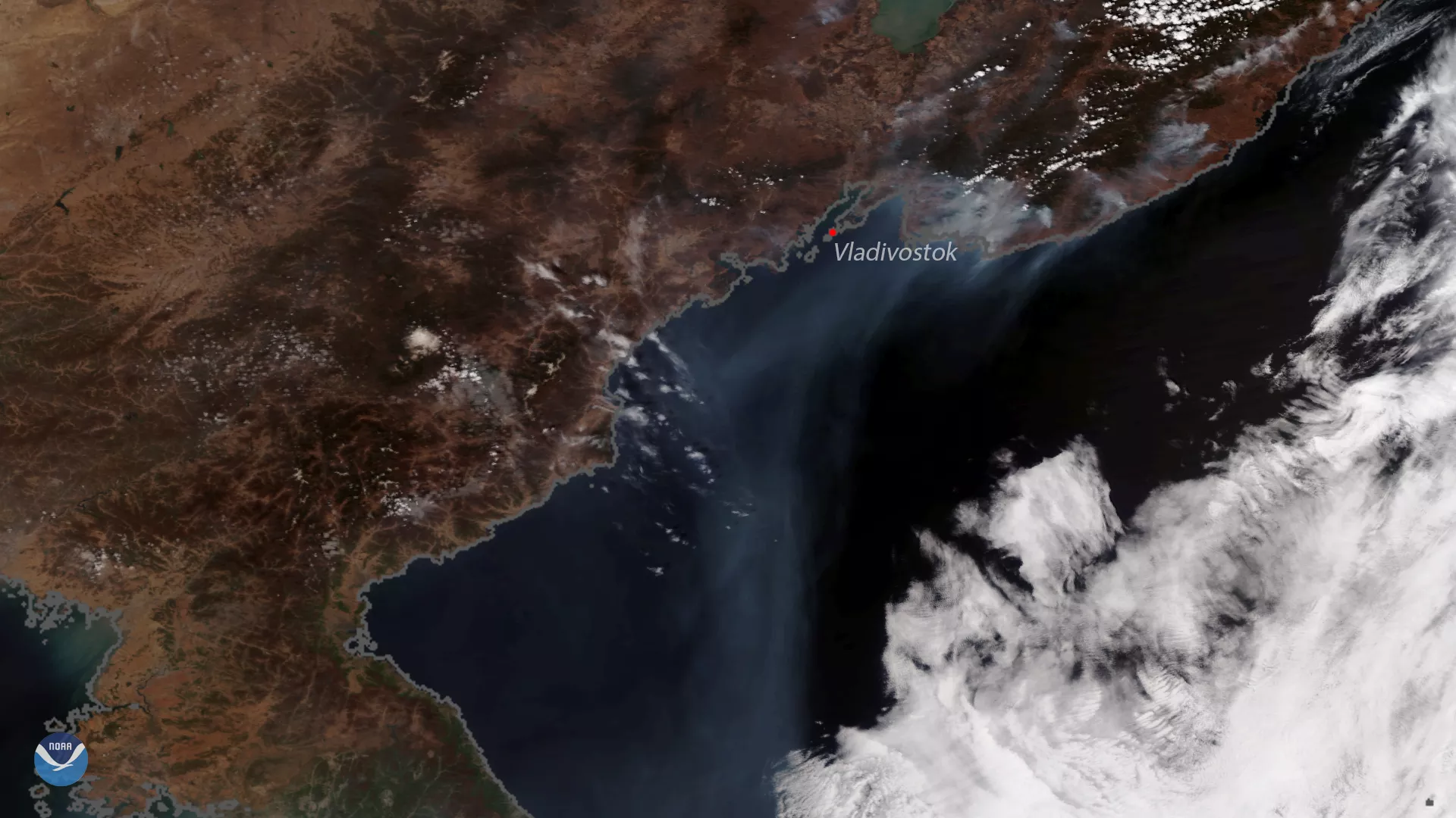
This image, captured by the NOAA-20 polar-orbiting satellite, shows several active fires burning along the coast of eastern Russia, near the port city of Vladivostok, on April 25, 2018. Northerly winds out of Siberia allowed smoke from the fires to stream southward into the Sea of Japan. Satellites often see fires in eastern Russia during spring, when local populations use fire to clear land for agriculture ahead of the upcoming growing season.
The NOAA-20 satellite's VIIRS sensor provides global coverage twice a day with 750 m resolution across its entire scan. Its daily multi-band imaging capabilities support the acquisition of high-resolution atmospheric imagery, including visible and infrared imaging of hurricanes, atmospheric aerosols and, as shown here, detection of fires and smoke.