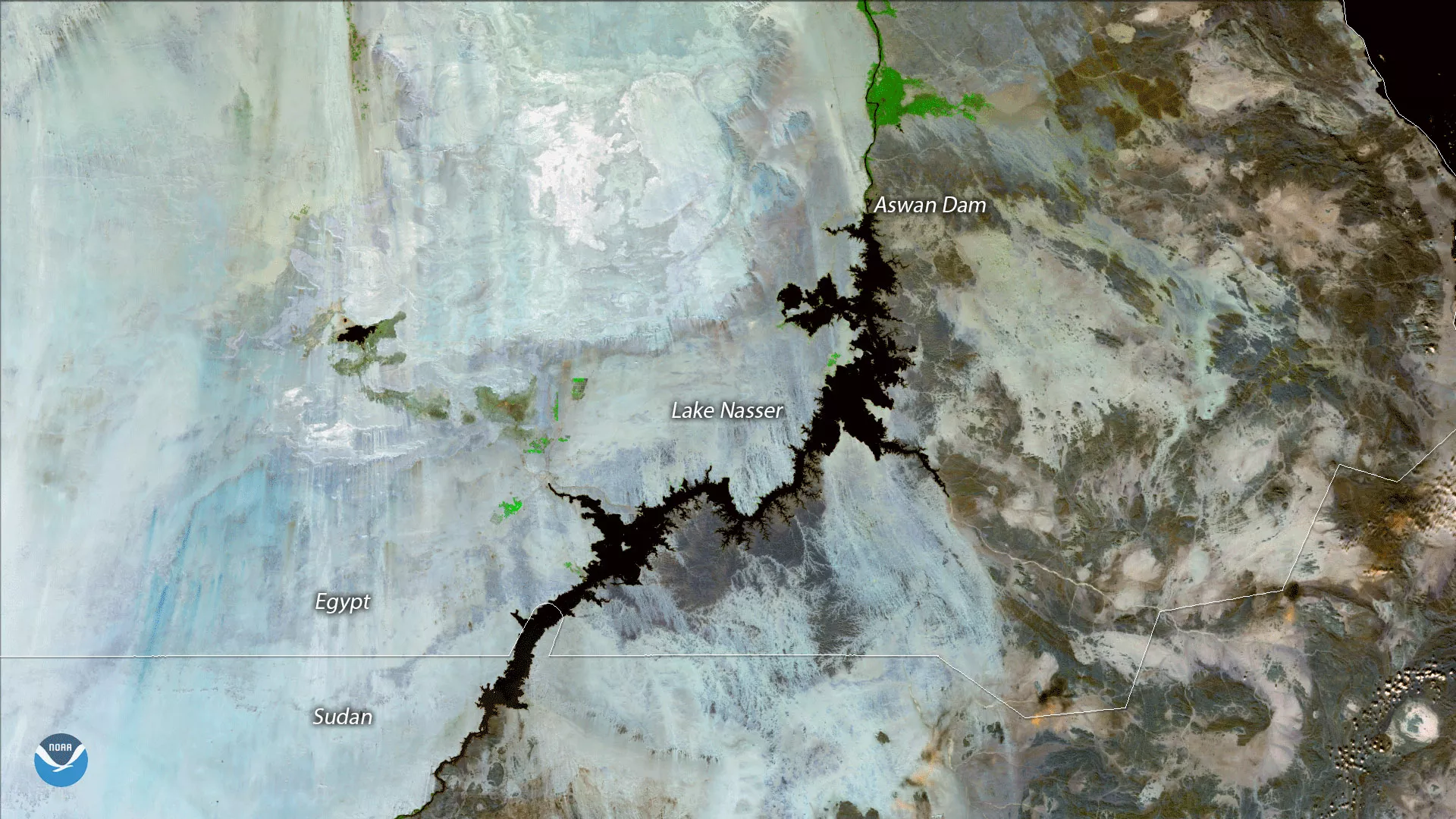
NOAA/NASA's Suomi NPP satellite's VIIRS instrument captured this cloud-free view of Lake Nasser, Egypt on November 28, 2017. Straddling the border of Egypt and Sudan, the lake is one of the largest man-made bodies of water in the world, and forms part of the Aswan Dam built across the Nile River in the 1960s. Cloud-free images of the lake are quite common, as the arid region lies in one of Earth's subsidence zones, where sinking air in the Sahara Desert limits the formation of clouds and precipitation.
This Suomi NPP VIIRS image uses three of the sensor’s high resolution imagery channels to differentiate the land types in the areas, based on their visual and thermal differences. Bright blue areas are more barren, due to desert or urbanization, while green areas are vegetated.