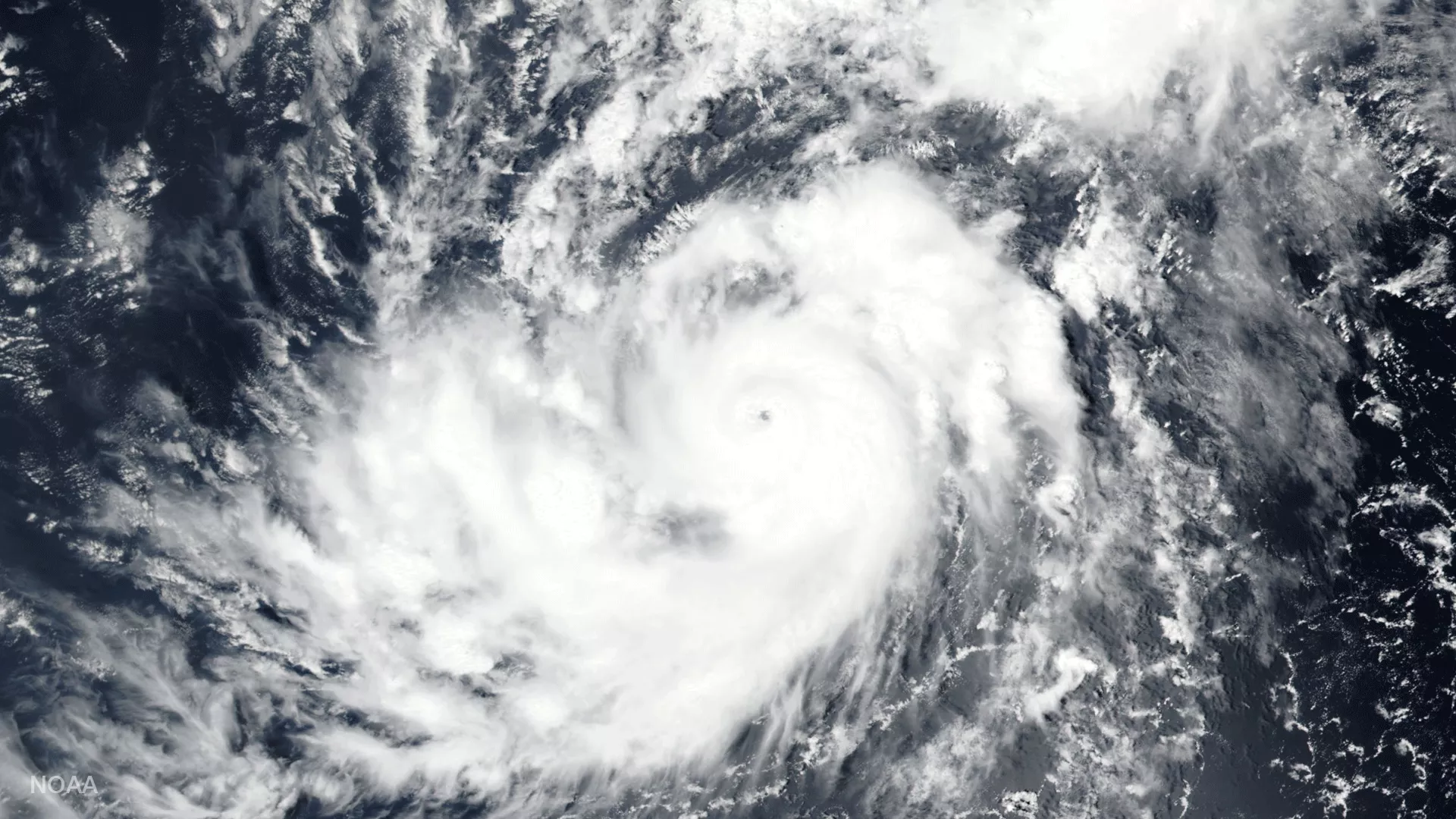
The Visible Infrared Imaging Radiometer Suite (VIIRS) instrument aboard the NOAA/NASA Suomi NPP satellite captured this visible imagery of Hurricane Irma at 11:15 am (eastern) today, August 31, 2017. According to the most recent report (11:00 am eastern) from NOAA’s National Hurricane Center, Irma is located about 650 miles west of the Cabo Verde Islands and moving toward the west-northwest near 10 miles per hour. This general motion is forecast through early Friday (9/1), followed by a generally westward motion on Saturday (9/2). Irma's maximum sustained winds have increased to near 100 miles per hour with higher gusts. The storm is forecast to become a major hurricane by tonight and is expected to be an extremely dangerous hurricane for the next several days.