The GOES-East satellite has been monitoring severe thunderstorms that brought torrential rain, destructive winds, and more than 400 severe weather reports along with roughly 40 tornado reports to the southern US this weekend.
At least 19 people have been confirmed dead with dozens more injured, as 1.3 million lost power between Texas and Pennsylvania. Southern Mississippi and parts of Louisiana saw “catastrophic” damage after twin supercell thunderstorms prompted overlapping “tornado emergencies”—a rare, high-level alert that NOAA’s National Weather Service uses when an ordinary tornado warning may not go far enough.
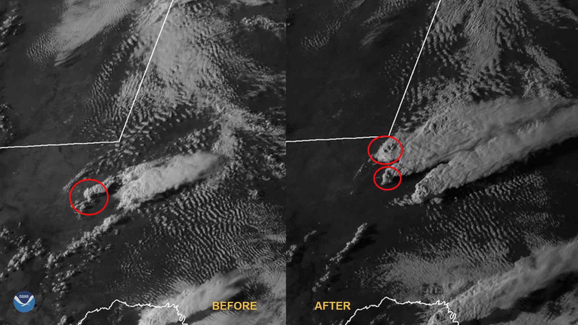
The below animation shows two supercell storms side-by-side over Texas, one of which is actually splitting into two. This occurs when there is strong vertical shear , since when winds change directions at various heights in the atmosphere, the top of the storm may move one way while the base will move with the prevailing winds along the ground. Upward moving air may allow new updrafts to form, and when the right conditions occur at the right time, the storm will split. Do you see this occurring?
Splitting storms can make predicting storm tracks difficult for forecasters. Additionally, split storms may merge with other existing storms, causing them to intensify and increase the chances of forming tornadoes.
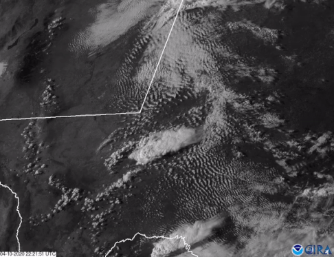
Today, April 13, 2020, the storms are moving eastward. NOAA’s Storm Prediction Center said that these severe storms will continue through midday from southeast Virginia to north Florida, and will be possible from midday into early afternoon from northern Virginia/Maryland into Pennsylvania. They also issued tornado watches for various areas from the Mid-Atlantic down through Florida.
The GOES-East geostationary satellite, also known as GOES-16, keeps watch over most of North America, including the continental United States and Mexico, as well as Central and South America, the Caribbean, and the Atlantic Ocean to the west coast of Africa. The satellite's high-resolution imagery provides optimal viewing of severe weather events, including thunderstorms, tropical storms, and hurricanes.