

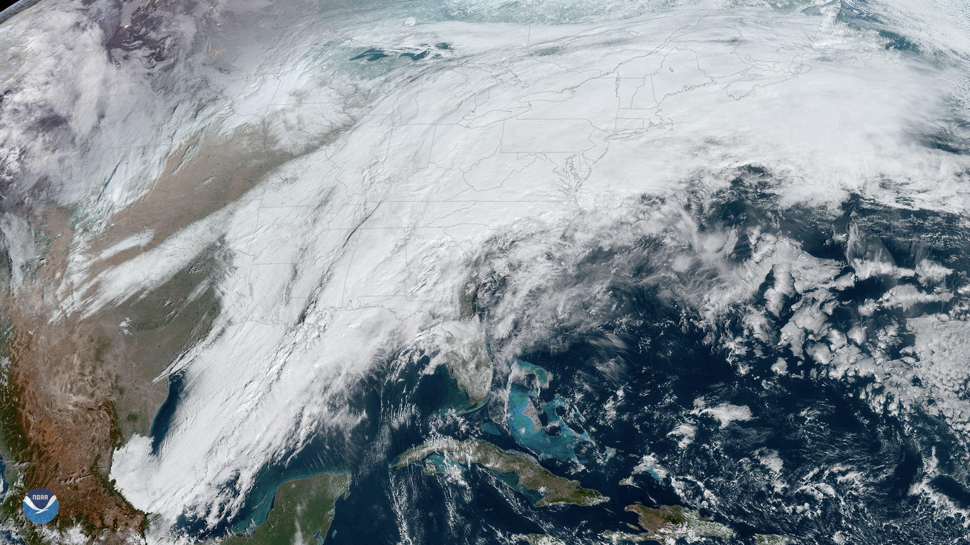
On Thursday, Feb. 6, 2020, the GOES East satellite is watching a large winter storm stretching roughly 2,000 miles across the U.S., while severe thunderstorms bring torrential rain and damaging winds across the Southeast.
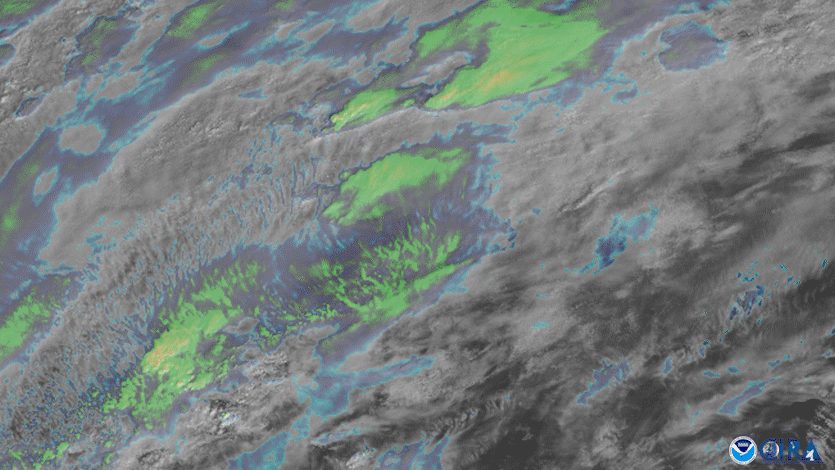
A combination of infrared and visible imagery showing the storms in the Deep South on Feb. 5, 2020 via GOES East.
NOAA’s Storm Prediction Center (SPC) expects these thunderstorms to push from the northeastern Gulf Coast this morning to parts of the Carolinas and southeastern Virginia by early evening. In fact, the chance for severe weather is elevated enough that the SPC has a good portion of the Southeast under an Enhanced Risk for severe weather, including damaging winds and a few tornadoes. There are also tornado watches in effect for parts of southeastern Alabama, the western Florida Panhandle, and west-central and southwestern Georgia. Thus far, there have been 24 preliminary reports of tornadoes.
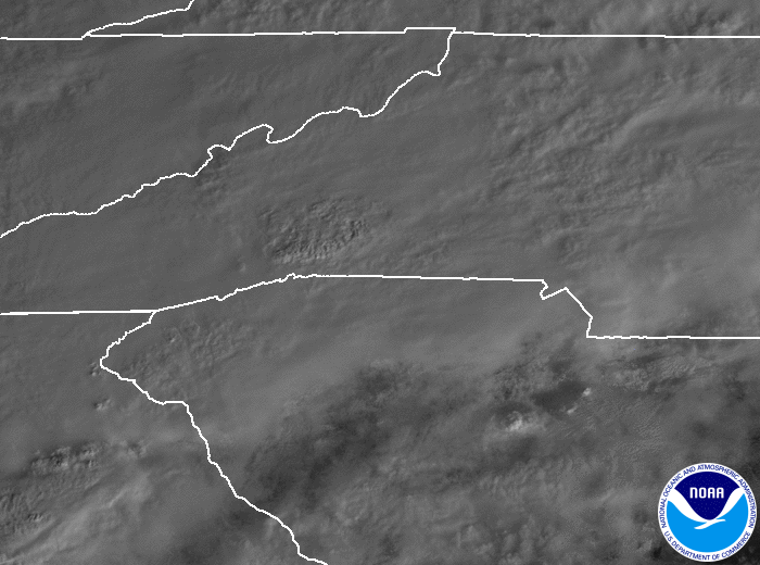
Mesoscale visible view of the storms via GOES East on Feb. 6, 2020.
The National Weather Service has also issued flash flood warnings across northeastern Alabama, northern Georgia, and western South Carolina as well as watches all the way up through the mid-Atlantic region through New Jersey. Some locations could see more than two inches of rain in just a few hours.
As far as the winter storm, the National Weather Service stated that wintry precipitation in the Northeast will become heavier on Thursday night and Friday, with particularly heavy snowfall over western and upstate New York as well as northern New England. Freezing rain and sleet may also affect the region.
Please use caution when traveling in any of these areas.
The GOES East geostationary satellite, also known as GOES-16, keeps watch over most of North America, including the continental United States and Mexico, as well as Central and South America, the Caribbean, and the Atlantic Ocean to the west coast of Africa. The satellite's high-resolution imagery provides optimal viewing of severe weather events, including thunderstorms, tropical storms, and hurricanes.