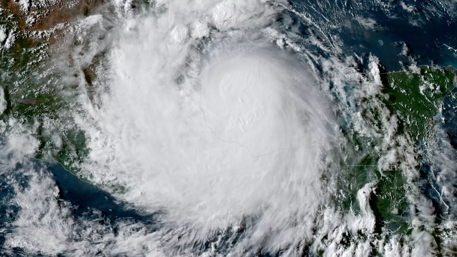
GOES-16 captured this geocolor image of Hurricane Franklin (now a remnant low) on the evening of August 9, 2017. According to the most recent information from NOAA’s National Hurricane Center, the remnants of Tropical Storm Franklin are about 20 miles north-northwest of Mexico City, Mexico, and moving toward the west near 20 mph (31 km/h) and this motion is expected to continue today. The system's maximum sustained winds have decreased to near 30 mph (45 km/h) with higher gusts. Additional weakening is expected during the next day or so. The remnants of Franklin are expected to produce total rainfall accumulations of 4 to 8 inches with isolated maximum amounts of 15 inches possible across the Mexican states of northern Veracruz, Puebla, Tlaxacala, eastern Guanajuato, Hidalgo, Queretaro and eastern San Luis Potosi in eastern Mexico. These rains are capable of producing life-threatening flash floods and mudslides.