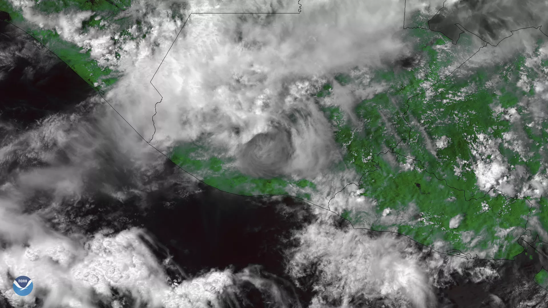
The Suomi NPP satellite's VIIRS instrument captured this image of the Fuego Volcano eruption in Guatemala on June 3, 2018. Despite numerous clouds overhead, the dark ash cloud is easily distinguishable in the center of the image. Known locally as "Volcán de Fuego", or "Fire Volcano," the 12,340 foot stratovolcano is one of the most active in Latin America, located about 27 miles from the capital, Guatemala City. While the volcano erupted as recently as February 2018, the latest event has been far more catastrophic. Media are reporting at least 69 people have been killed and thousands more have evacuated as a deadly combination of lava, ash, loose rocks and gases flowed down mountainsides, destroying nearby villages in their path.
This image was created by combining three of the high resolution thermal and visible channels from the Suomi NPP satellite's VIIRS sensor (SVI 4,2,1 RGB). These channels allow us to distinguish different land types and features based on their visual and thermal differences. In this imagery, the ash cloud associated with the eruption appears darker gray in the center of the image. While satellites can detect the location of hotter areas, such as pyroclastic flows, here they are largely obscured by clouds.