Oil was leaking from a corroded pipeline in Trinity Bay, Texas on July 6. The leak was discovered when analyst Michael Turk, with the Satellite Analysis Branch, looked at the image coming in from Sentinel-1A, a European satellite that had passed over the area.
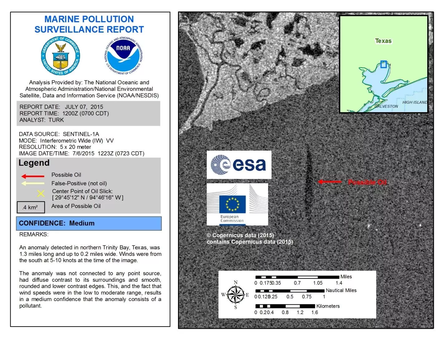
The black streak on the image didn’t look like much, but Turk knew it was likely to be oil. Turk alerted the US Coast Guard, which did a fly-over to confirm the oil’s presence. Within hours, the owner of the pipeline had begun repairs.
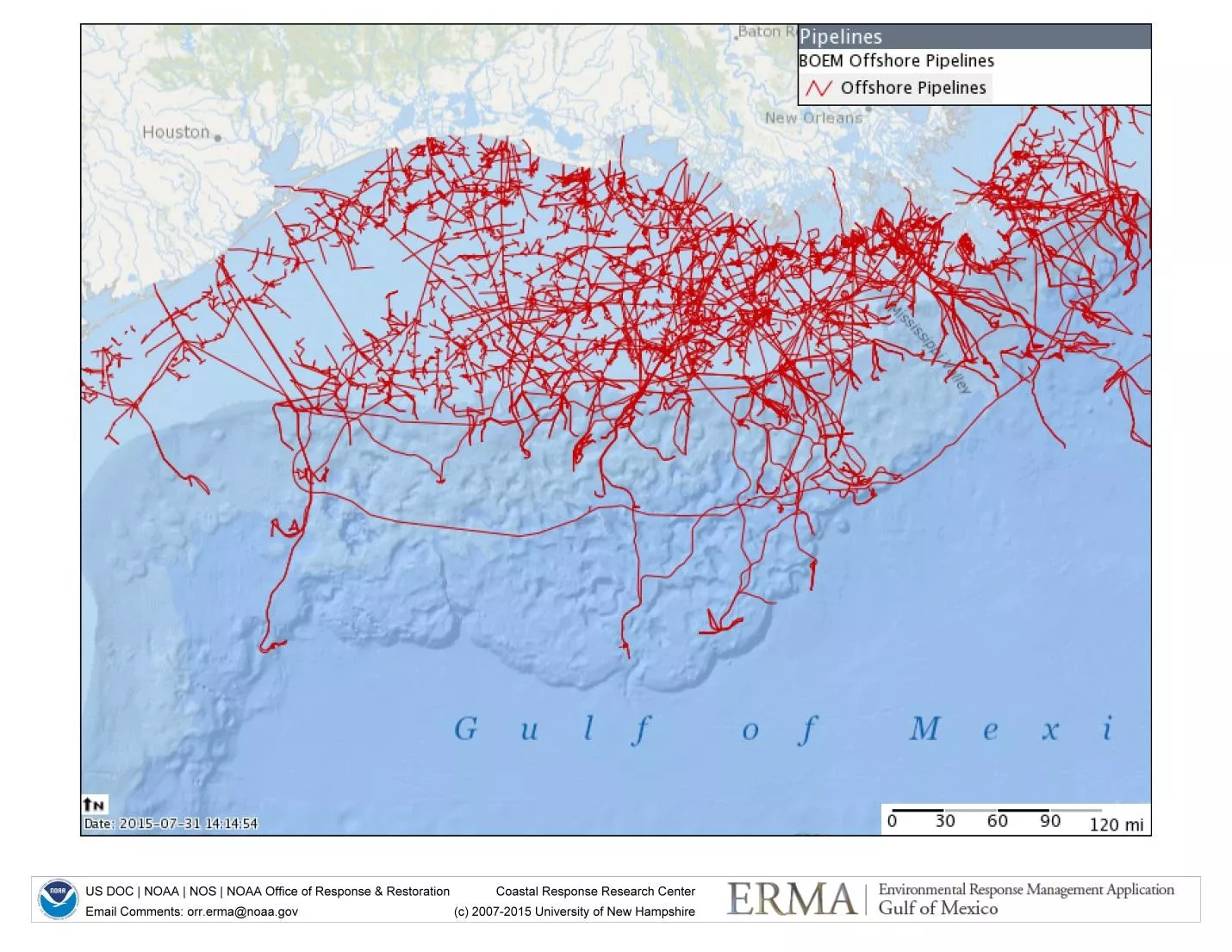
Pipelines old and new crisscross the ocean floor in U.S. waters like a busy circuit board, so the potential for leaks is significant.
Oil production facilities rely on drops in pressure within the pipelines to alert them to potential leaks, but sometimes the flow lines don’t show a large enough drop in pressure. Leaks are occasionally discovered by accident when someone notices the sheen of oil on the water’s surface from a boat or an airplane.
Satellite images offer us a much better opportunity to discover oil spills and leaks because they cover large areas at a glance. That’s why NOAA uses satellite observations to keep watch for oil and other kinds of marine pollution around-the-clock, 365 days a year.
The marine pollution team that Turk leads uses data and images from an array of American and international satellites to search for the tell-tale signs of oil.
In the case of Sentinel-1A, the satellite uses a technology called synthetic aperture radar, which can “see” through clouds and sense the ocean surface. The satellite sends down a signal that then bounces off Earth’s surface and is received again by the satellite. Oil on the water’s surface dampens waves and alters the signal as it bounces back. Oiled water appears black in comparison with the gray of the unoiled ocean.
Satellite imagery isn’t fool-proof, but it gives us a much better chance to detect leaks quickly so that we can fix the problem and prevent damage to the marine environment. The team’s next catch might lead to the discovery of another leaking pipe or sunken ship--like the torpedoed WWII tanker that they found leaking oil on July 11 off the coast of New York. Until then, Turk and his team will be watching.