

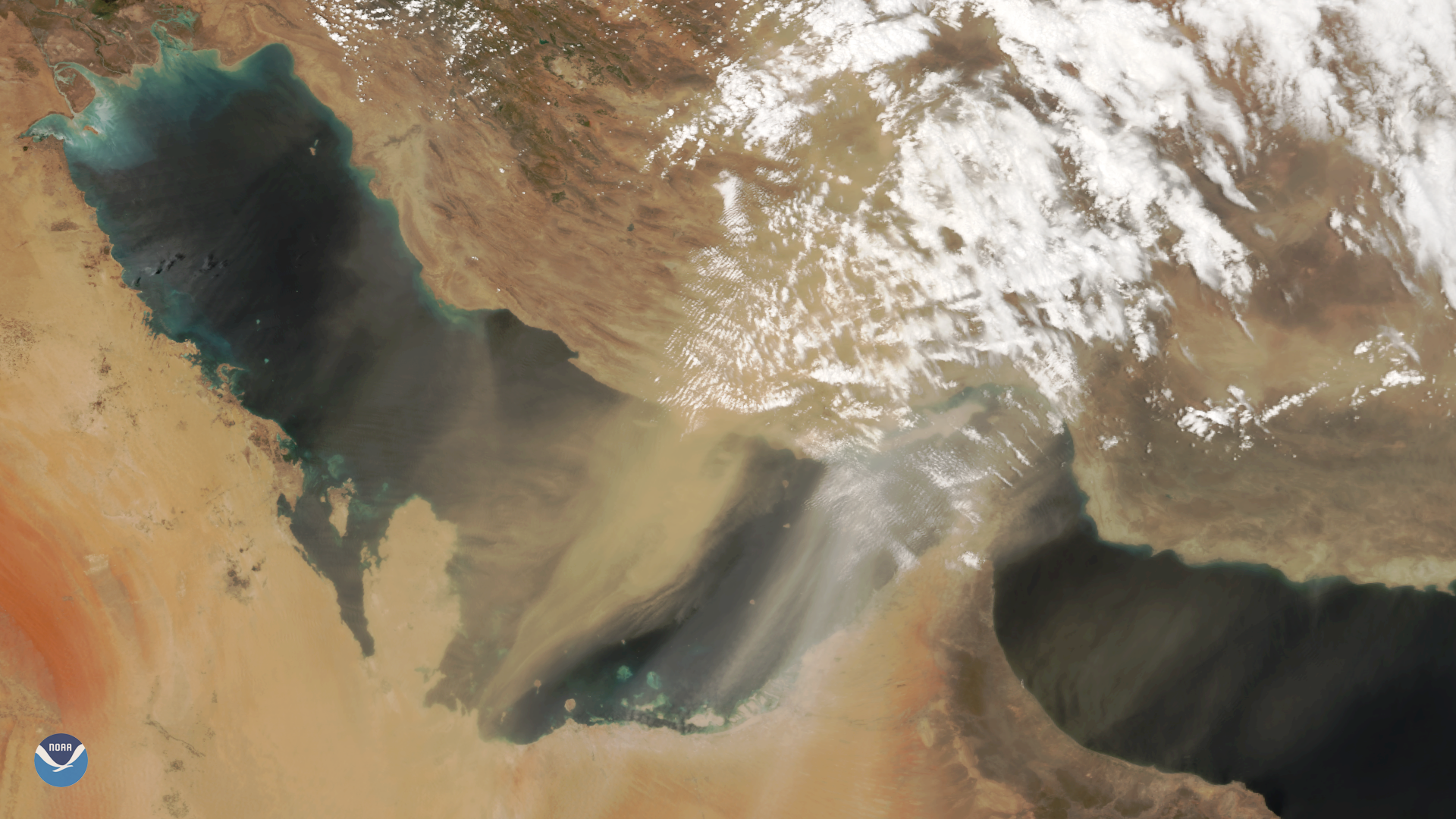
The NOAA-20 satellite captured this image of a large dust storm over the Persian Gulf and on May 13, 2018. Though beautiful from space, the dust was disruptive on the ground. In the United Arab Emirates, low visibility snarled travel and caused several flight delays, according to local media outlets.
Dust storms are common over the Persian Gulf and Arabian Peninsula throughout the year. They typically peak during late spring and early summer when strong northwesterly winds, known locally as the shamal, funnel dust out of Turkey and Iraq southward into the Persian Gulf. These fierce winds can last several days and sometimes reach gale force strength.
The NOAA-20 satellite's VIIRS sensor provides global coverage twice a day with 750-meter resolution across its entire scan. Its daily multi-band imaging capabilities support the acquisition of high-resolution atmospheric imagery, including visible and infrared imaging of atmospheric aerosols, such as dust and sand. Scientists estimate that on average, about 20 teragrams of dust are suspended in the atmosphere at any one time. Much of this dust can be found over the desert regions of the Middle East and North Africa.