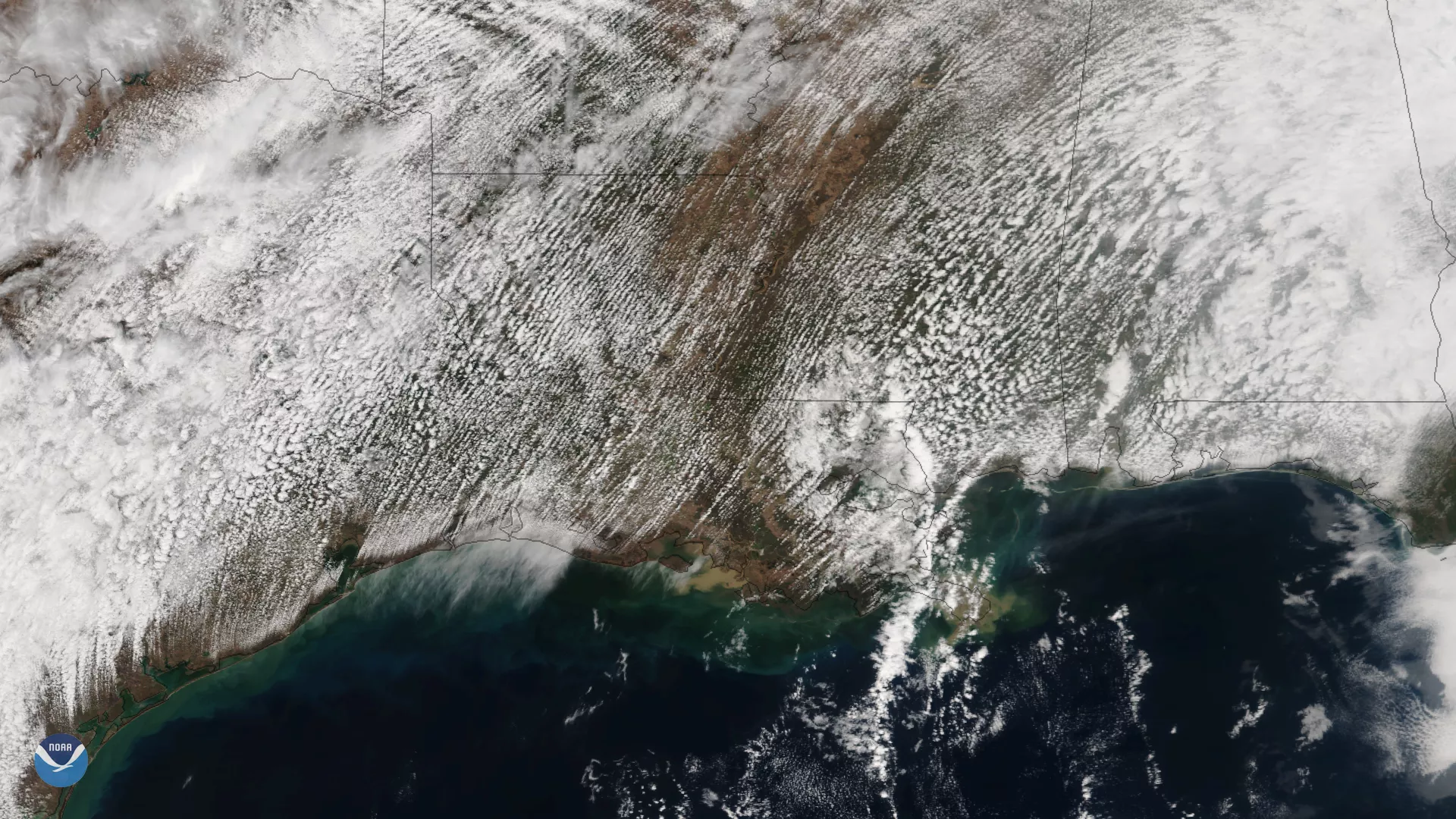
Multiple rows of cumulus clouds appear over Texas, Louisiana and the Gulf Coast in this image captured by the Suomi NPP satellite's VIIRS instrument on February 15, 2018. The southwesterly atmospheric flow pattern can be seen in the orientation of the clouds, as warm, moist air from the Gulf of Mexico moved from southwest to northeast. These southwest winds led to a mild, springlike day across much of the southern and eastern United States.
Cumulus clouds, such as those shown here, form through atmospheric convection, when heat from the sun causes buoyant pockets of air, called thermals, to rise upward from the Earth's surface. As the air rises, it cools and becomes saturated, allowing water droplets to condense into puffy-shaped clouds.
Although true-color images like this may appear to be photographs of Earth, they aren't. They are created by combining data from the three color channels on the VIIRS instrument sensitive to the red, green and blue (or RGB) wavelengths of light into one composite image. In addition, data from several other channels are often also included to cancel out or correct atmospheric interference that may blur parts of the image.